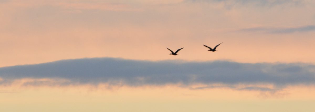
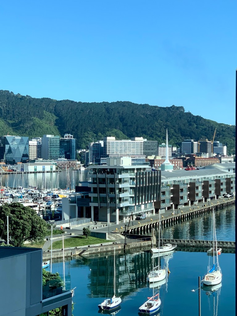
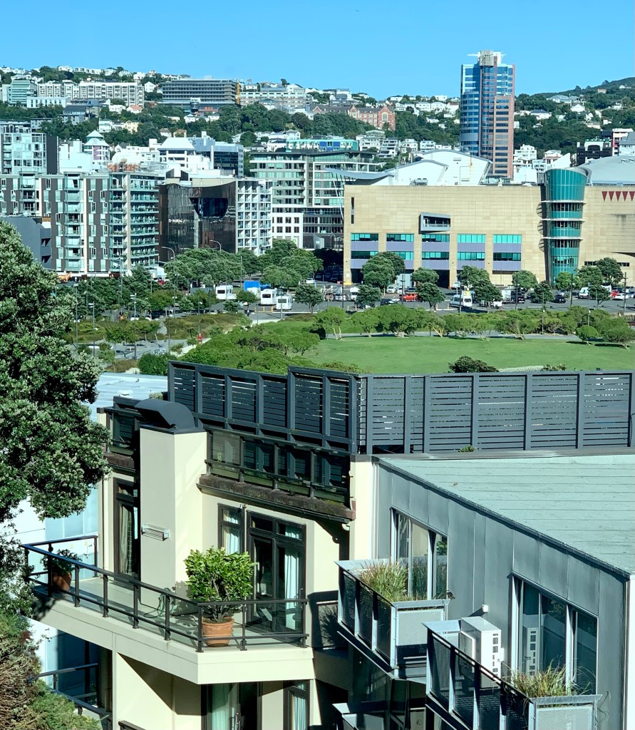
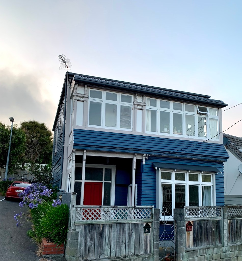
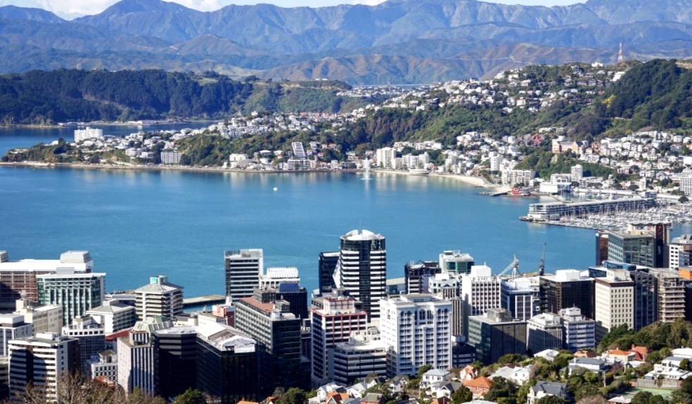
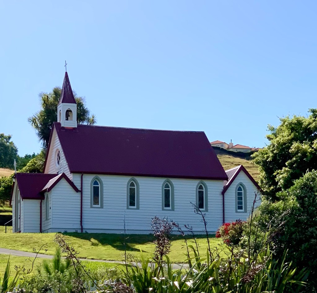
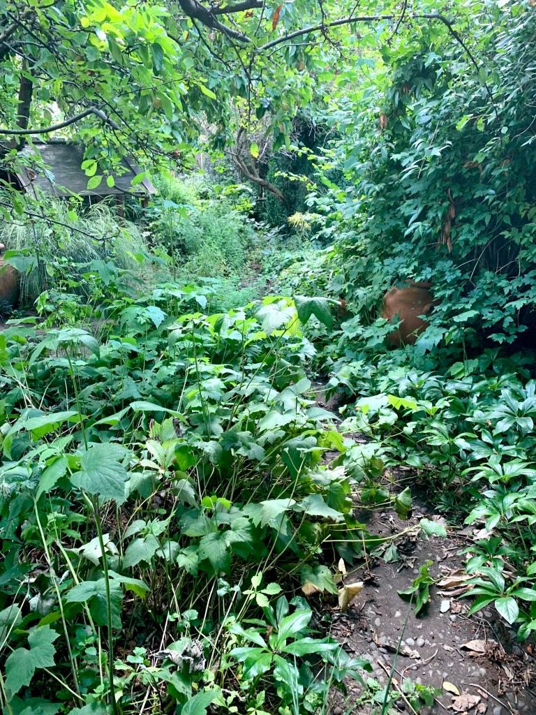
Wellington is located at the south-western tip of the North Island on Cook Strait, the passage that separates the North and South Islands. The city sprawls along several bays dotted along this southern coast and is relatively densely populated because of the narrow strip of building space available between the sea and the surrounding hills, There are also lots of houses built in the dense native bush on those hills.
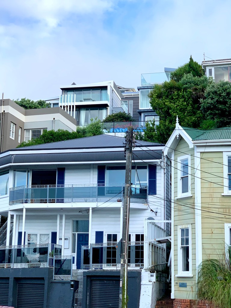
As well as being New Zealand’s windiest city, Wellington is also the country’s hilliest city. There are 38 mountains in and around Wellington City, the highest and the most prominent of which is Outlook Hill with an elevation of 537m. The whole of the Wellington region, which covers an area of 8,049 square km, is mountainous. It comprises 480 named mountains, the highest and the most prominent peak of which is the Bannister summit with an elevation of 1573m.
Within a short period of time, we were already out of the city and into the countryside. Rather than retracing our steps back to Taupō on SH1, we decided to drive back via SH2, through the Hutt Valley to Palmerston North and then back onto SH1 via SH54. Michael had a lot of driving ahead of him today because we had to cover 384km which Google maps estimated would take 5 hours and 44 minutes with no stops.
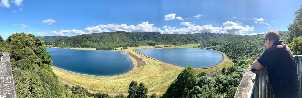
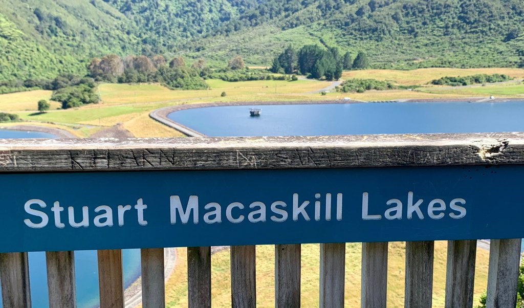
About 42km from Wellington we stopped at a scenic lookout to see the two Macaskill Lakes. They are named for Stuart Alisdair Macaskill who retired in 2001 after 30 years of elected public service, many of them as chairman of the Wellington Regional Council. He was a driving force behind the concept and construction of the lakes between 1980 and 1987 to provide an alternative and supplementary drinking water supply for Wellington, Porirua, Hutt and Upper Hutt Cities.
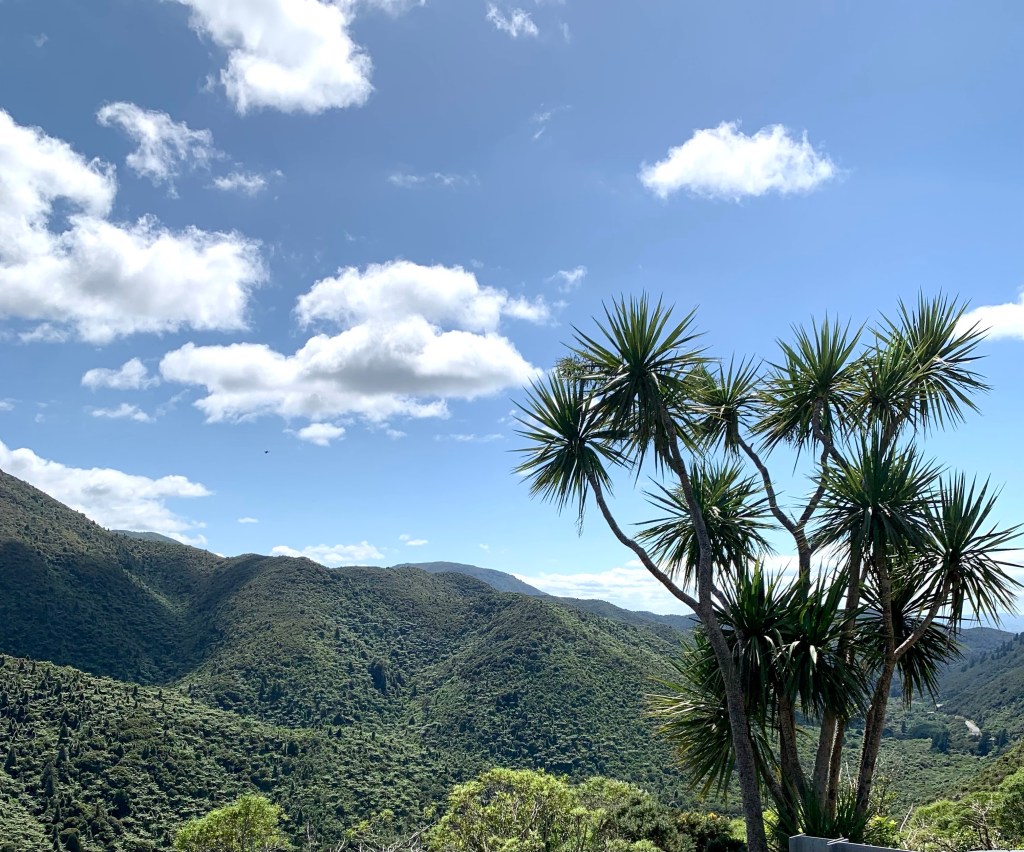
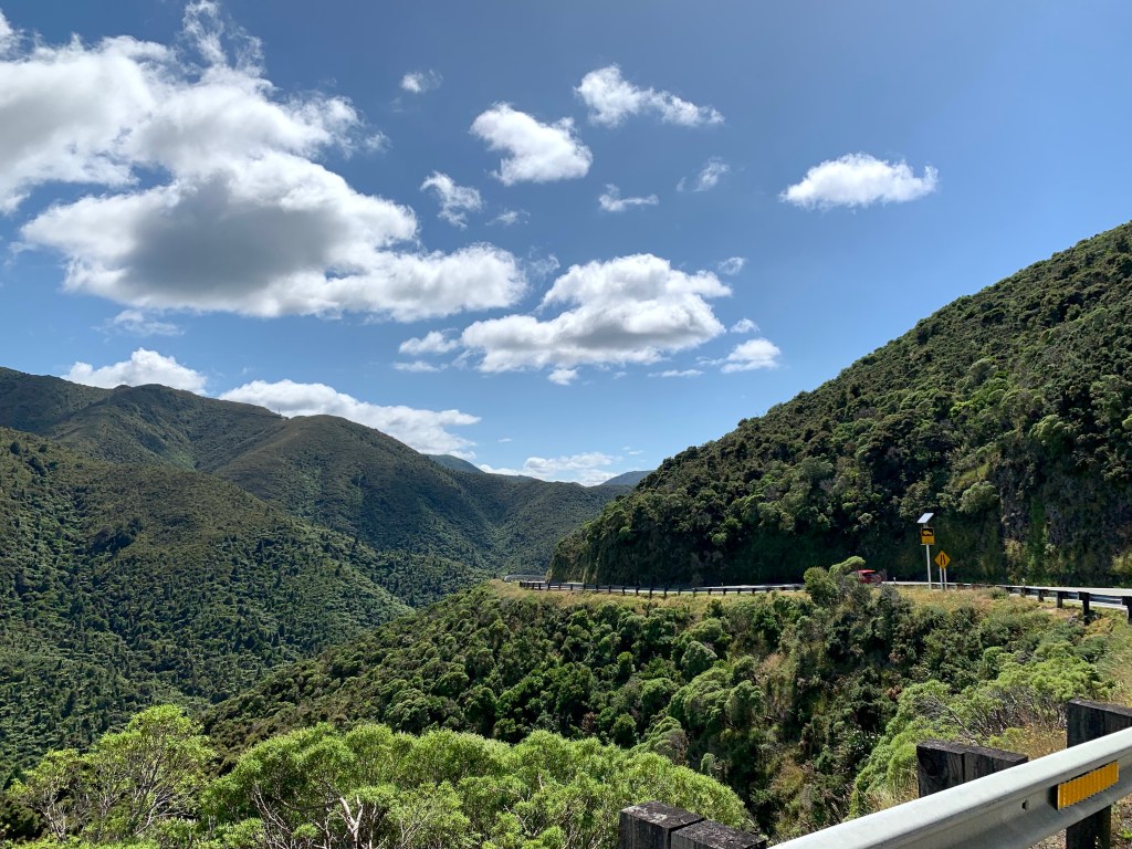
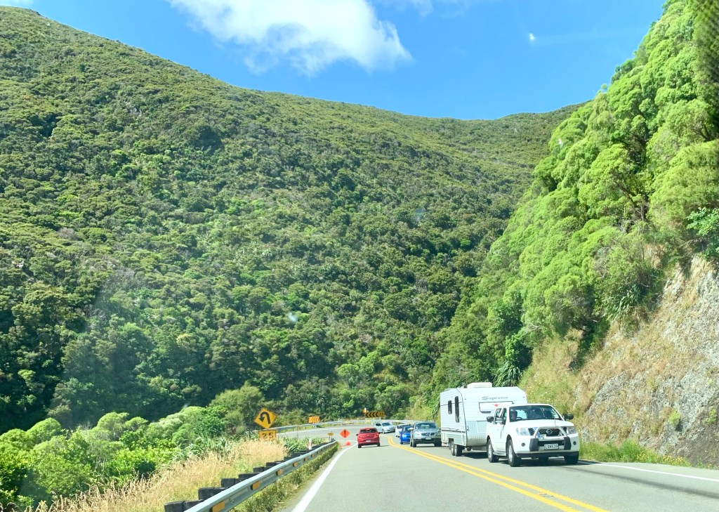
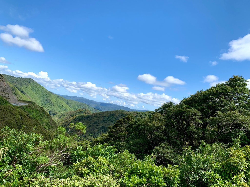
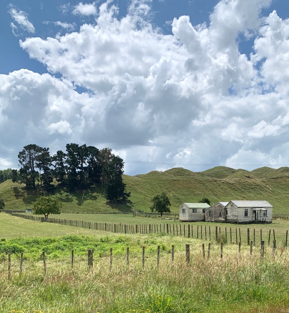
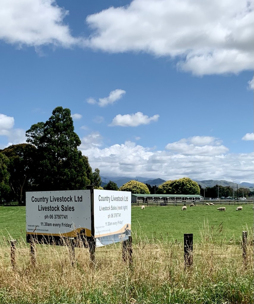
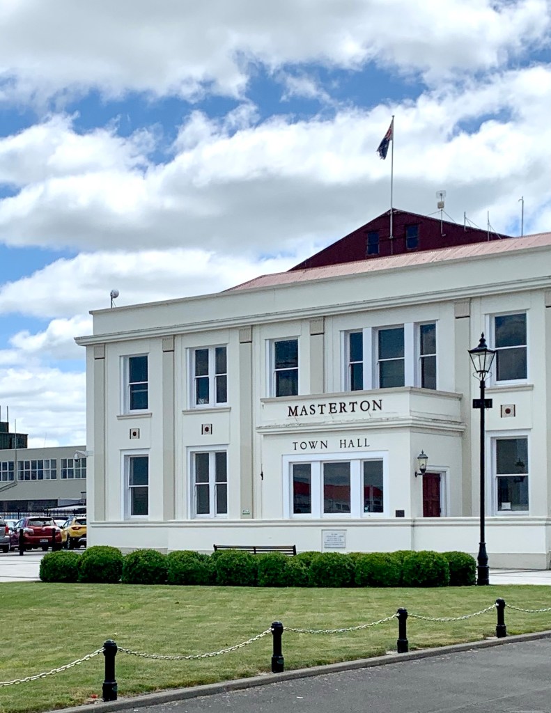
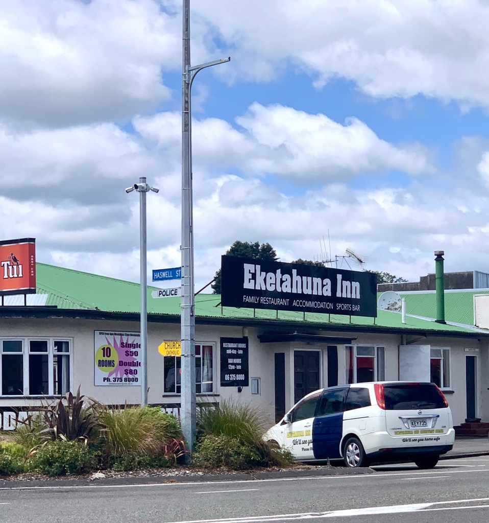
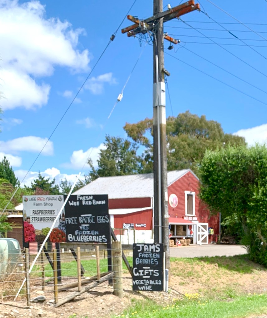
SH2 goes through countryside that is very mountainous and wooded but there is also a lot of farmland. The road goes through some small settlements and towns in this Manawatū-Whanganui region in the lower half of the North Island on the way to Palmerston North: Featherston, Greytown, Carterton, Masterton, Mount Bruce, Eketāhuna, Pahiatua.
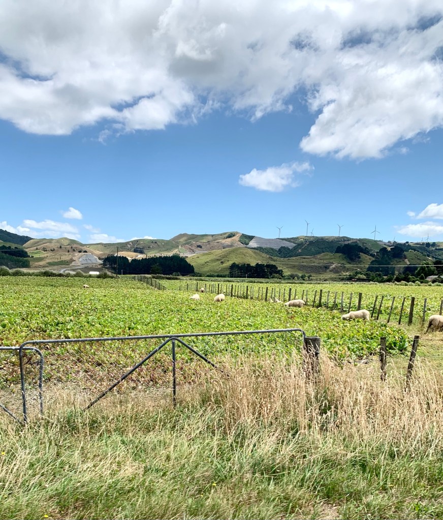
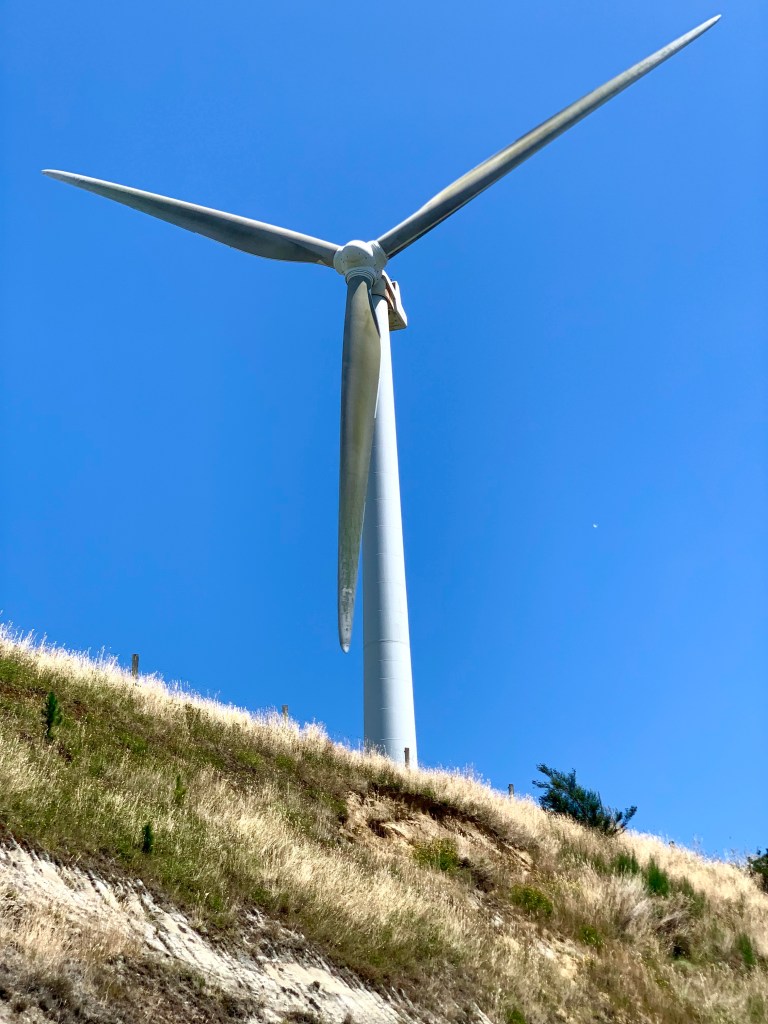
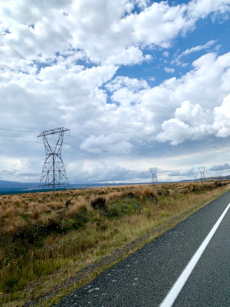
About 10 km from Palmerston North, we were surprised to find ourselves in the middle of a huge field of wind turbines. It was strange to see so many of them and to be so close to them.
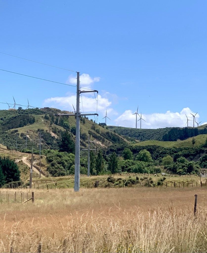
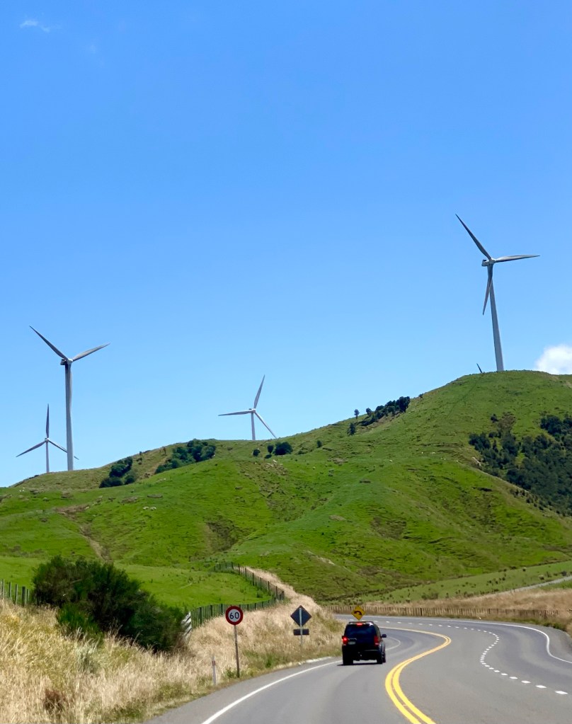
Tararua wind farm, operated by TrustPower, is located on 700 hectares of private sheep and beef farming land on the south side of the Manawatu Gorge in the Tararua Ranges. It is New Zealand’s largest wind farm, both in terms of number of turbines and output. Its 134 turbines have a combined capacity of 161 megawatts and an average annual output of 620,000 megawatt hours. The wind farm has 103 Vestas V47 660 kilowatt turbines and 31 Vestas V90 3 megawatt turbines.
From Palmerston North, we took SH54 for 59km to rejoin the SH1 just after Vinegar Hill. After another 43km back on SH1, we stopped for a very late lunch at Taihape at 14.45. On the way down south 7 days ago we had stopped at Taihape for lunch too.
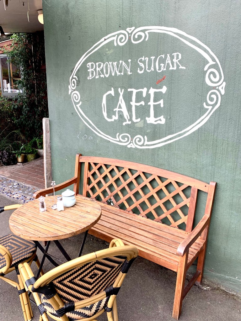
We decided to try another one of Peter’s café recommendations, the Brown Sugar Café this time. It is right across the road from Le Café Telephonique where we stopped before. The Brown Sugar Café turned out to be a good café, with very nice food, an interesting range of unusual and attractive objects for sale – including attractive Polish porcelain pieces and some intriguing books – and a beautiful garden out back. It was a very pleasant place to stop and have a refreshing break. Another great recommendation from Peter!
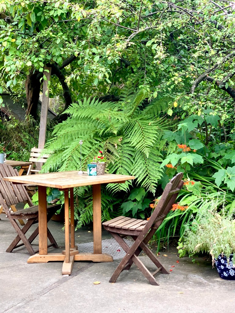
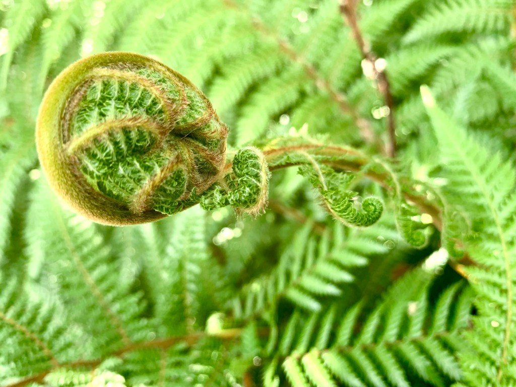
I managed to take a lovely photo of an unfurling fern frond in the café’s garden.
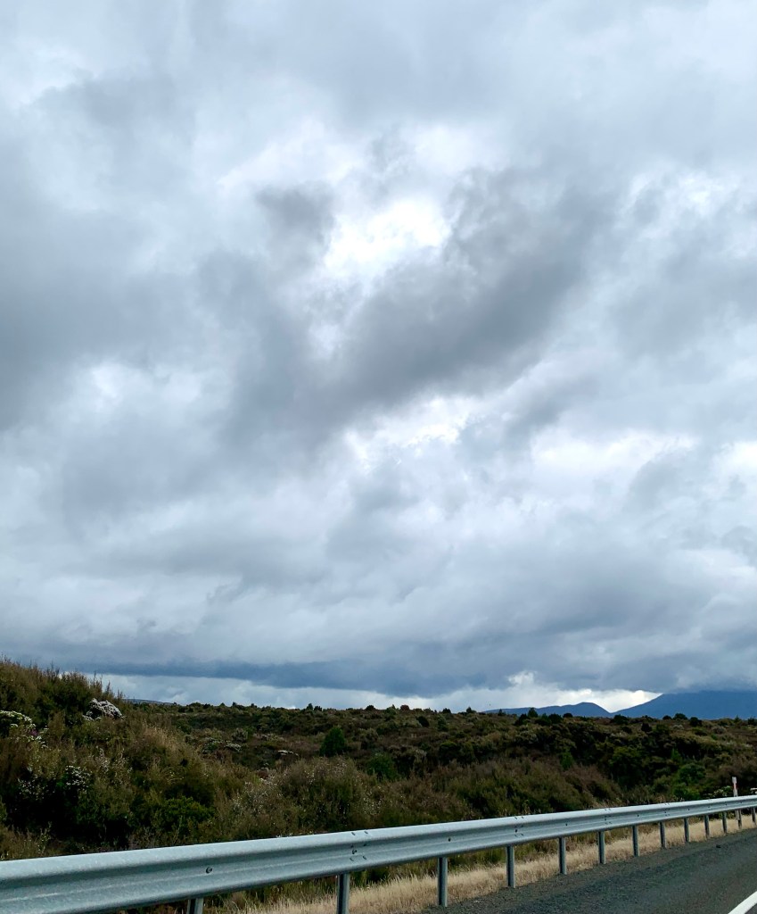
After Taihape, which is 141km south of Taupō, we were back on SH1 following the striding giants again but northwards this time. The sky began to darken and the clouds got heavier and lower in the sky and we could see the rain starting over the mountains on the western horizon. A little later we went through some very heavy rain but it didn’t last long and the sky cleared somewhat as we started driving alongside the eastern shores of Lake Taupō.
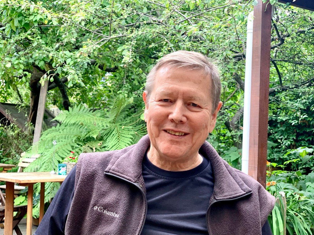
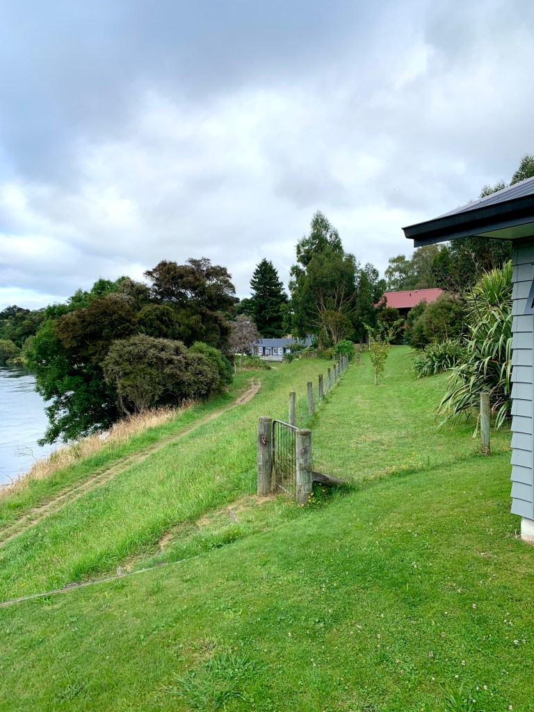
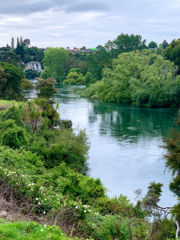
Then we were back at Peter and Jackie’s lovely house at the bend of the river. Michael has driven for many hours this past week and we have seen so many things. It’s been a really great road trip to the South Island from Taupō, covering about 1769km of road. Very well done done to Michael for some epic driving! Much appreciated! ♥️
A river is time in water; as it came, still so it flows, yet never is the same. – Leonardo da Vinci

Just catching up after being away in Bolivia for a few days. You seem to have been blessed with tremendous weather in general and some of those photos are exceptional. That’s a great picture of Michael (the driver!) Still reading everything so keep it coming.
LikeLiked by 1 person
Bolivia must have been a very interesting place to visit. How did you find it?
LikeLike
We just got out of the aeroplane and there it was ha ha. That’s how we found it. La Paz is an astonishing city and well worth a visit. We saw a few Inca arefacts and then went to Lake Titicaca for a few days. Again an amazing place, It is HUGE.
LikeLike
I have always wanted to go there. How wonderful to see it! Great birthday treat 🎂♥️ Wishing you a very happy birthday and many more interesting journeys to come. xx
LikeLike