In one drop of water are found all the secrets of all the oceans. – Khalil Gibran
19th January 2023
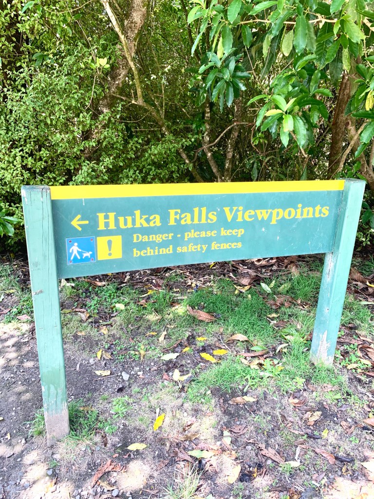
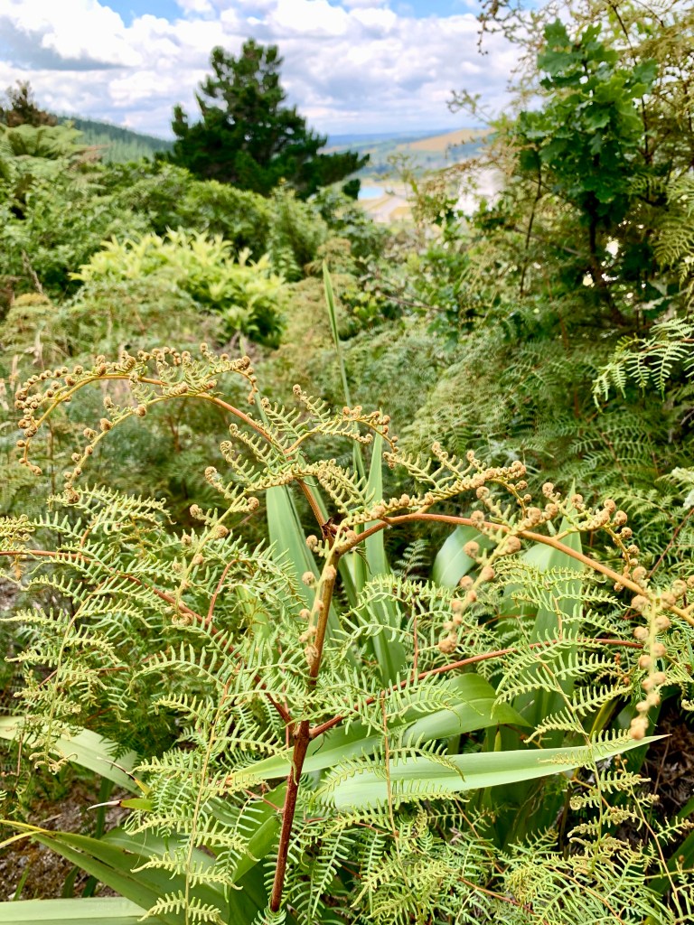
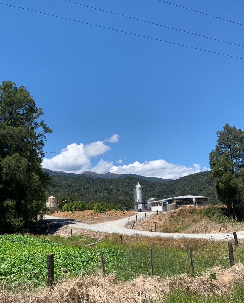
This morning we visited the Hula Falls, a set of waterfalls on the Waikato River, that drains into Lake Taupō.
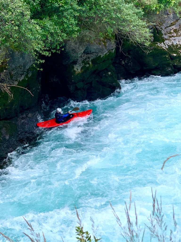
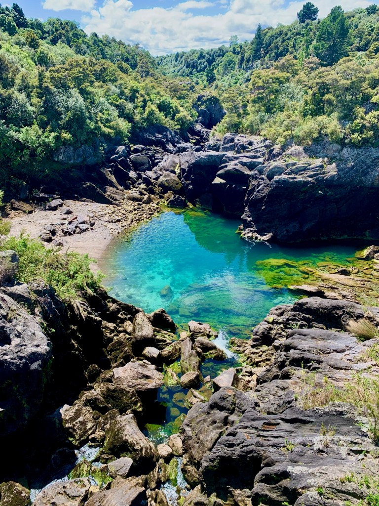
A few hundred metres upstream from Huka Falls, the Waikato River narrows from approximately 100 metres across to a canyon only 15 metres across and the water is forced through this narrow chasm and over a dramatic cliff drop.
The volume of water flowing through this gorge is controlled by a power generation company but often approaches 220,000 lites every second. The name huka is the Maori word for ‘foam’, which is fitting as the rushing water and falling rapids resembles foam, especially under high flow conditions. It was humbling indeed to watch the force and power of that thundering water.
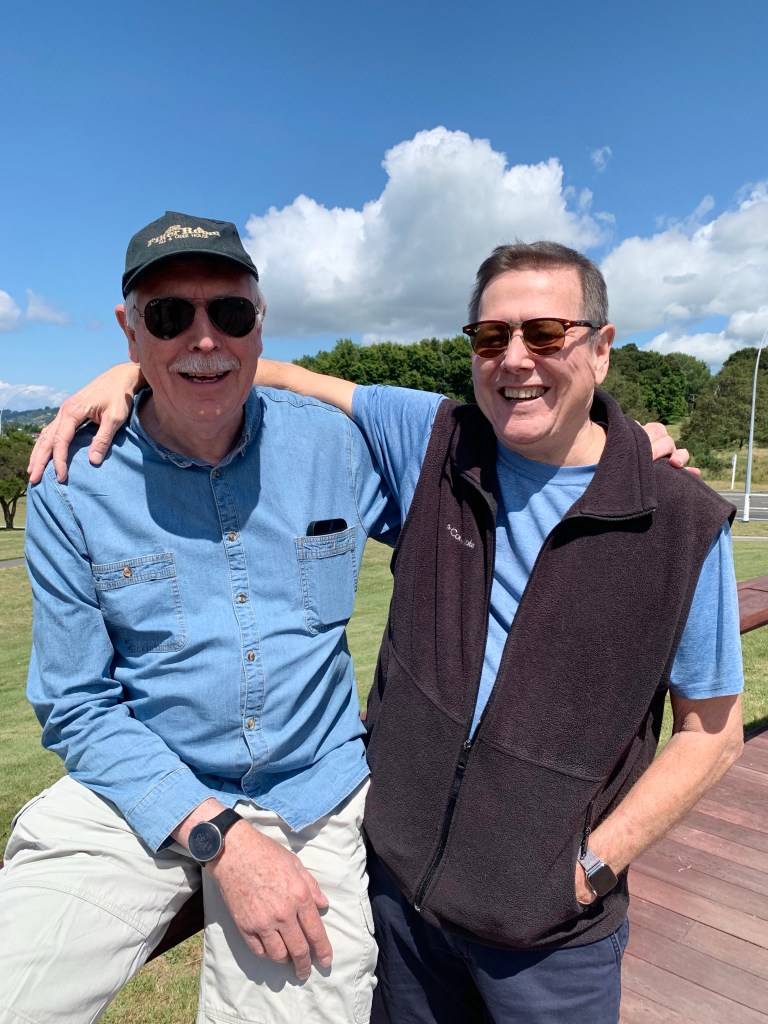
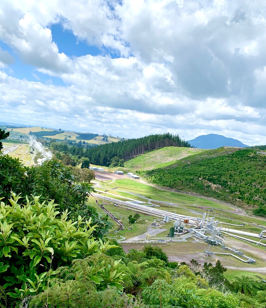
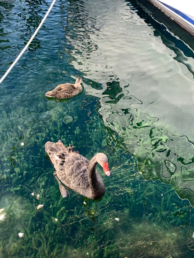
Kayak daredevil Jackie and Kirsty Plucheries and Fleek reunitedHere’s looking at you! Wairakei Power Station
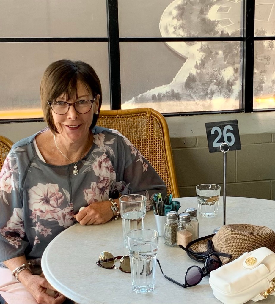
We then had good lunch at a nice place called Cafebaku which overlooks Lake Taupō.
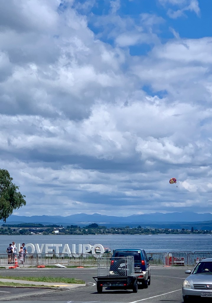
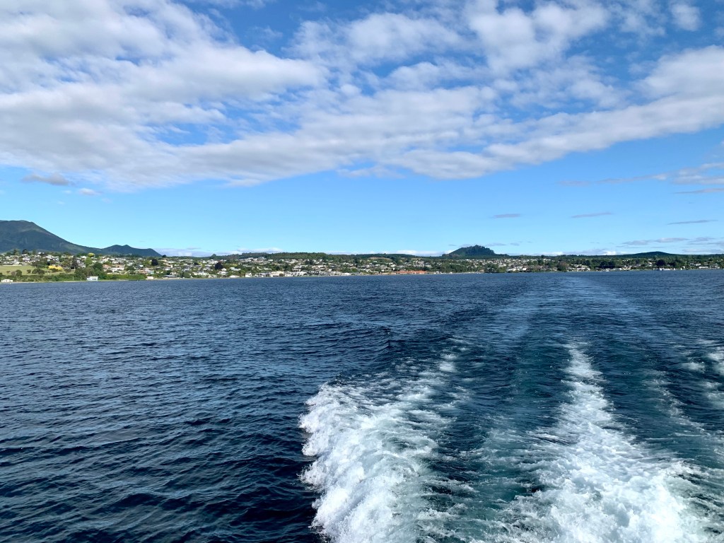
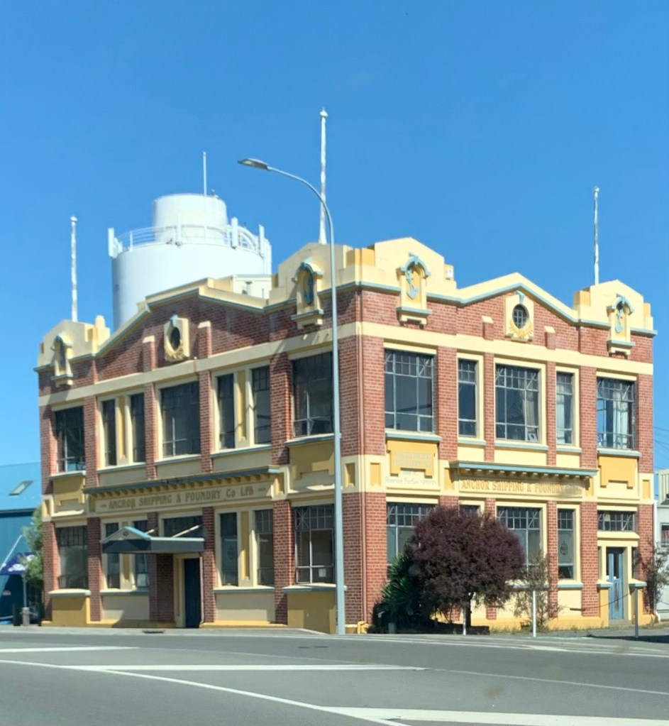
The town of Taupō is situated on a bay on the northeastern shore of Lake Taupō which is the large caldera of Taupō volcano. It is the largest lake in New Zealand, with a surface area of 616 km2 (238 sq mi.)
A lovely day was had by all of us and, after a few hours relaxing at home, the day drew to a very pleasant conclusion with an excellent dinner at a restaurant called Plateau.
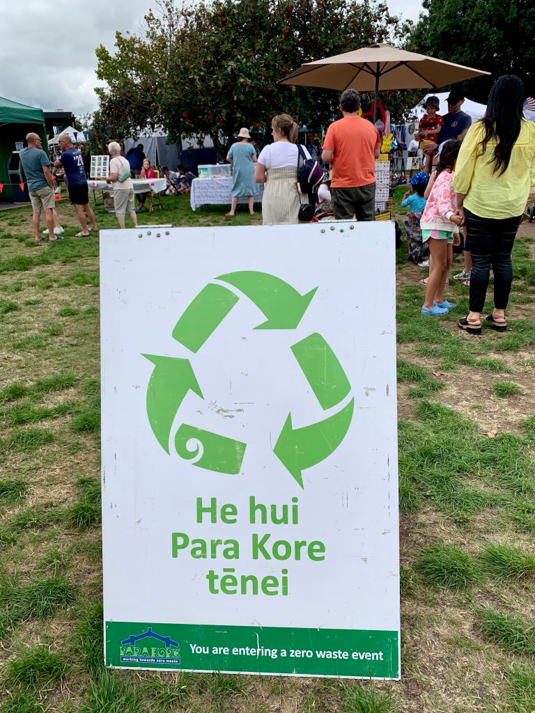
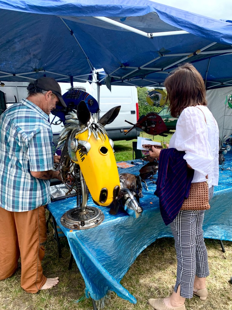
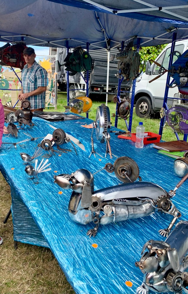
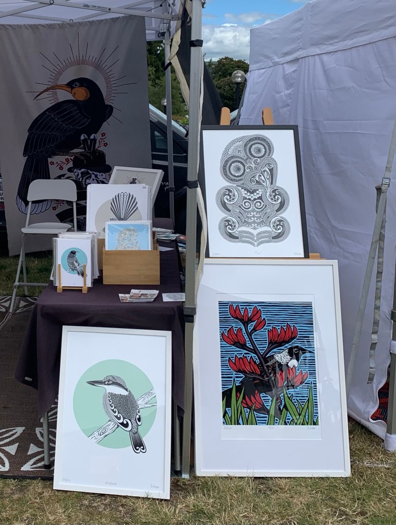
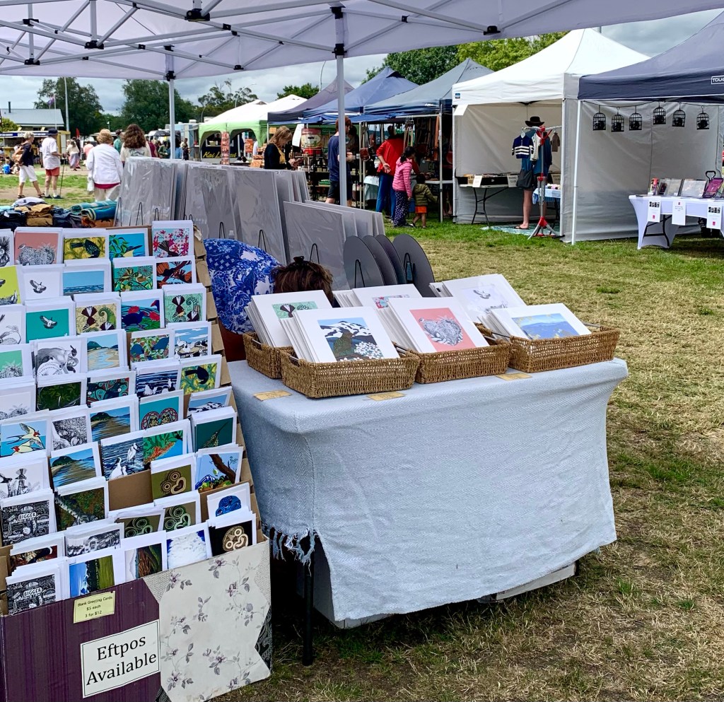
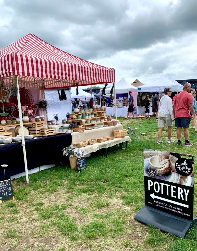
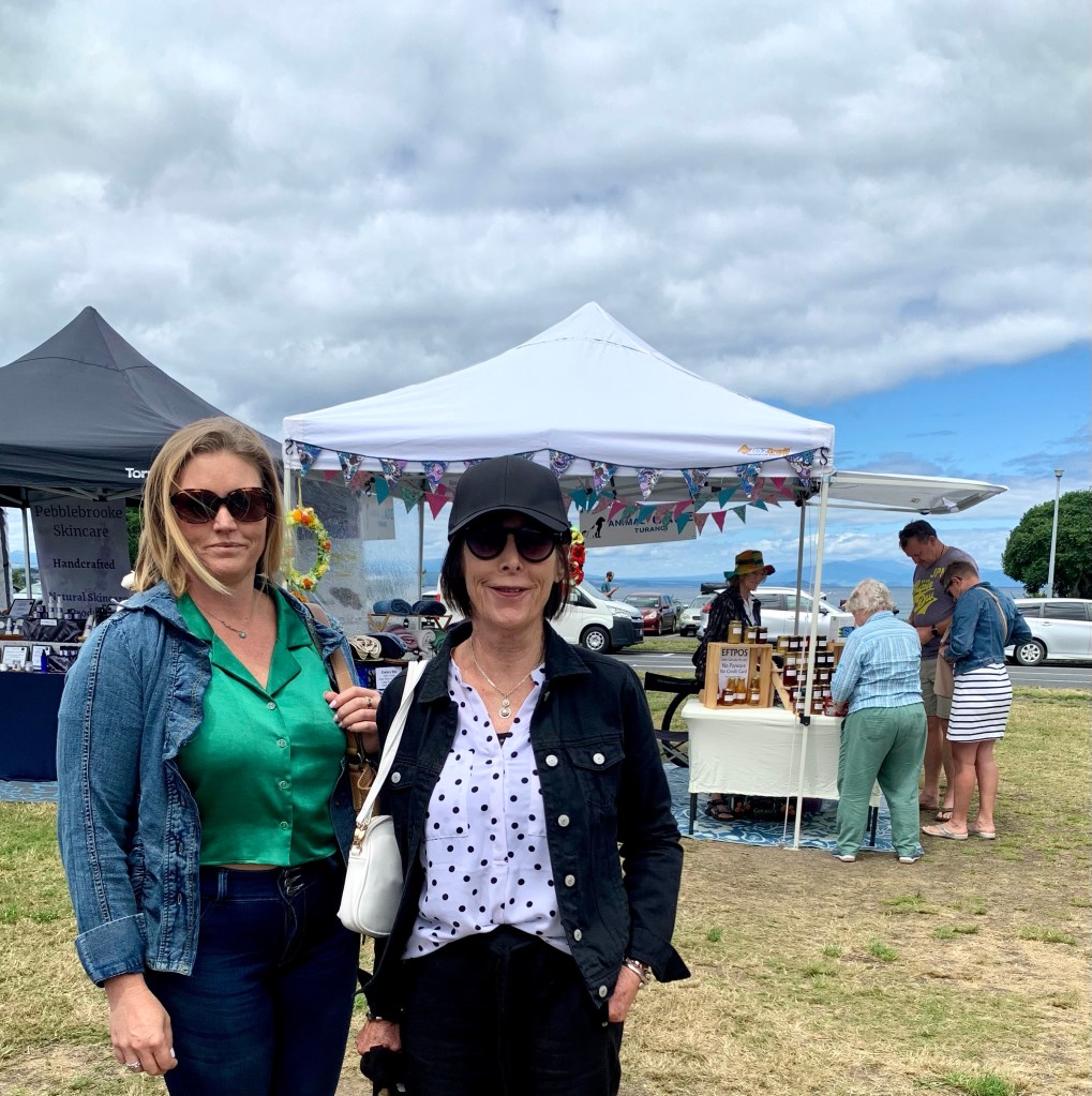
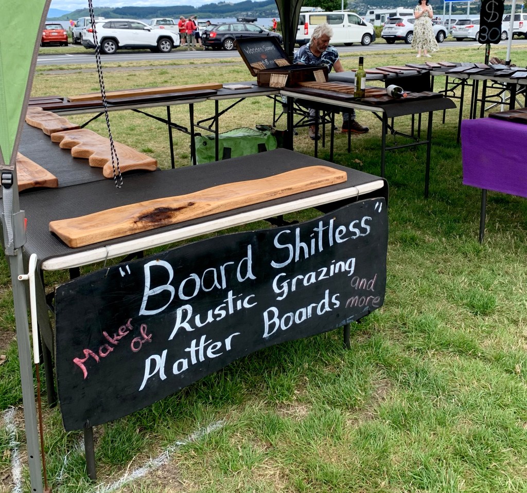
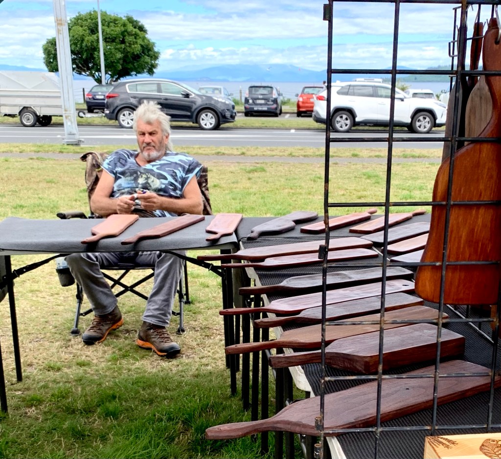
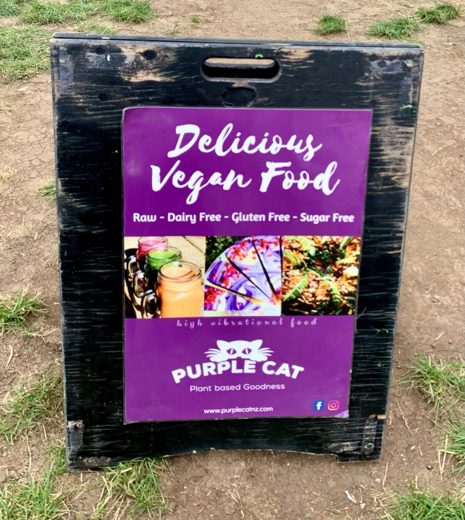
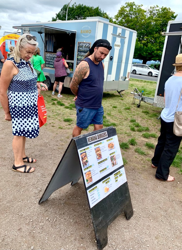
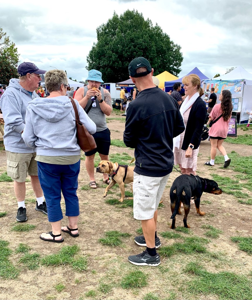
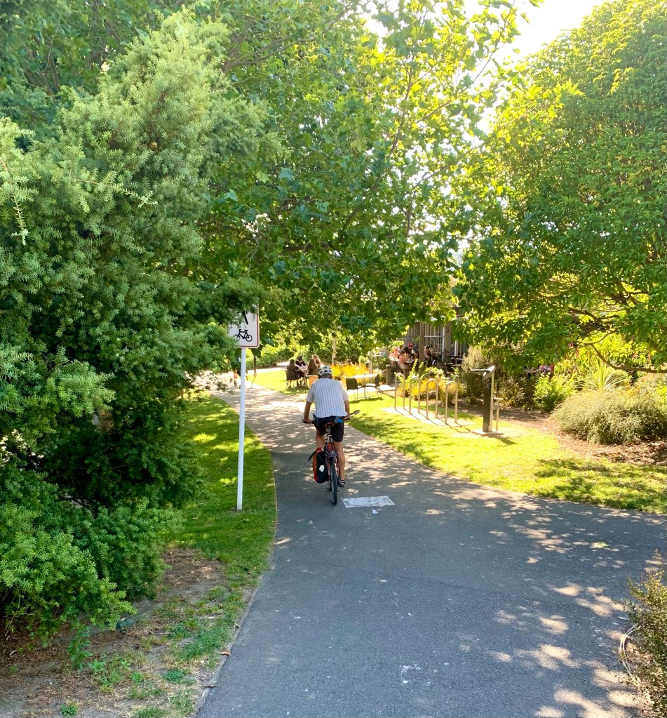
After breakfast Jackie, Kirsty and I went to have a look around the Sunday Market held in the Northcote Reserve in Central Taupō. There were lots of stalls selling crafts and other home-made products, as well as lots of food outlets. We wandered around the market for an hour or so looking at all the wares on sale. I am trying very hard not to buy anything that will add to our already-too-voluminous luggage so I walked away from the market with only a small bottle of lavender oil. There were many more other things at the market that I could very easily have bought but I somehow remained unwavering in the face of that temptation. (Perhaps it has something to do with having to explain any such purchases to Michael!)
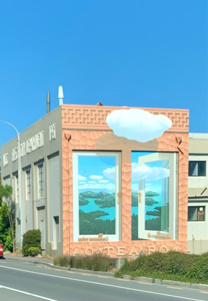
The English translation of the sign is the sentence at the bottom.
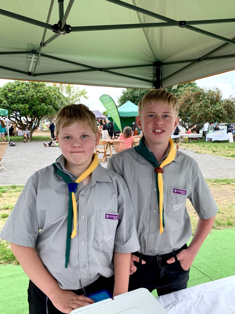
This enterprising and charming young man approached us with a very compelling pitch about buying fudge and then led us to to their stall where his mother told us that the fudge sales would enable a group of boys, including his two older brothers, to go on a week-long trip in April to attend the Jamboree. His smart salesmanship was even more impressive considering that he won’t be a direct beneficiary of a good outcome. We bought 3 packs of fudge for the worthy cause. Sheer altruism .. and maybe a chance to have a week of peace and being an only child for those few days?
The two older brother beneficiaries
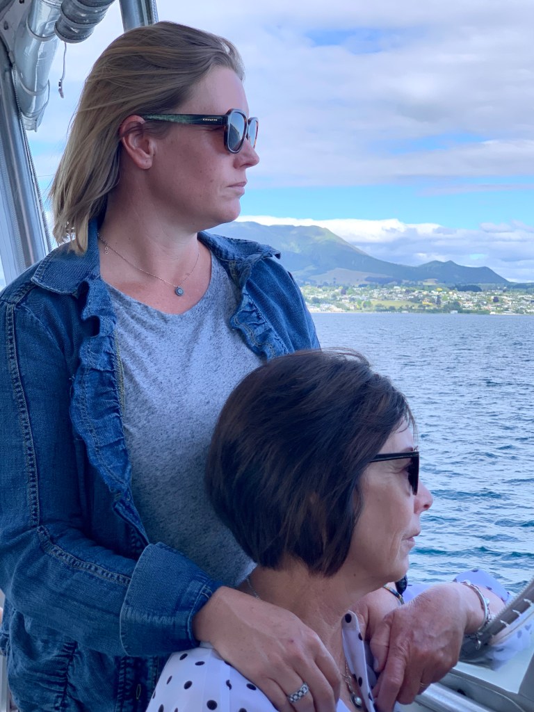
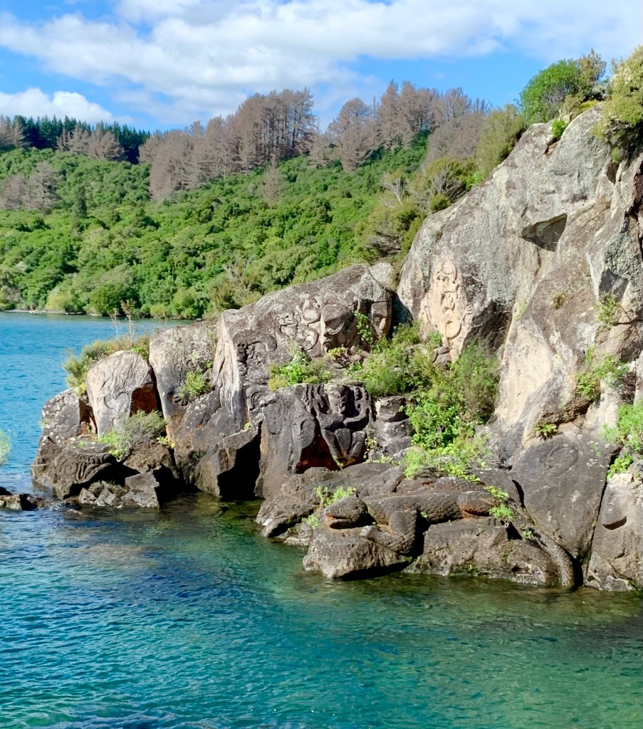
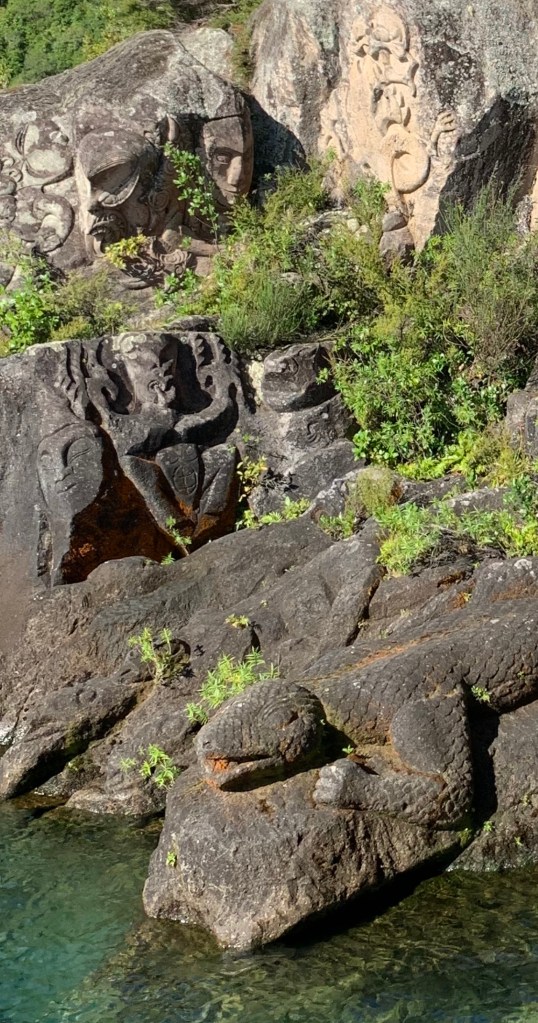
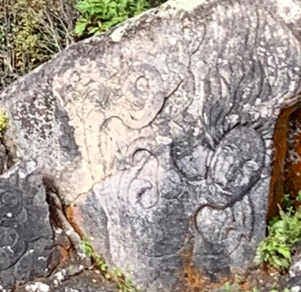
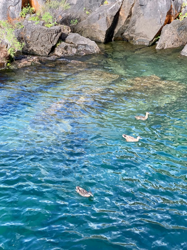
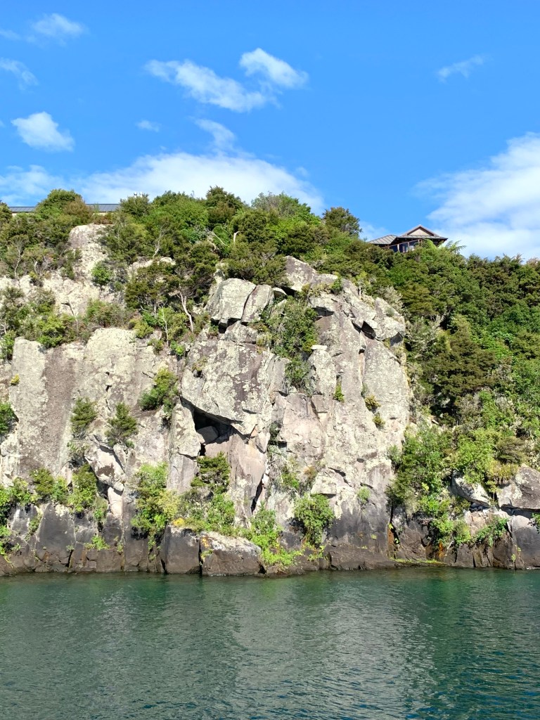
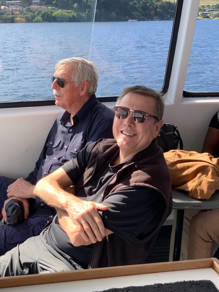
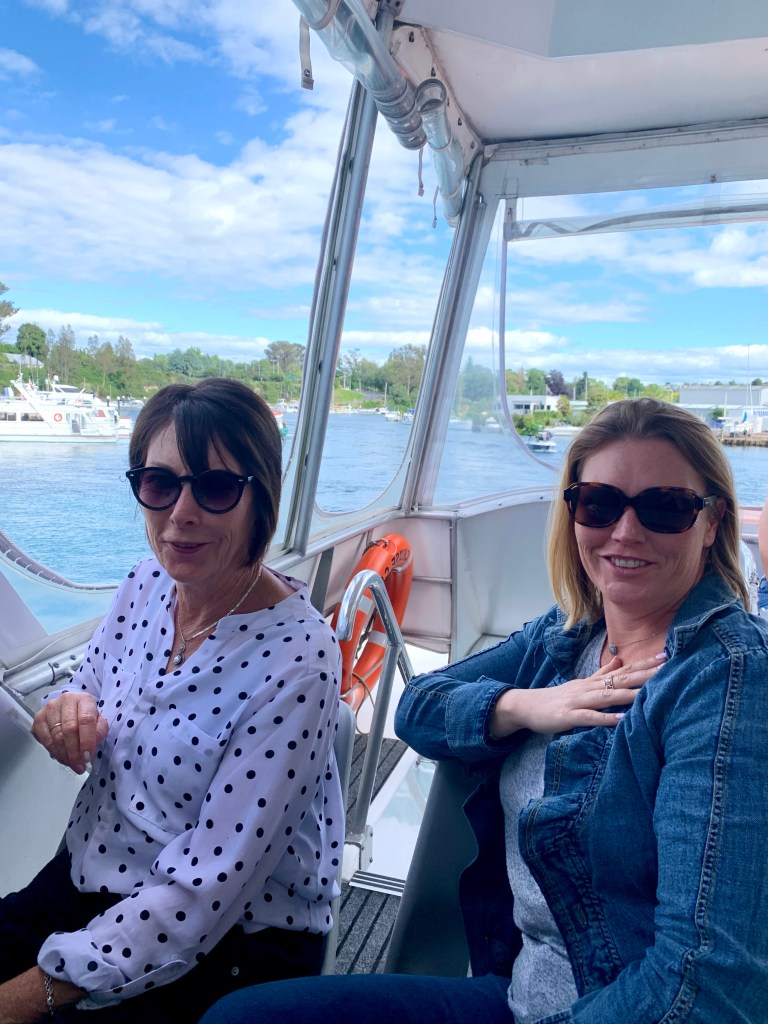
In the afternoon we all went on a boat trip on Lake Taupō to view the Māori carvings in Ngatoroirangi Mine Bay.
Water is the driving force of all Nature. – Leonardo da Vinci
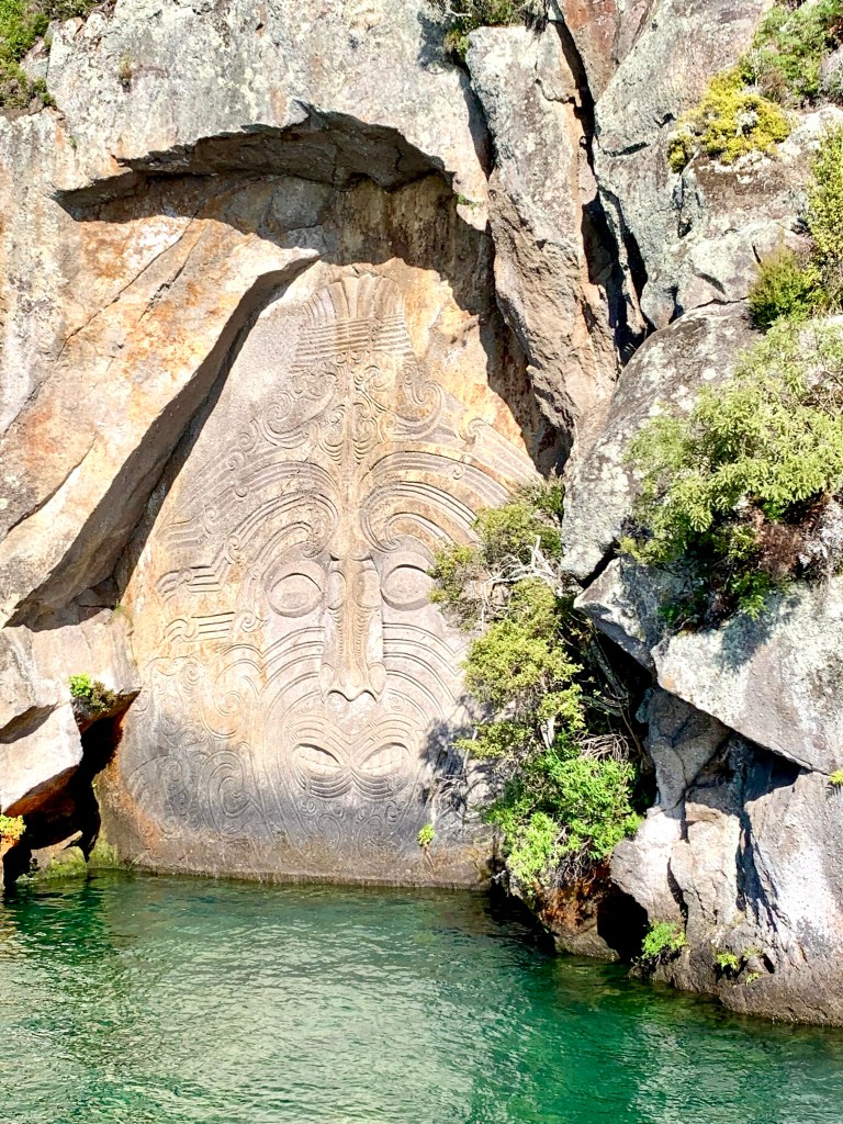
In 1976 a traditional Māori carver paddled past a 14 metre high flat rock in an alcove in the rocks alongside the lake and thought it would be the ideal canvas for a carved likeness of the tattooed face of his grandmother’s ancestor, Ngatoroirangi. The unusual carving was sculpted over four years by a team of 4 carvers and was left in its current almost finished condition in 1980. There are plans to complete it this summer, providing that the rock face is stable enough for the work to be done.
The carved image of Ngatoroirangi
Surrounding Ngatoroirangi are smaller carvings which depict tupuna (ancestors) and kaitiaki (guardians) that are pivotal to the history of the local Māori.
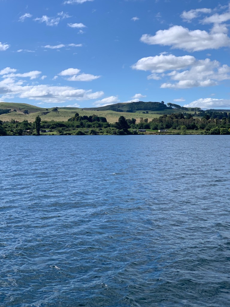
All too soon we were heading back to our starting point. The boat trip helped to give us a better idea of just how huge this lake is! A series of cataclysmic eruptions at Taupō and other nearby volcanoes some 1,800 years ago created the large collapsed volcano (caldera) that the lake now occupies. It covers the remains of several volcanic craters, notably those of the dormant Taupō volcano in the northeastern portion of the lake, and it has a depth of about 160 metres at its deepest point.
Back on land. Such clear water! Almost the end of another lovely day.
If there is magic in this planet, it is contained in water – Loren Eiseley
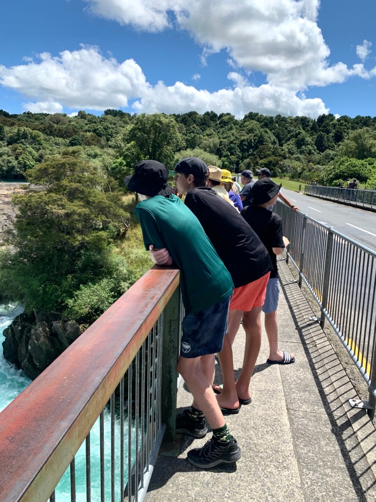
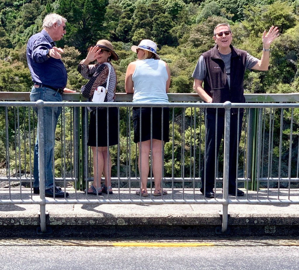
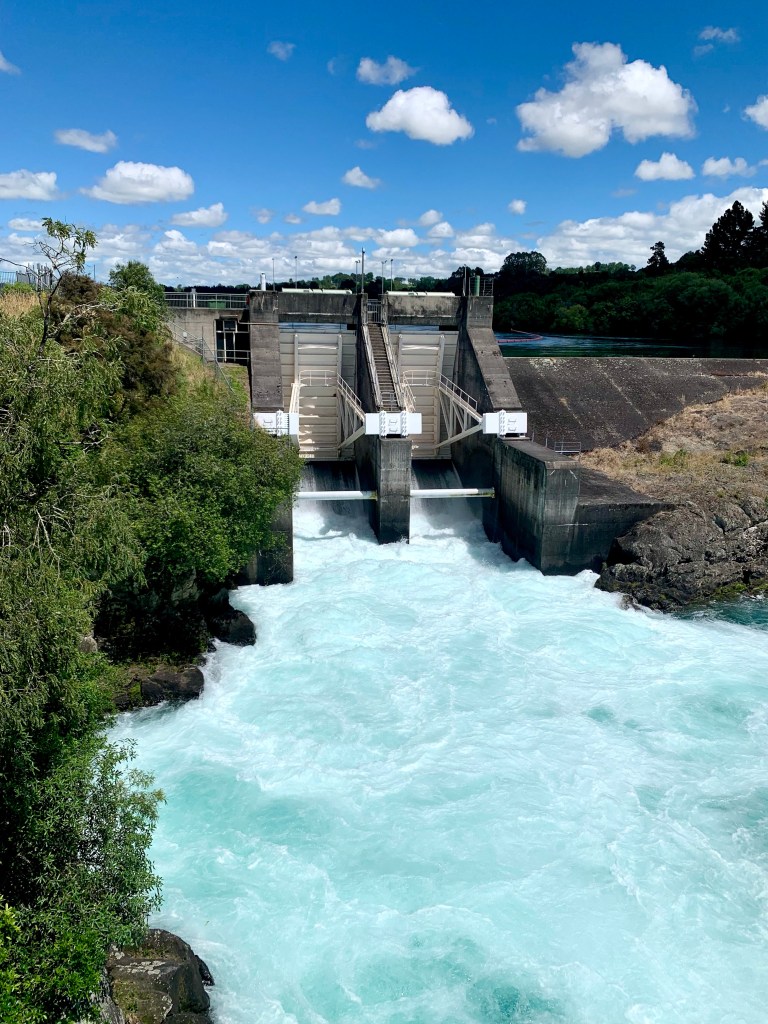
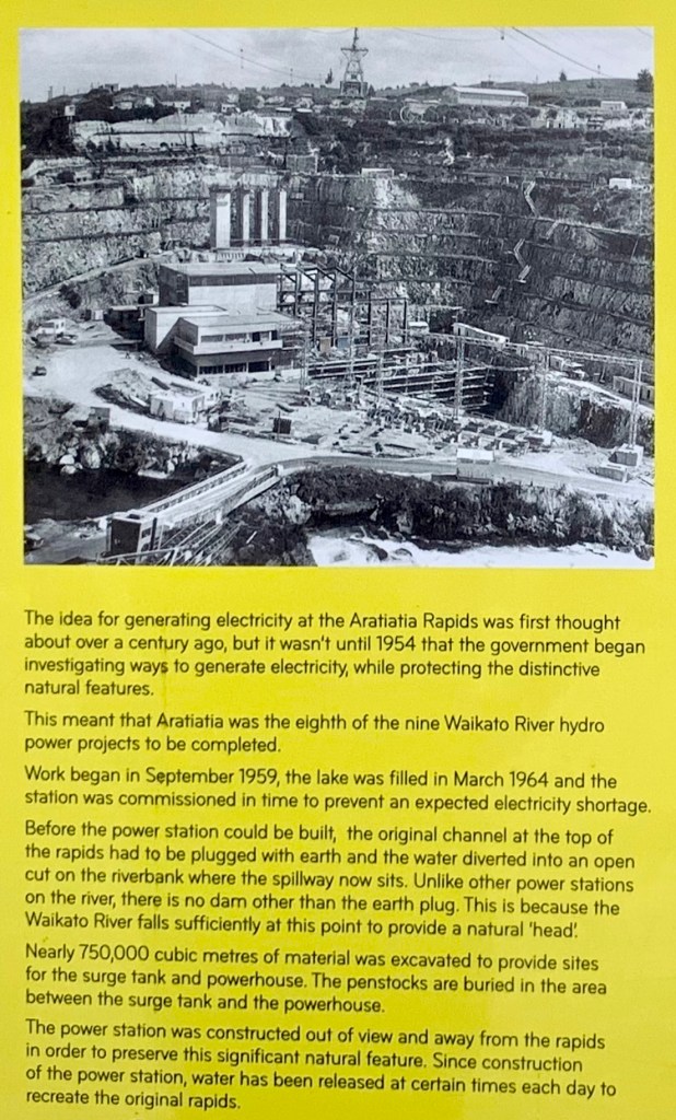
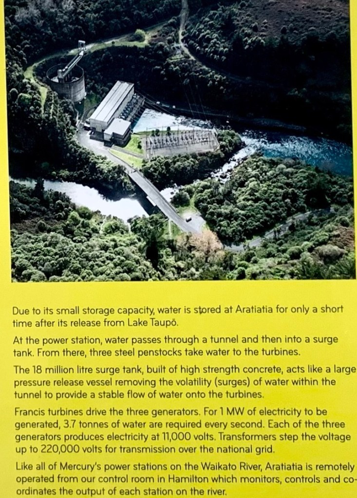
We started the day with a spectacular demonstration of the magnificence and power of water at the Aratiatia Dam and Rapids downstream of Lake Taupō on the Waikato River and about 16km from Taupō’s town centre.
Peter and Jackie took us to watch the opening of the dam that transforms a tranquil pool into a foaming, seething mass of agitated water rushing to escape down a narrow channel into the rapids below. The dam opens several times a day to release water from the dam that then falls 28 metres in the space of one kilometre to fill the rapids. The surging rapids have been harnessed to produce environmentally sustainable hydroelectric power.
Before
On the other side of the bridge are the huge gates that are opened to release the water and it’s obviously a sight that is popular with locals and tourists because quite a few people turned up to watch it.
The transformation begins …
Many a calm river begins as a turbulent waterfall, yet none hurtles and foams all the way to the sea. – Mikhail Lermontov
The background story:
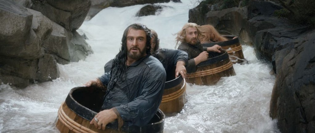
Fun fact: one of the most memorable and exciting scenes in Peter Jackson’s 2013 movie, The Hobbit: The Desolation of Smaug, is when the dwarves escape from the captivity of the Elves by hiding in barrels which were thrown down into the stream. For two days the film crew dropped 20 to 25 empty barrels down the rapids every time there was a dam release. (A local company retrieved the barrels safely each time.)
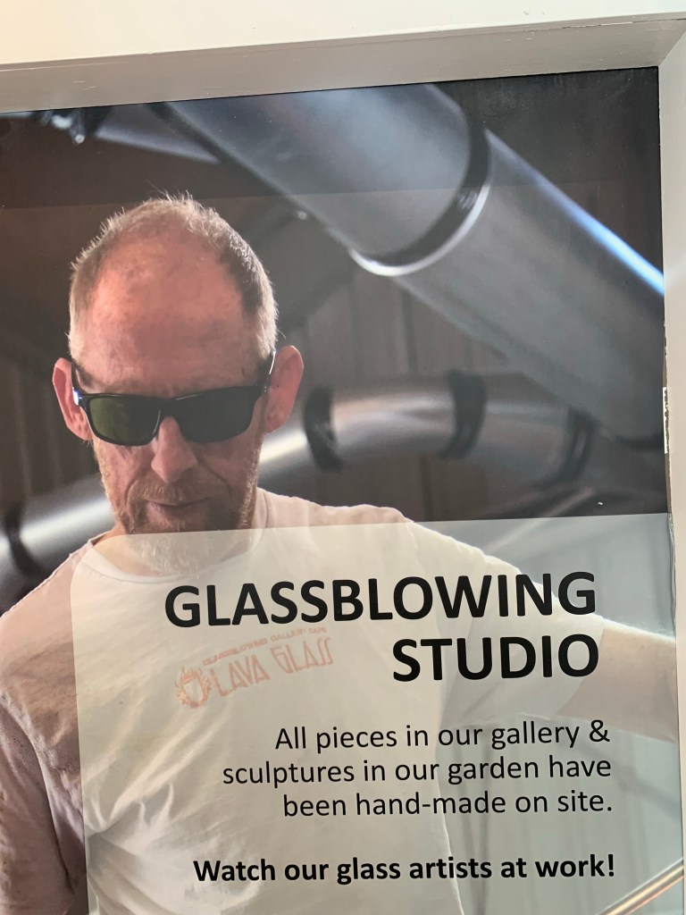
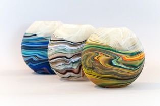
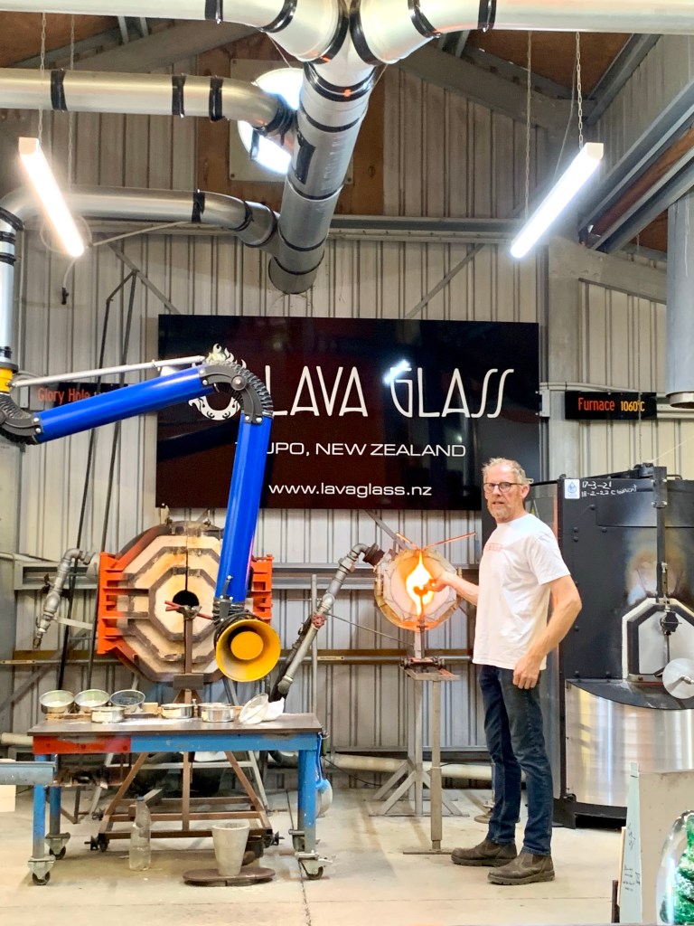
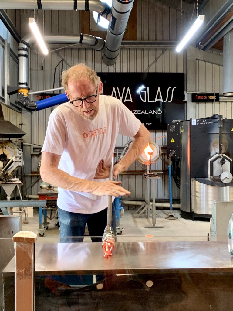
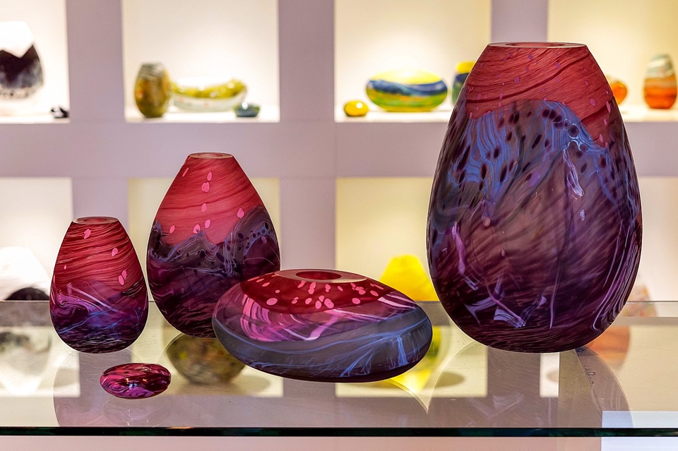
After that exhilarating sight, we went to see, in contrast, a very controlled, calm and steady process at a company called Lava Glass where they blow and mound molten glass to create attractive (and quite pricey) decorative pieces and jewellery.
It was fascinating to watch the master glassmaker, Lynden Over, the gallery’s founder and resident artist, at work. He made it all look so easy which is a tribute to his considerable skill and experience gained over 25 years of working with liquid glass. Each original piece of glass art made in the studio by Lynden or one of his skilled glass workers is inspired by New Zealand’s stunning scenery and landscapes.
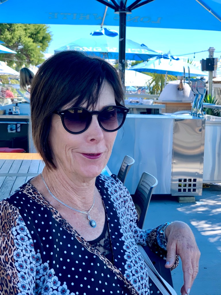
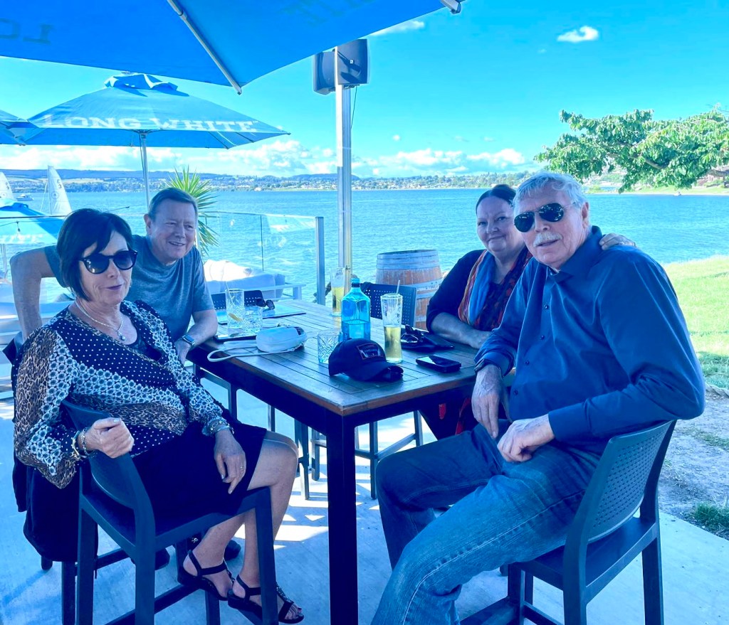
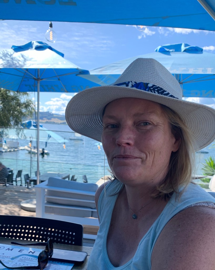
Later in the afternoon, we went for a pre-dinner to a lovely cafe bar called Two Mile Bay Sailing Club that has a glorious location right on the edge of Lake Taupō.
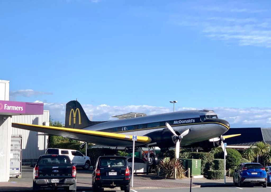
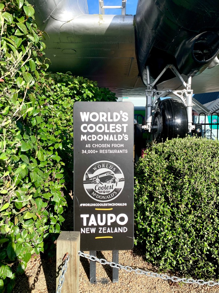
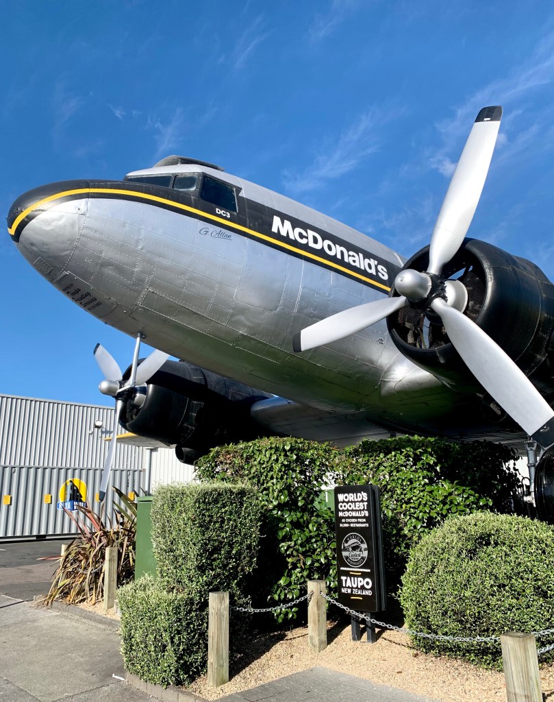
Across the road from where we went for dinner later was this very unusual McDonald’s that incorporates a Dakota (DC3.) I can just imagine how excited our four-year-old grandson, Ollie, would be to go to this McDonald’s!
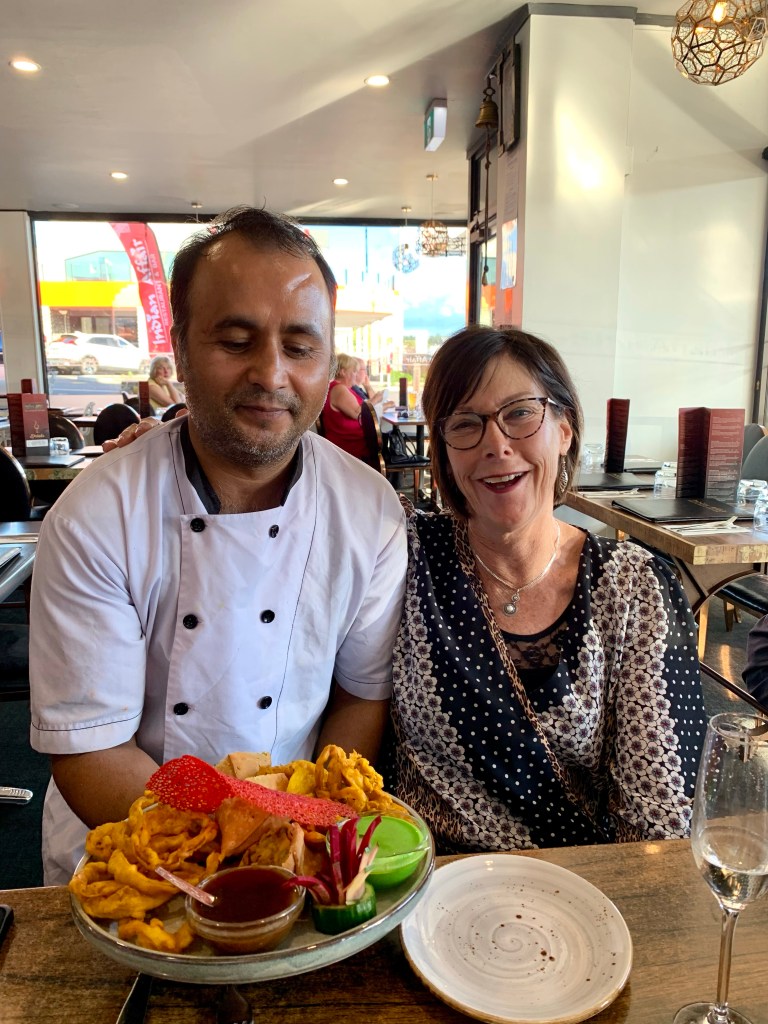
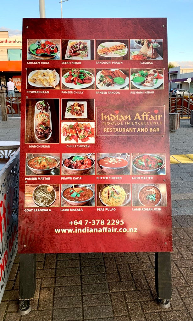
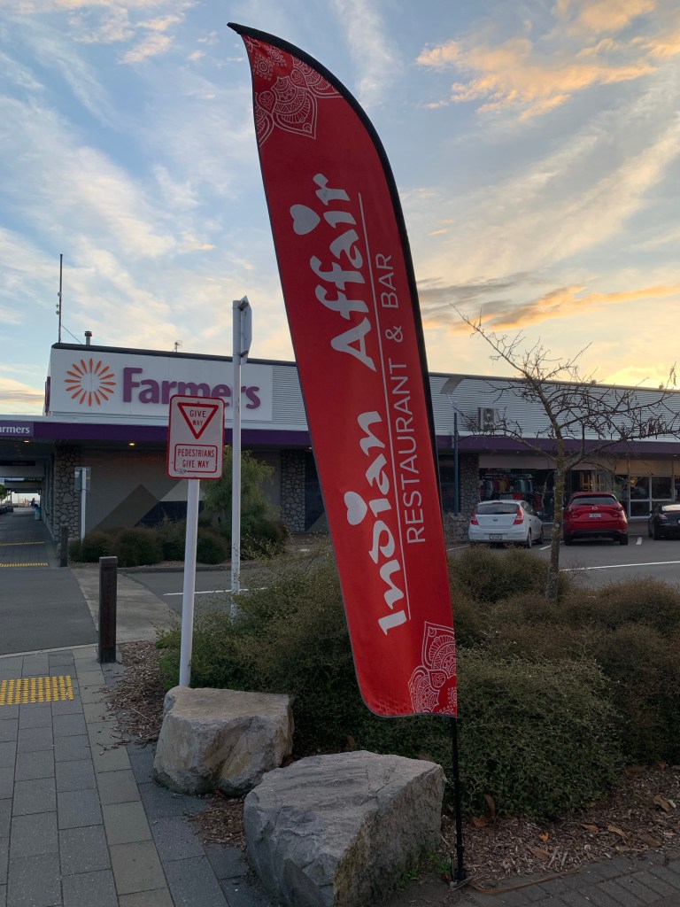
We had dinner at an Indian restaurant in Taupō where the Nepali chef is one of Jackie’s past language students, Ram Prasad. He was thrilled to see her and to tell her what has happened in his life since they last met.
We had a very nice meal and it was a very good way to end another delightful day with the New Zealand Moffats.
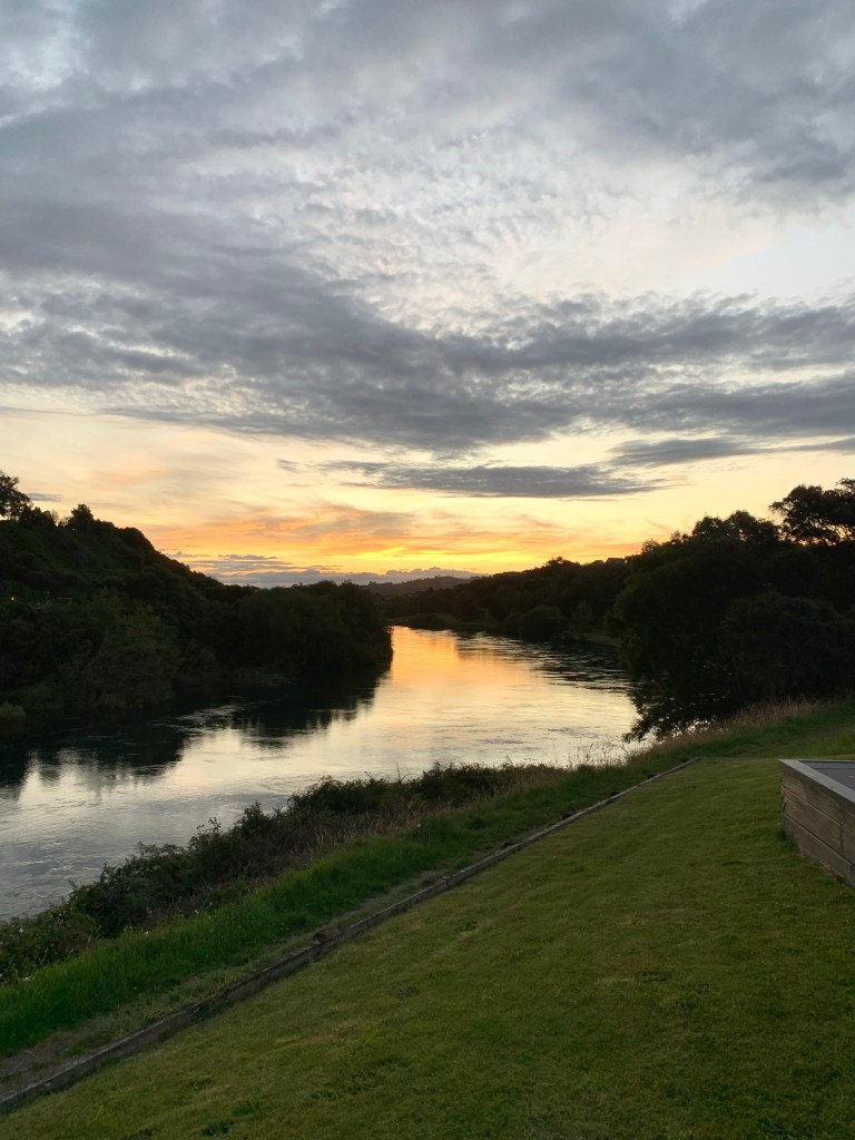
Then it was home where we were just in time to witness a beautiful sunset from Jackie and Peter’s verandah that overlooks the river.
The river has great wisdom and whispers it’s secrets to the hearts of men – Mark Twain
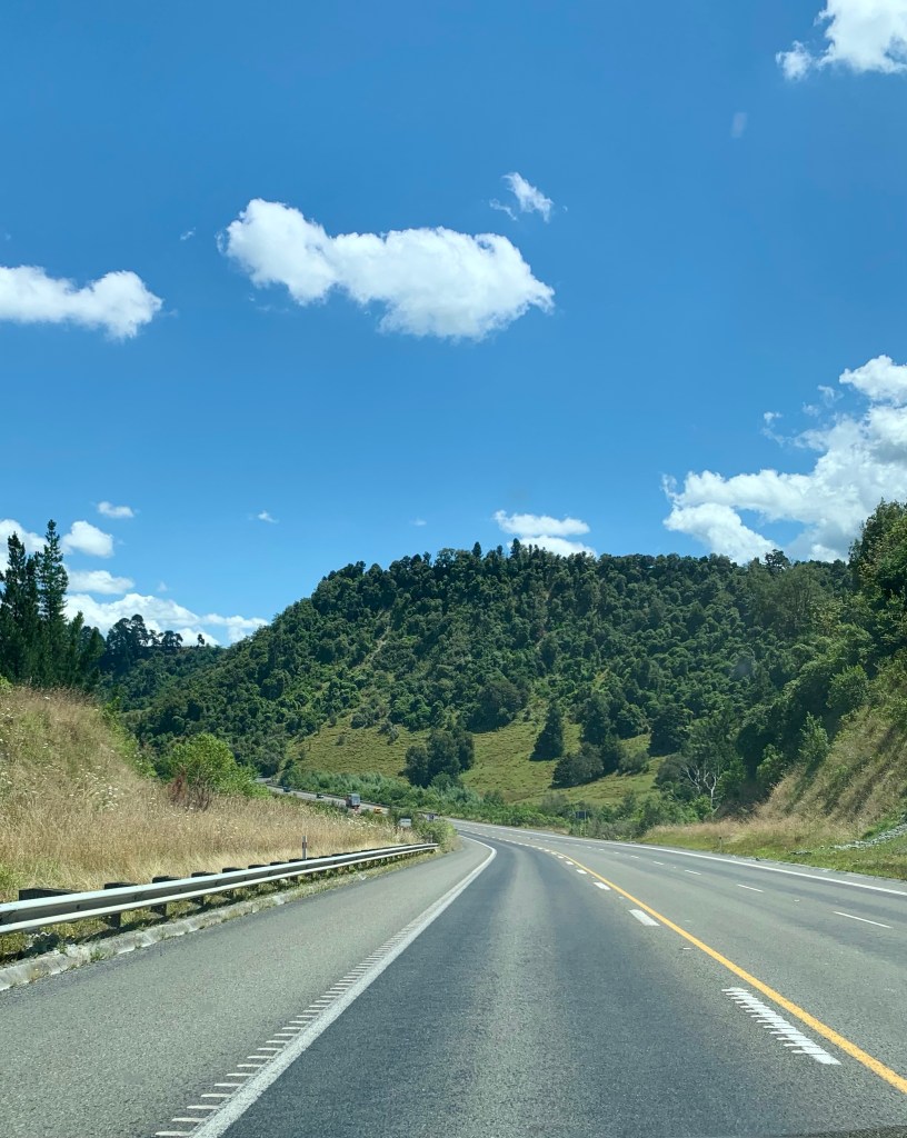
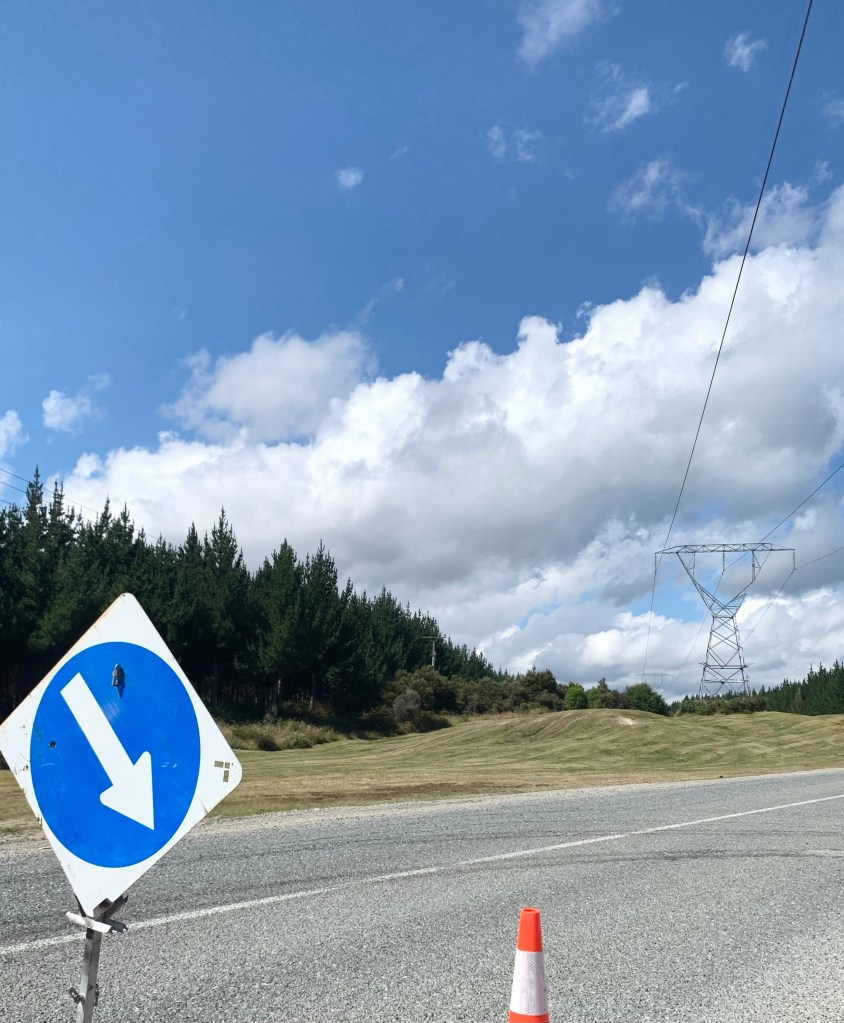
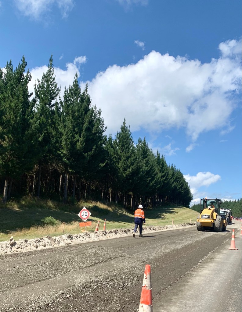
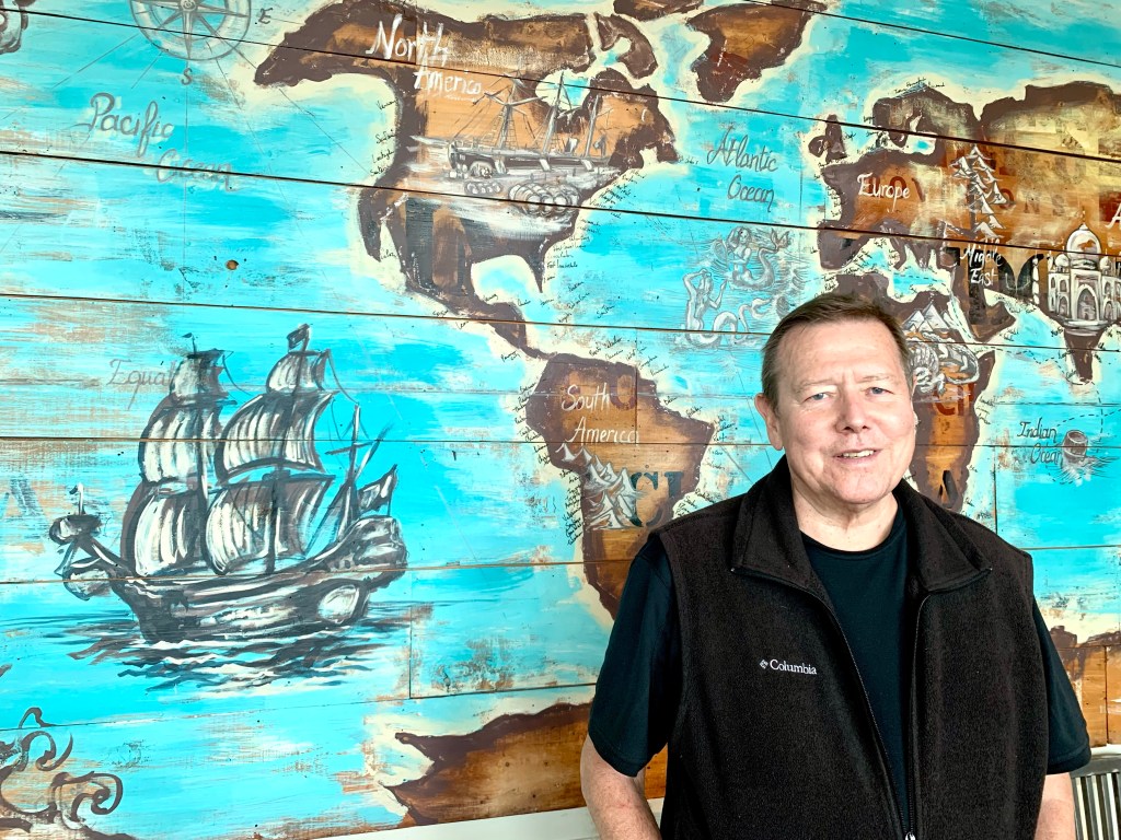
We were on the road again today. We left Taupō at about 10.30am headed for Wellington where we’ll stay overnight before getting the Interislander ferry to the South Island. The distance between Taupō and Wellington is about 383km on State Highway 1, with an approximate driving time of 5 hours.
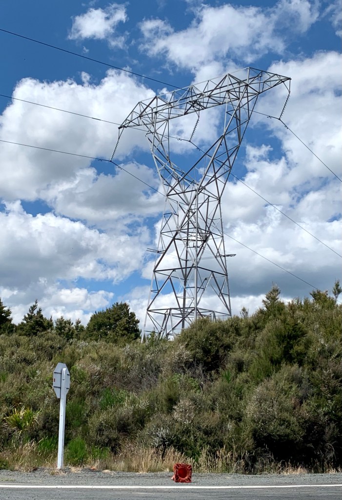
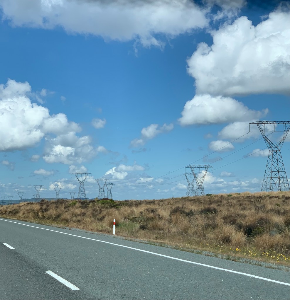
Following the striding giants down south
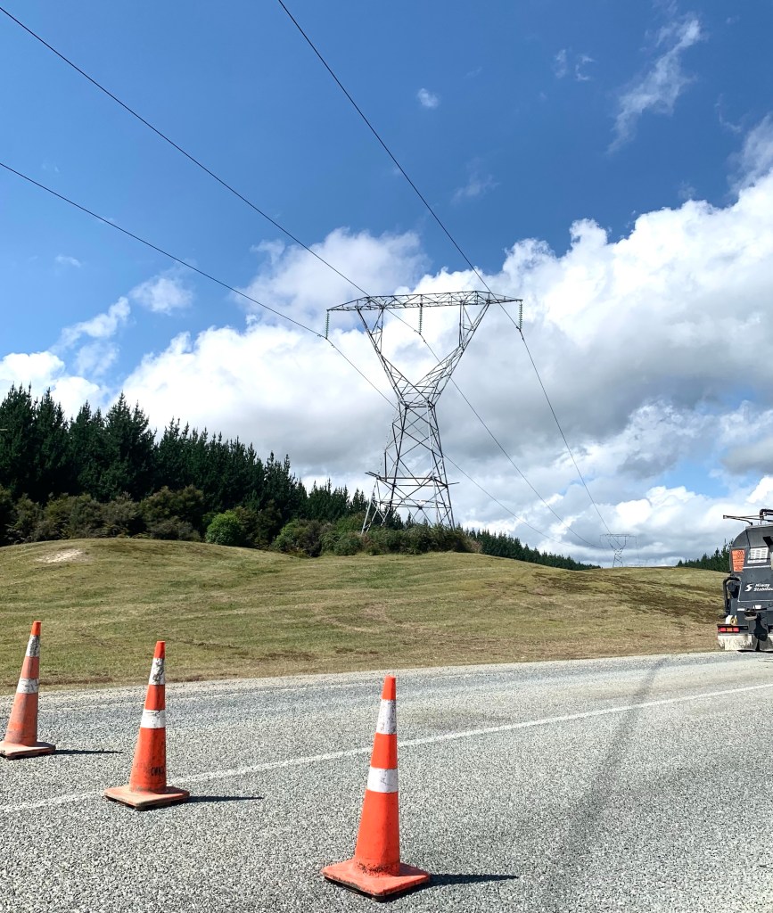
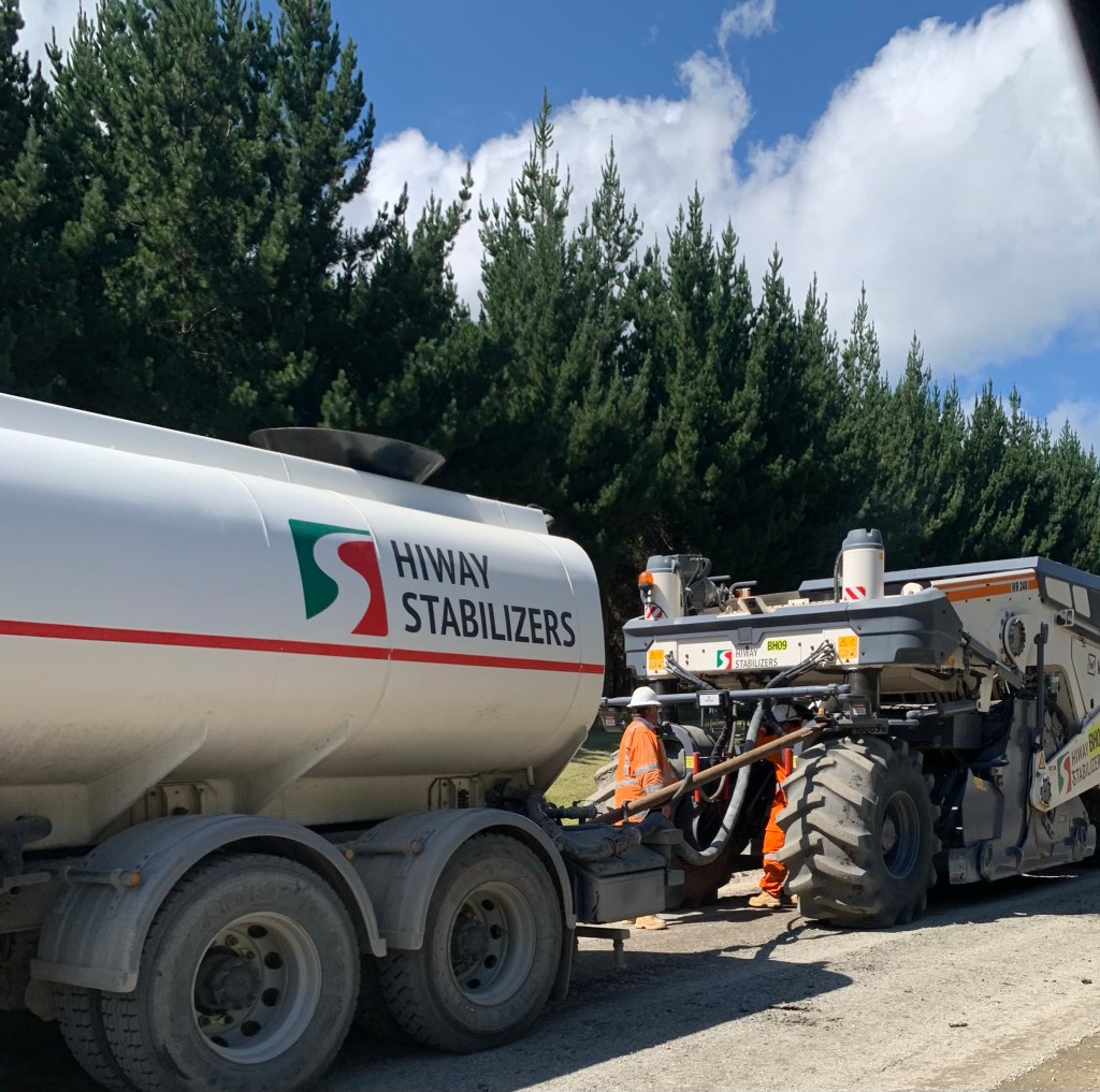
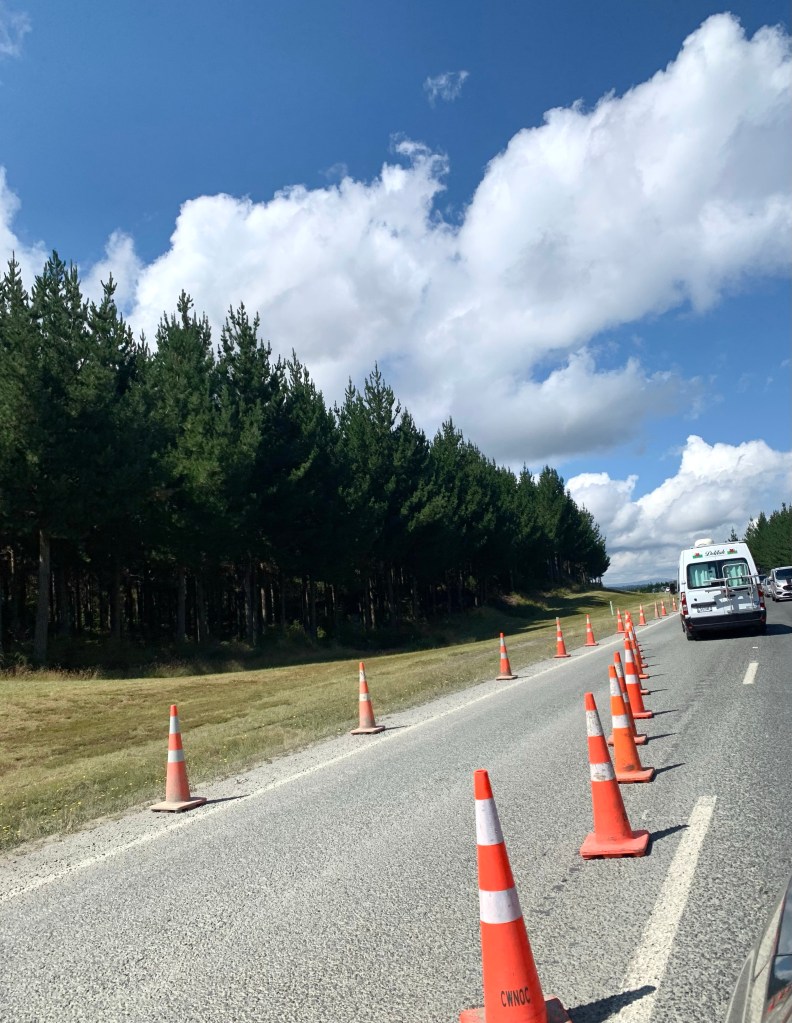
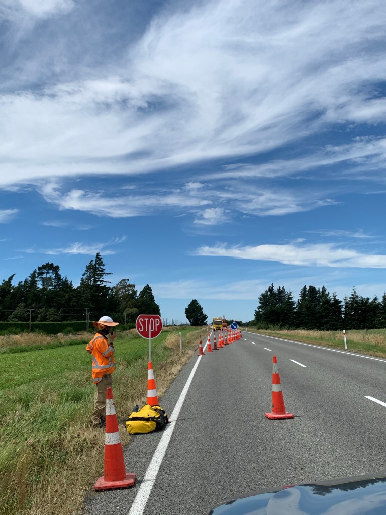
We did encounter some road works as anticipated but it wasn’t too bad and we were not much delayed by it.
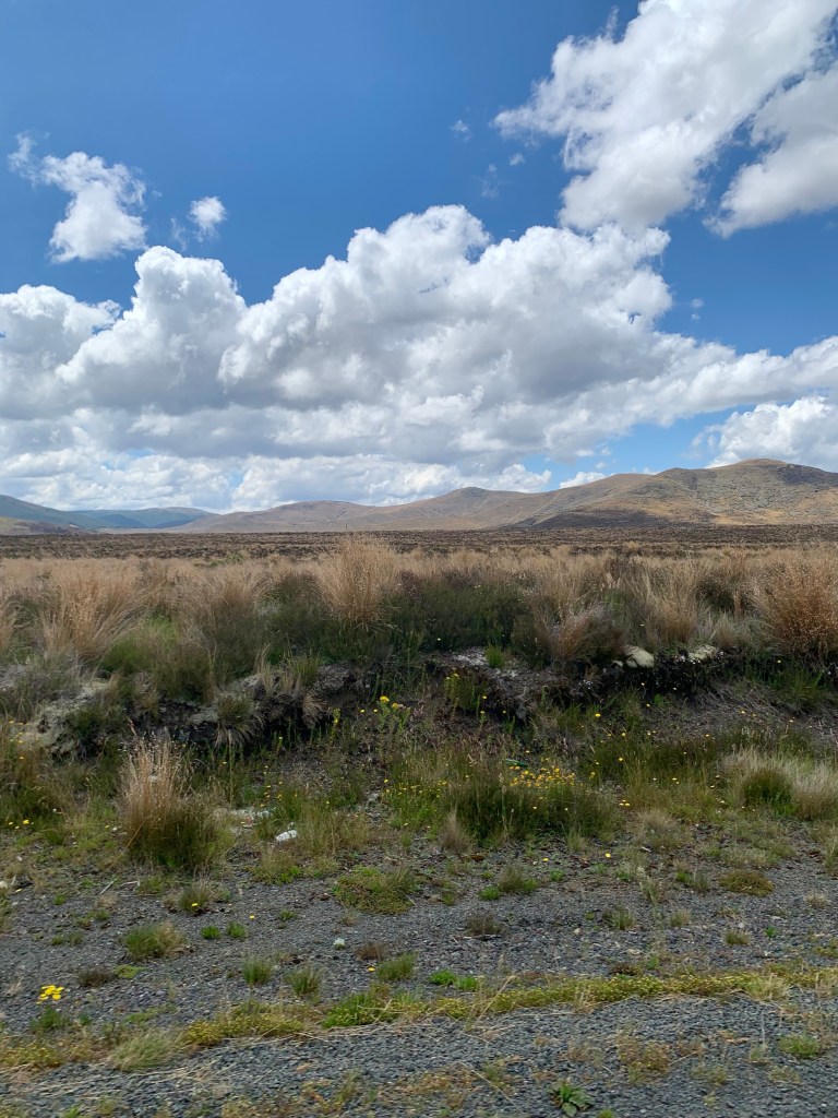
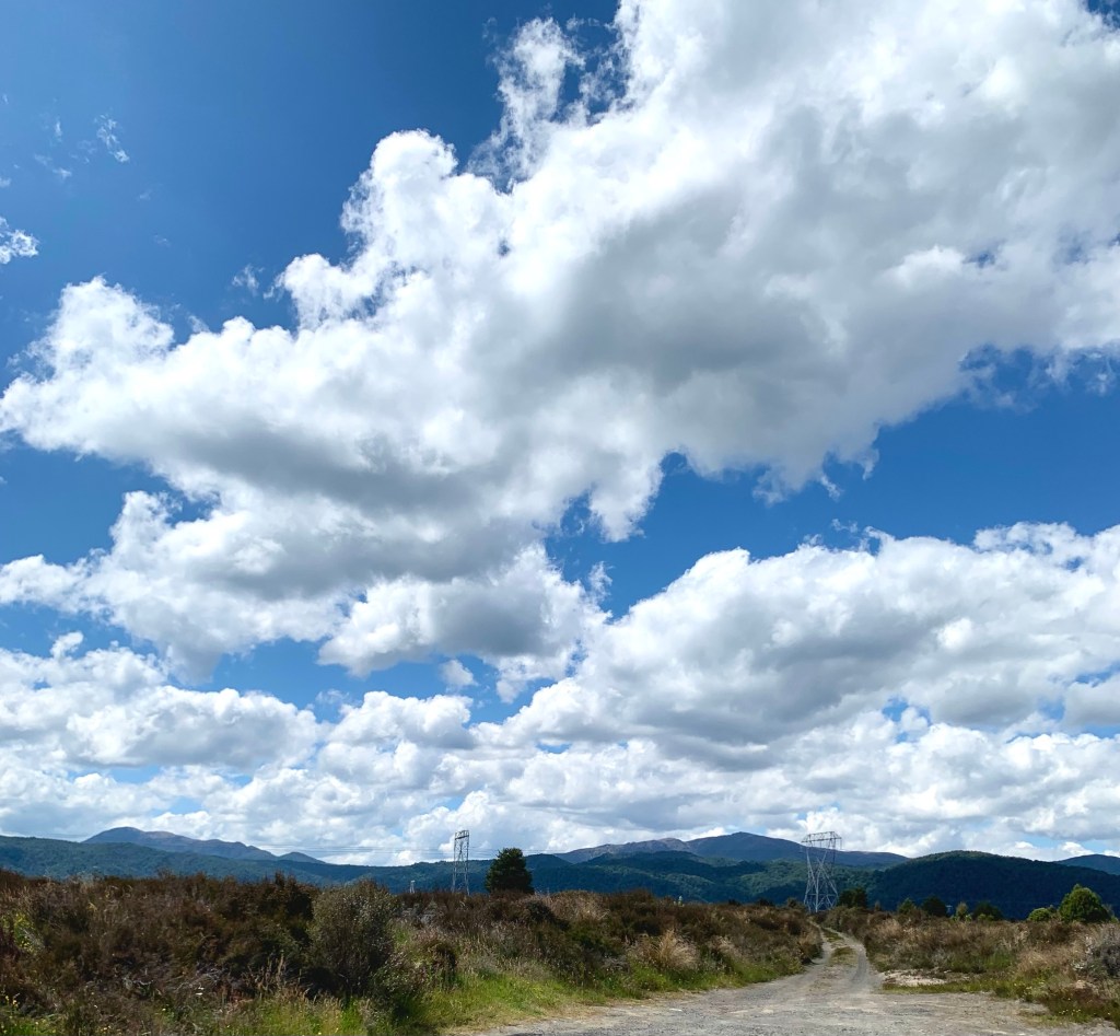
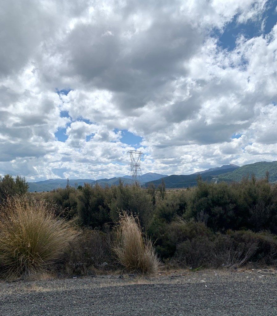
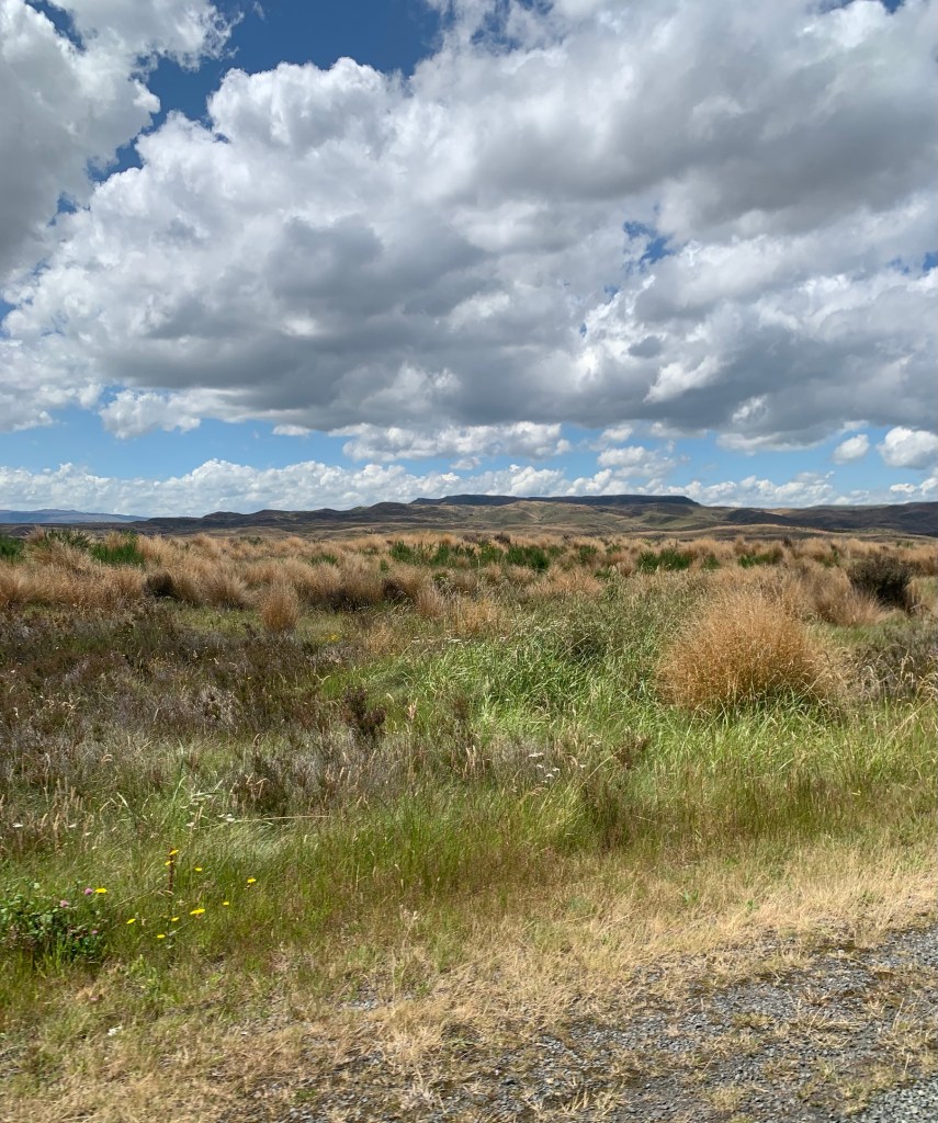
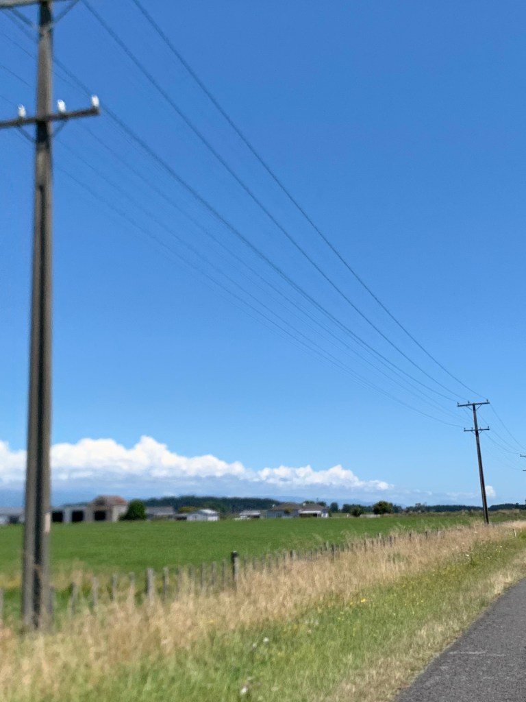
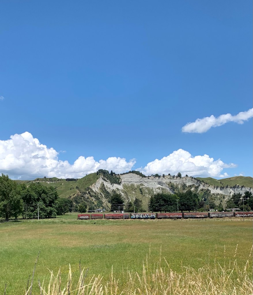
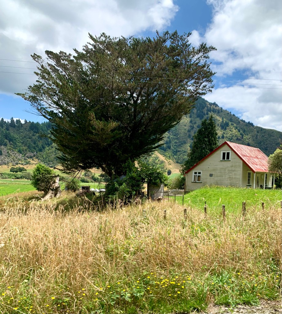
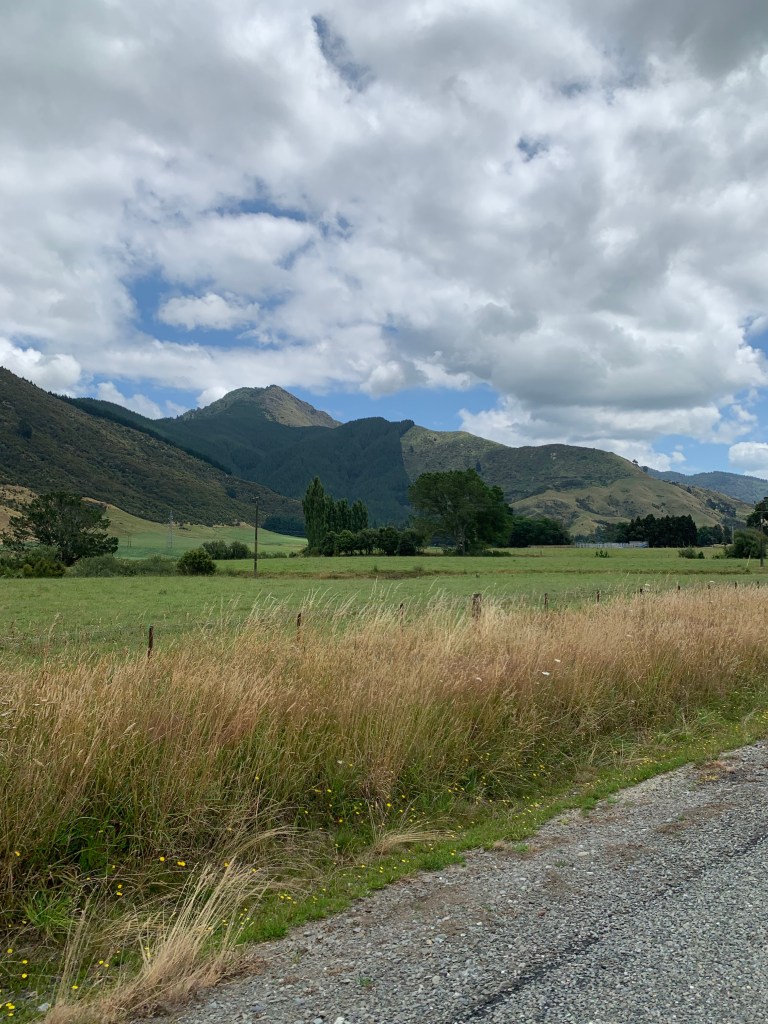
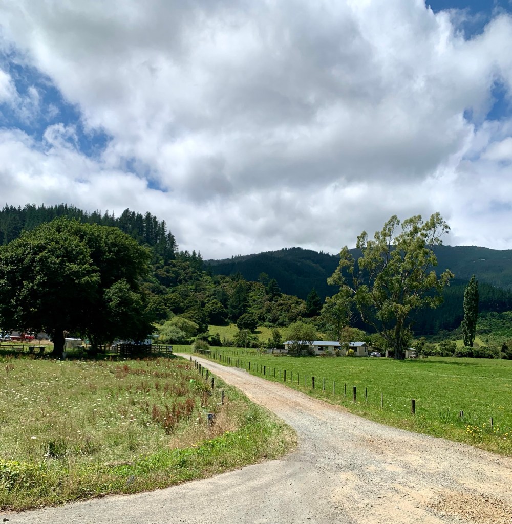
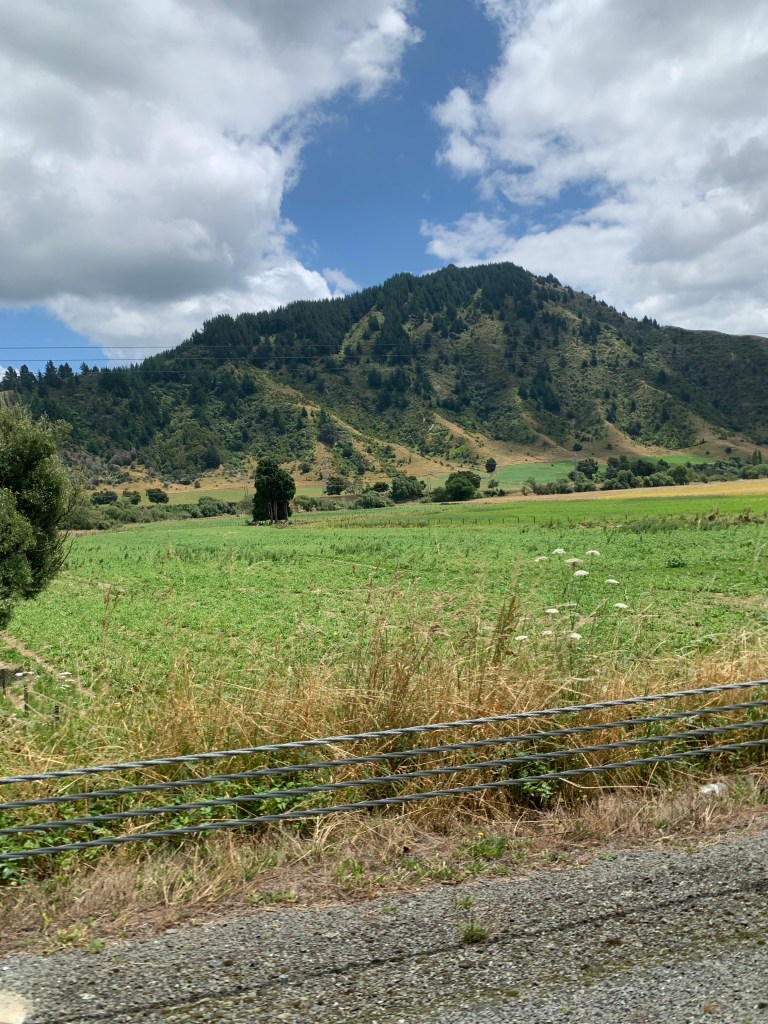
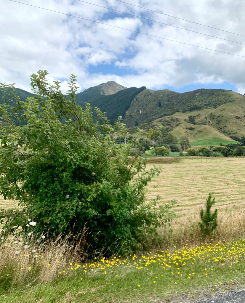
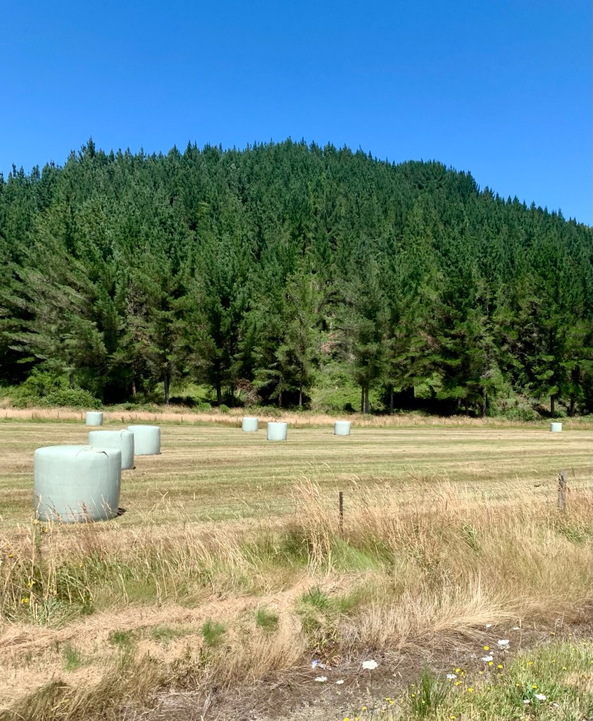
The countryside between Taupō and Wellington varies quite a lot, with some flat and some quite hilly sections. The scenery alternates between forested sections and agricultural land planted with crops like maize or providing grazing for sheep and cattle. The constant being the magnificent cloud formations in the blue, blue sky.
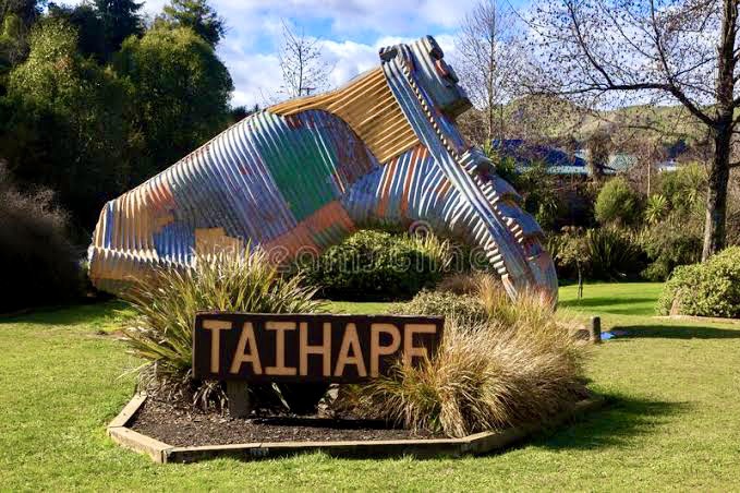
On Peter’s recommendation, we stopped for lunch at a small town called Taihape in the Rangitikei District with a population of about 1,800 people. The town was founded in 1894. Bizarrely enough, the town is renowned for gumboot throwing. I didn’t know that was a thing and I’m still not sure that it is! Apparently gumboot throwing began as a annual competition in 1985 but is available as an activity all year round. Needless to say, we decided to forgo this particular local activity.
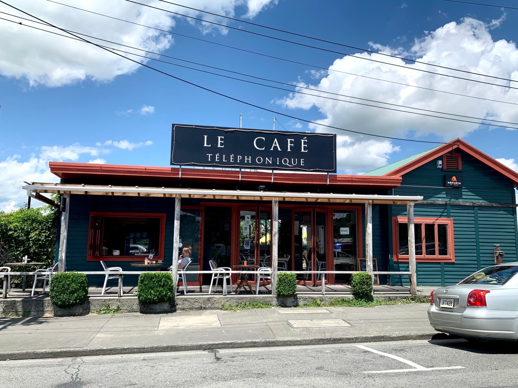
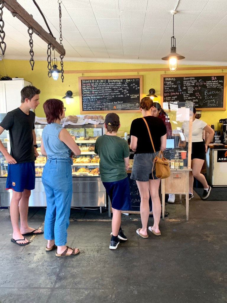
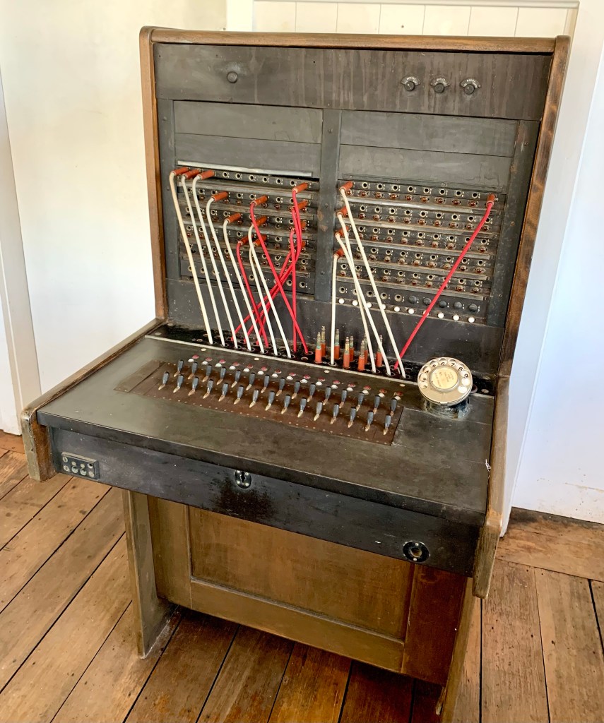
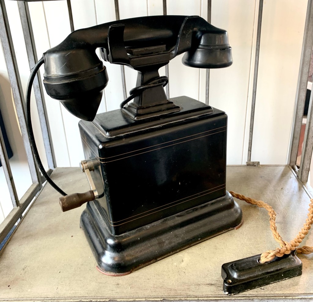
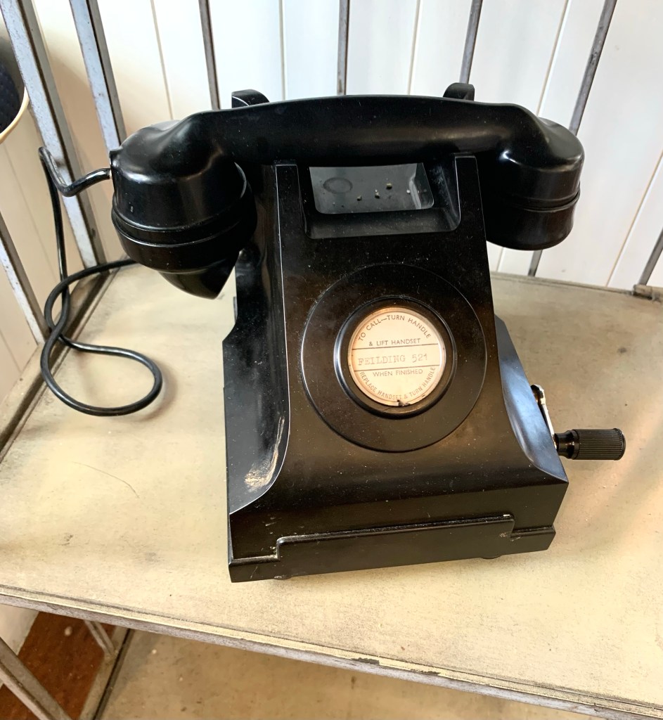
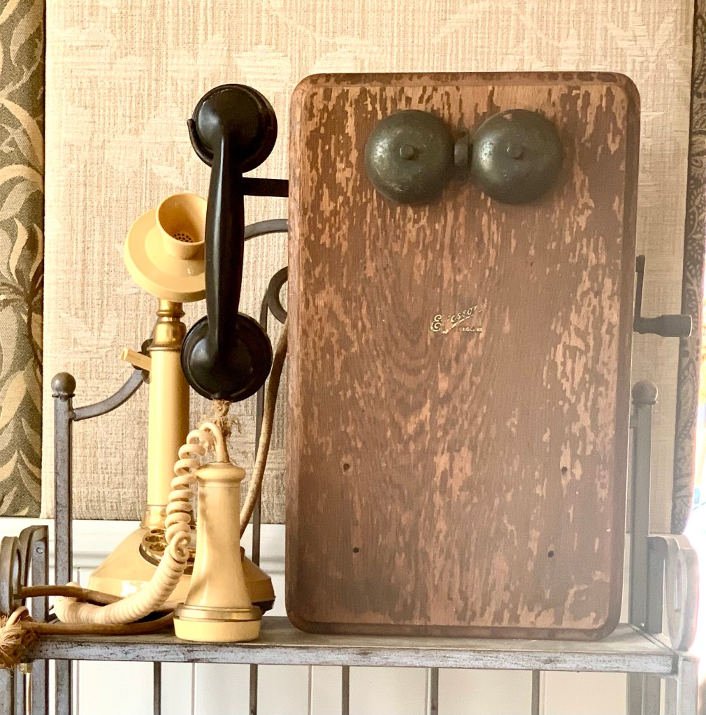
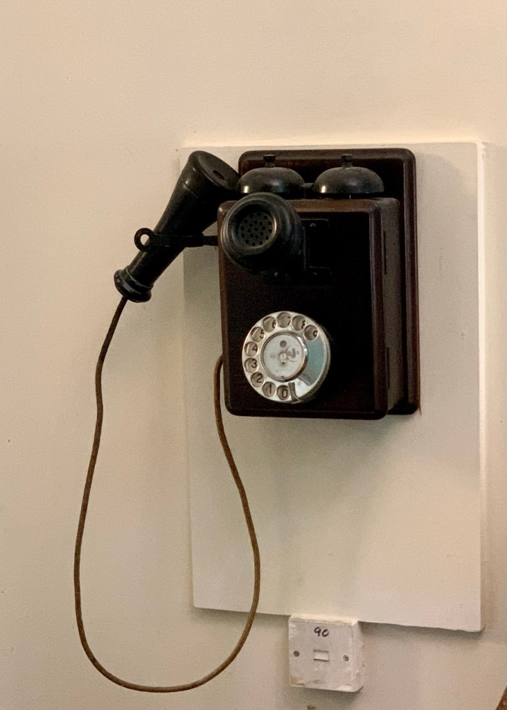
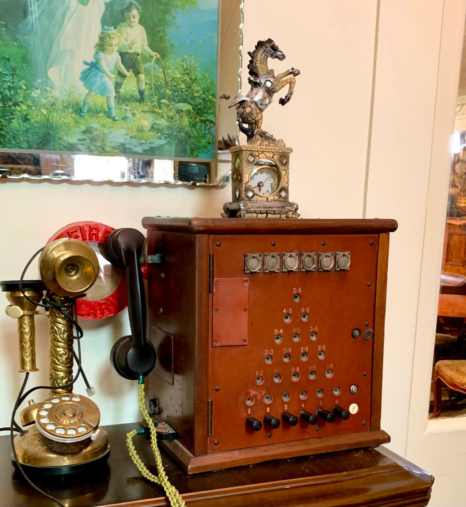
For such a small town, it has a lot of coffee shops so it is obviously a popular refreshment stop on the journey to and from Wellington. We decided on one that Peter had recommended called Le Café Telephonique which occupies the building that was once the town’s telephone exchange and it has some old telephone memorabilia on display. It turned out to be a very good choice because the food was excellent.
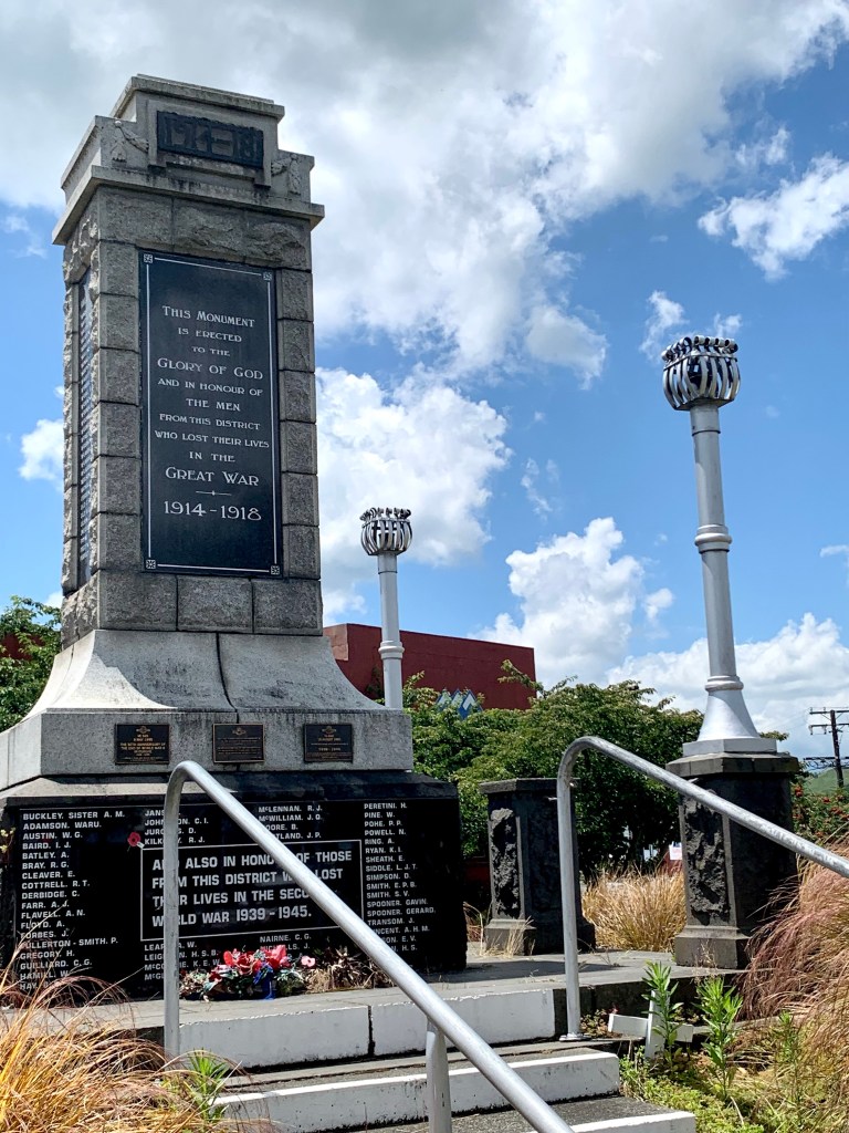
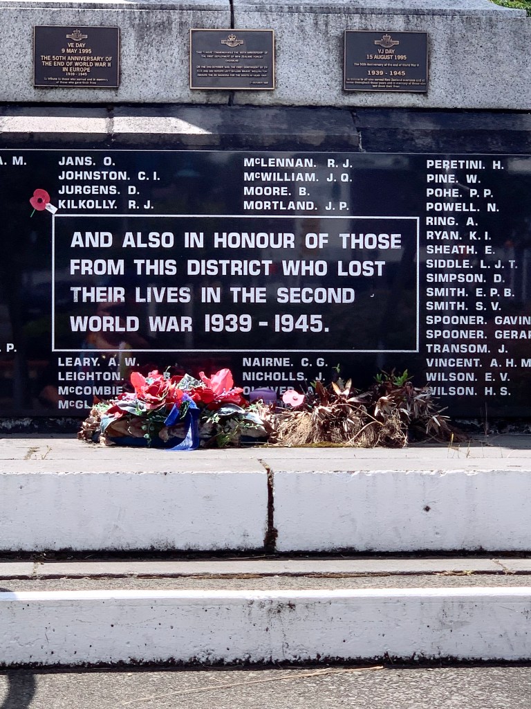
New Zealand lost a tremendous number of its citizens in both the World Wars. Around 18,000 New Zealanders died in or because of the First World War and about 41,000 men were listed as wounded. More than 2700 died at Gallipoli at and almost 12,500 on the Western Front. A total of about 105,000 men and women from New Zealand served overseas during the Second World War. Of those nearly 7000 died on active Army service and a total of over 11,000 in all services. Nearly 16,000 were wounded as well.
They shall grow not old, as we that are left grow old; Age shall not weary them, nor the years condemn. At the going down of the sun and in the morning We will remember them – Laurence Binyon The Fallen
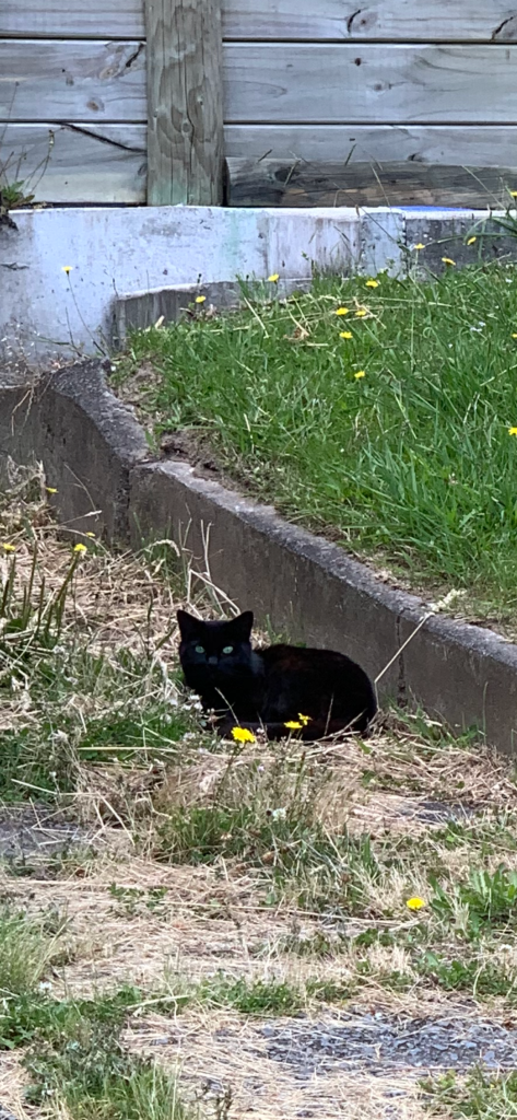
Green-eyed sweetie
We arrived in Wellington at about 4.30pm and checked into the hotel, feeling a bit tired. We went across the road to get a bite to eat at about 6.30pm and plan on having an earlier night than usual because we have an early start tomorrow morning to get the ferry.
Time and tide wait for no man. – Geoffrey Chaucer, Prologue to the Clerk’s Tale, 1395
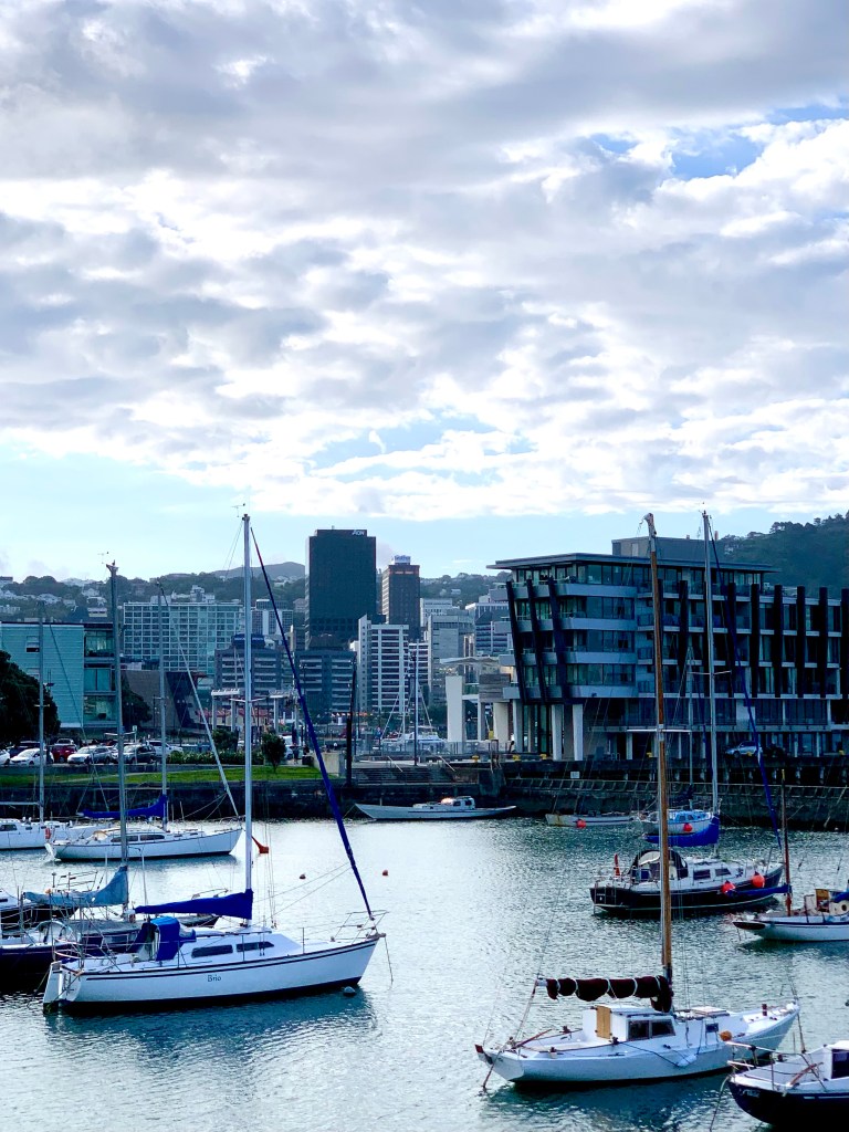
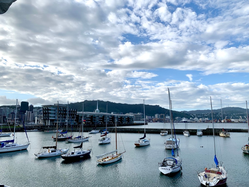
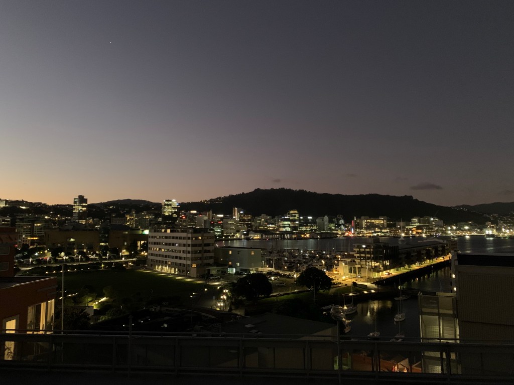
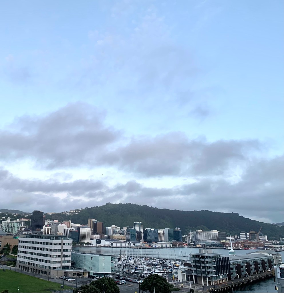
The view of Wellington from our hotel window this morning
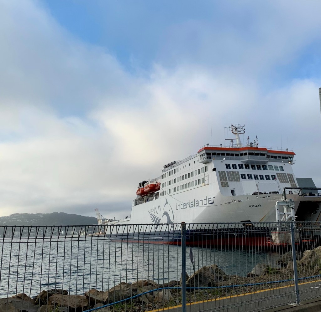
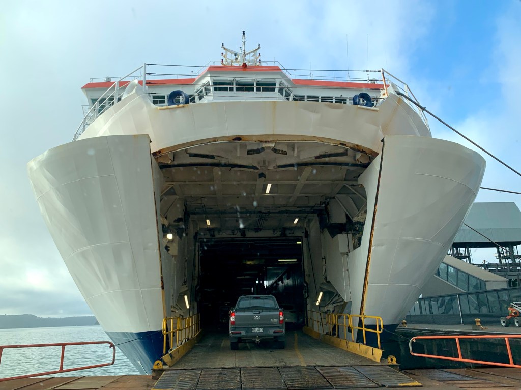
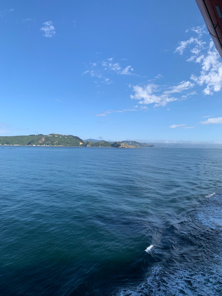
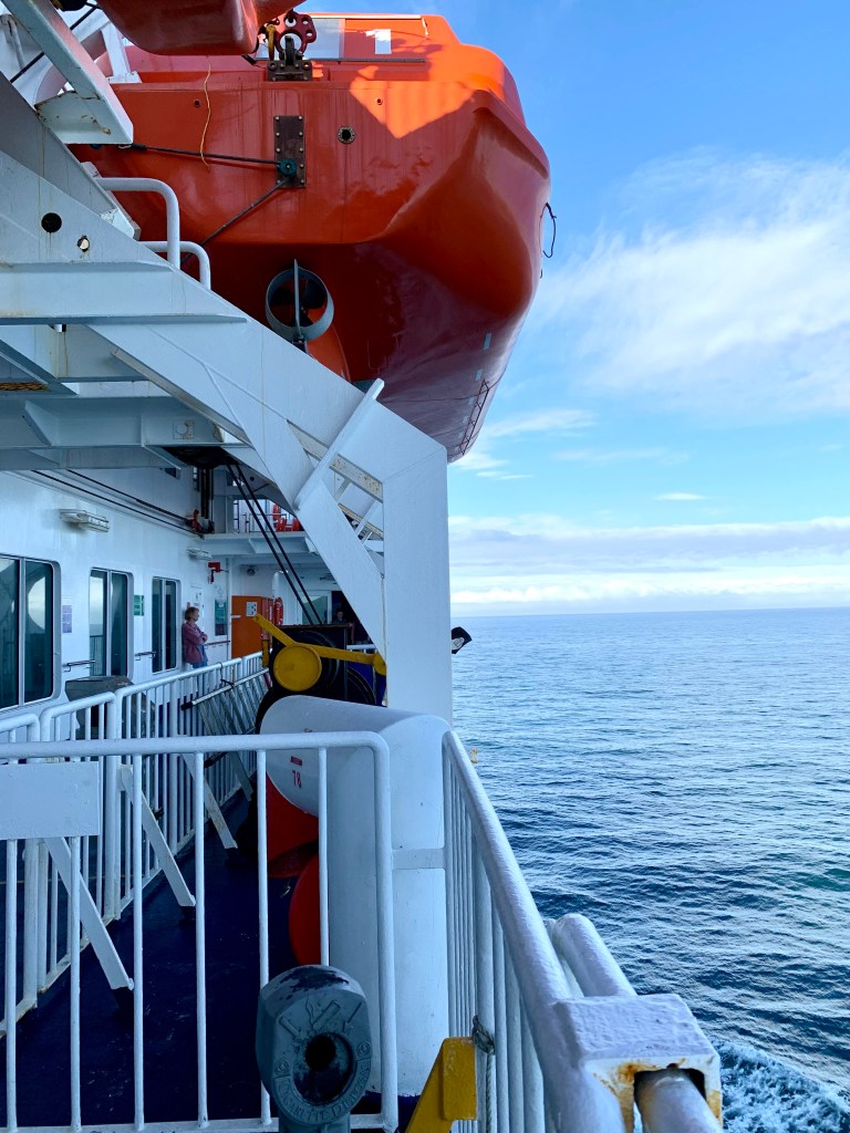
We had an early start this morning because we had to check in to the Interisland car ferry to Picton on the South Island. The ferry we are booked on is called the Kaitaki which brings back lots of happy associations with Kaitak airport in Hong Kong. Kaitak was a lovely airport on a human scale; so very much nicer than these immense new airports built on a colossal scale, like Dubai and Heathrow, that are making air travel such a marathon and a misery these days.
The Kaitaki
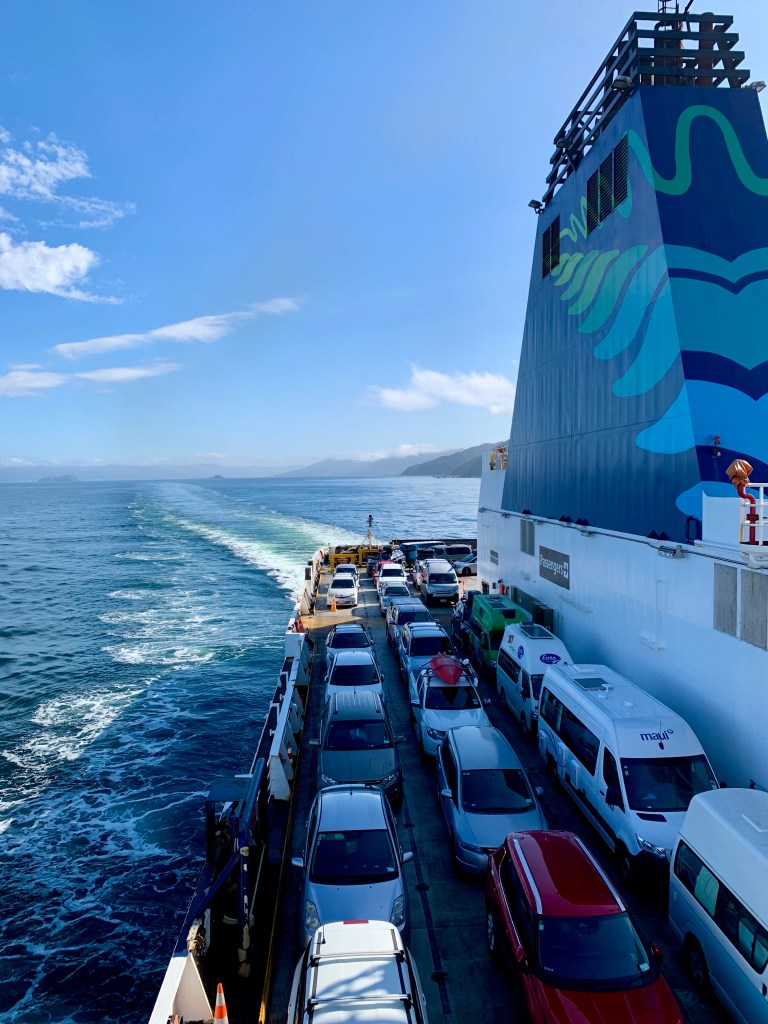
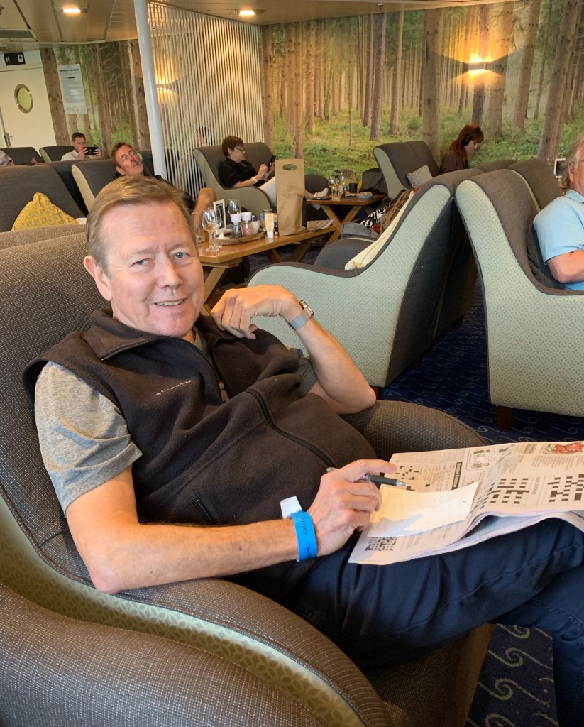
This is the first car ferry I have ever been on and on the topic of mammoth structures, you only realize just how large the ferry is when you see how many vehicles of all sizes there are, including numerous large trucks, queueing up alongside you to drive into the ferry. The loading procedure was handled in an extremely orderly and well organised way and that large number of vehicles was somehow accommodated on board. There are 9 levels on this ferry and our lounge was on the 7th level.
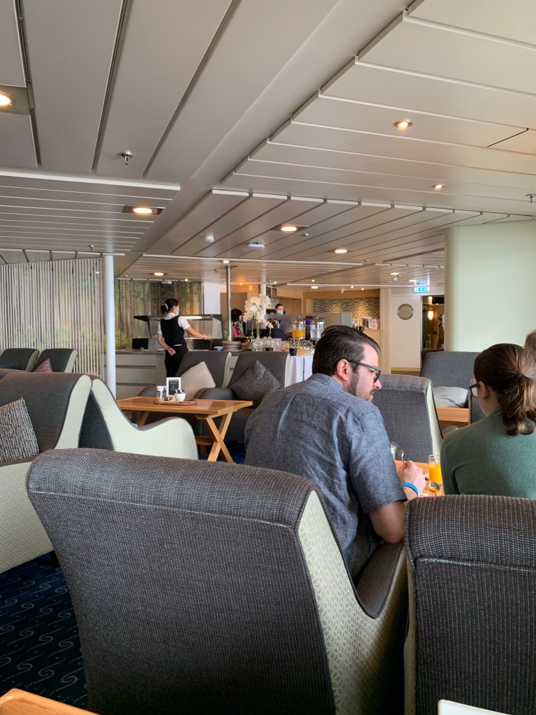
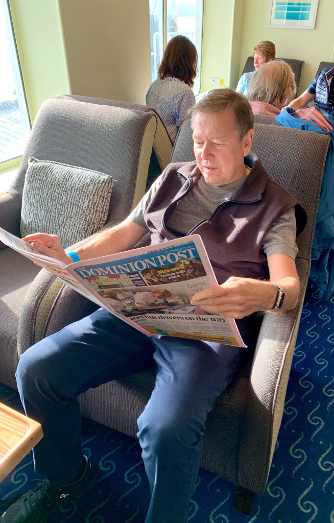
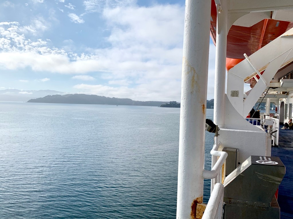
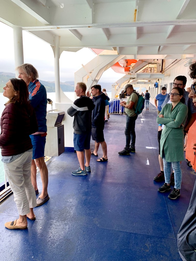
The lounge was pleasant and the chairs were very comfortable. They served a substantial buffet style breakfast with plenty of choice and there was tea and coffee available for the whole duration of the 92km crossing that takes 3 and a half hours. It was certainly a very enjoyable way to travel and the views from the outside decks were stunning.
The ferry lounge on Level 7A much more relaxing way to travel than driving!
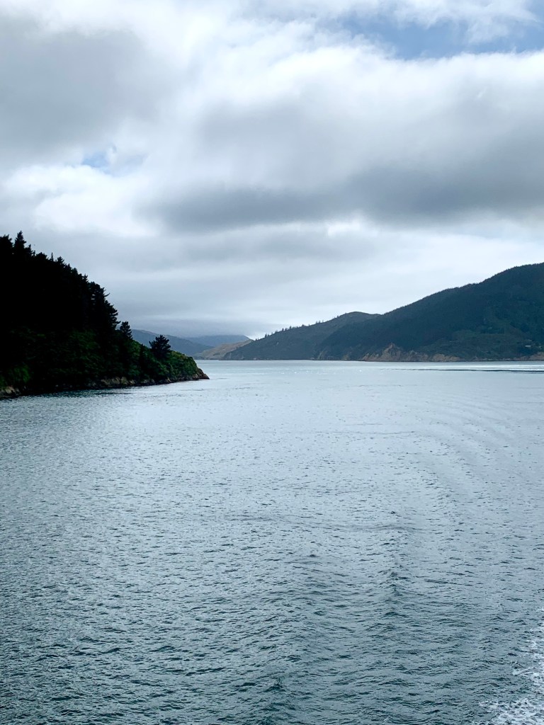
Shortly after arriving in Picton, we were driving off the ferry and on our way to Nelson where we will be staying the night. The countryside is noticeably more hilly and forested and the views along the route are beautiful.
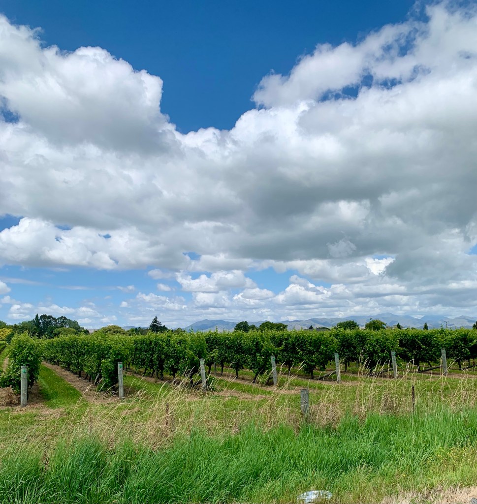
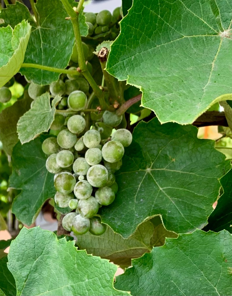
We then drove through a lot of vineyards in the Marlborough region with hundreds of perfectly neat rows of grapevines on both sides of the road.
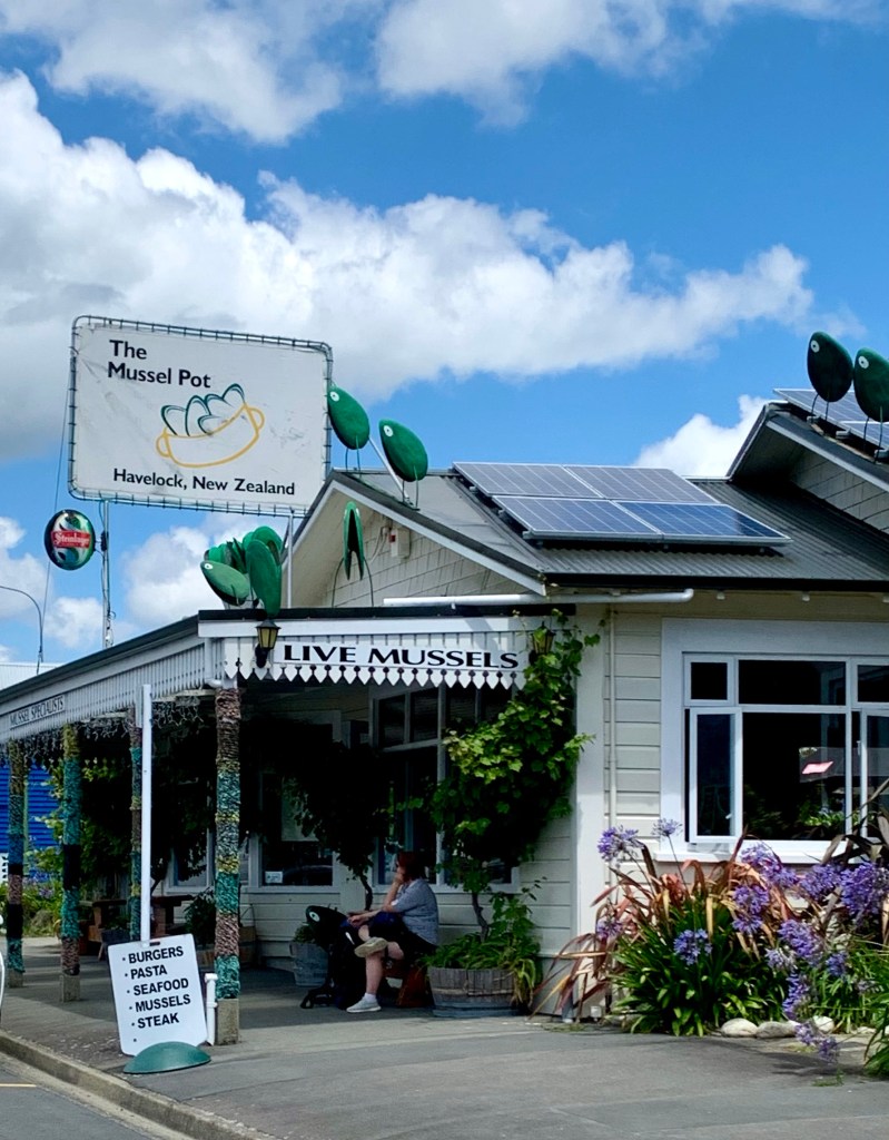
We stopped for a quick coffee in a quaint town called Havelock that is situated at the head of the Pelorus Sound, at the mouth of the Pelorus and Kaituna rivers. State Highway 6 from Blenheim to Nelson runs through this town which styles itself as the greenshell mussel capital of the world. One of the things that is striking and very appealing about New Zealand is that it is still relatively unspoiled and very much functions on a human scale. You get the clear impression that New Zealanders are in touch with their natural surroundings and that they value and protect that natural environment. I like that!
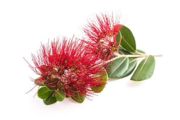
Just after 3.30pm we arrived in Nelson and checked into the motel where we are staying tonight. The motel is owned by a couple who were cabin staff on Air New Zealand and bought the business almost 3 years ago. Their logo is the flower of a New Zealand tree in the myrtle family known by its Māori name as the pōhutukawa tree; it’s also known as the Christmas tree for obvious reasons.
Metrosideros excelsa, commonly known as pōhutukawa; New Zealand Christmas tree or iron tree is a a coastal evergreen tree
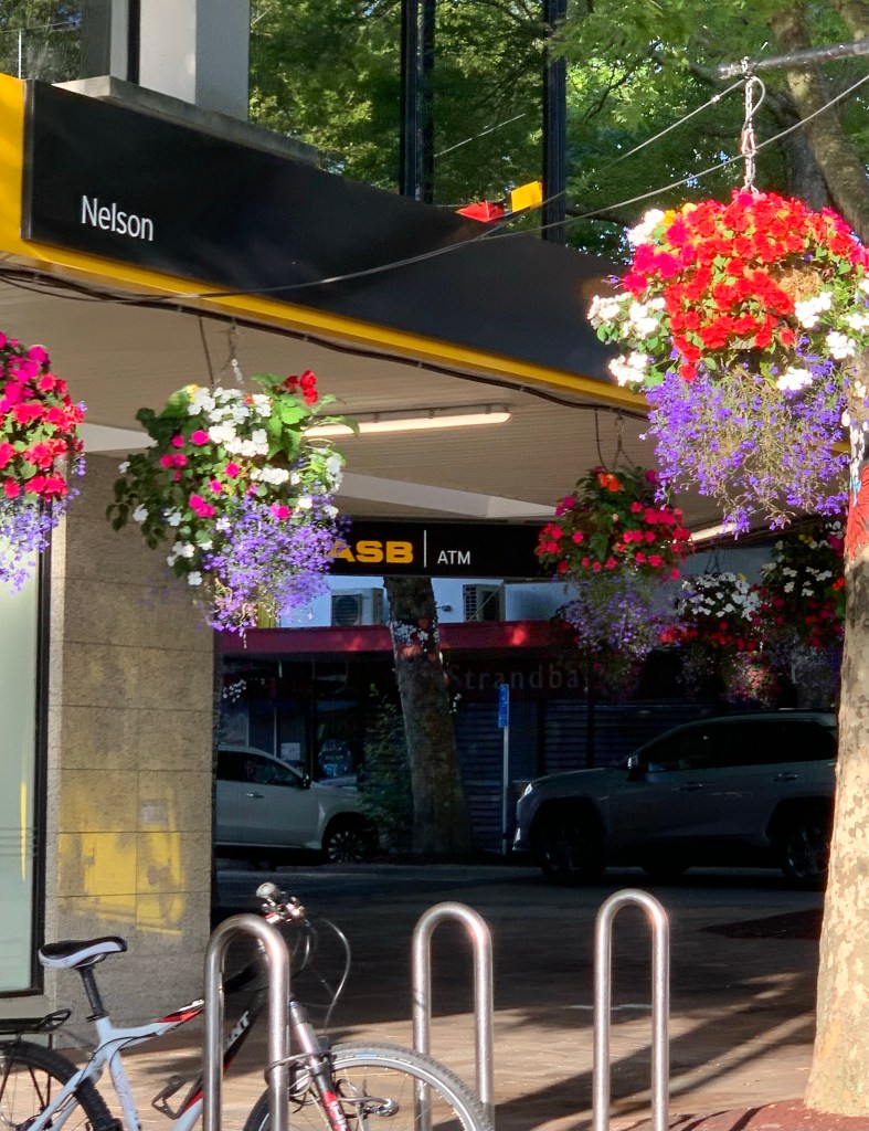
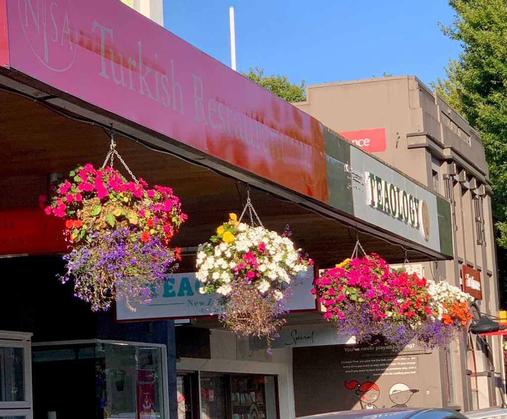
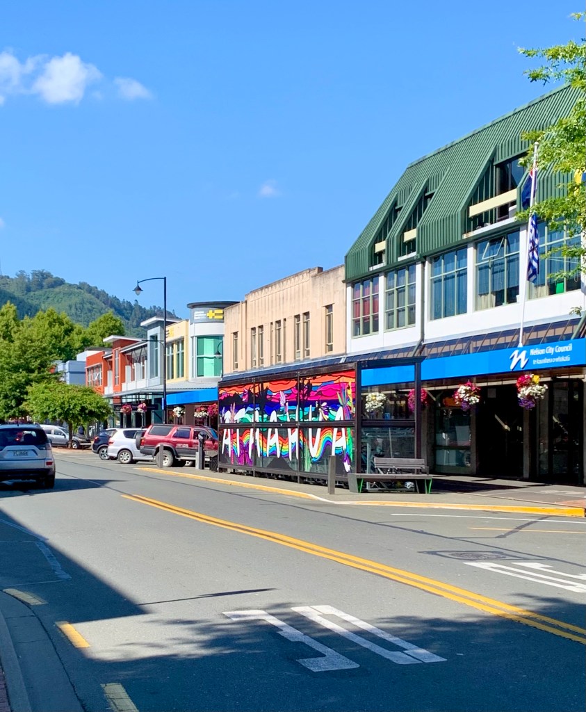
After a short rest we went out for a drive in and around the town to get our bearings. Nelson is a very pretty town with beautiful gardens and lovely baskets of hanging flowers along all the streets in the town centre. We’ll do more exploring of the town tomorrow.
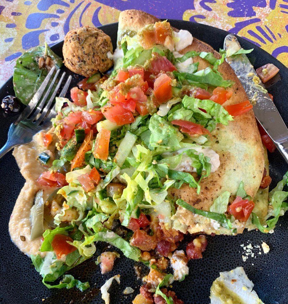
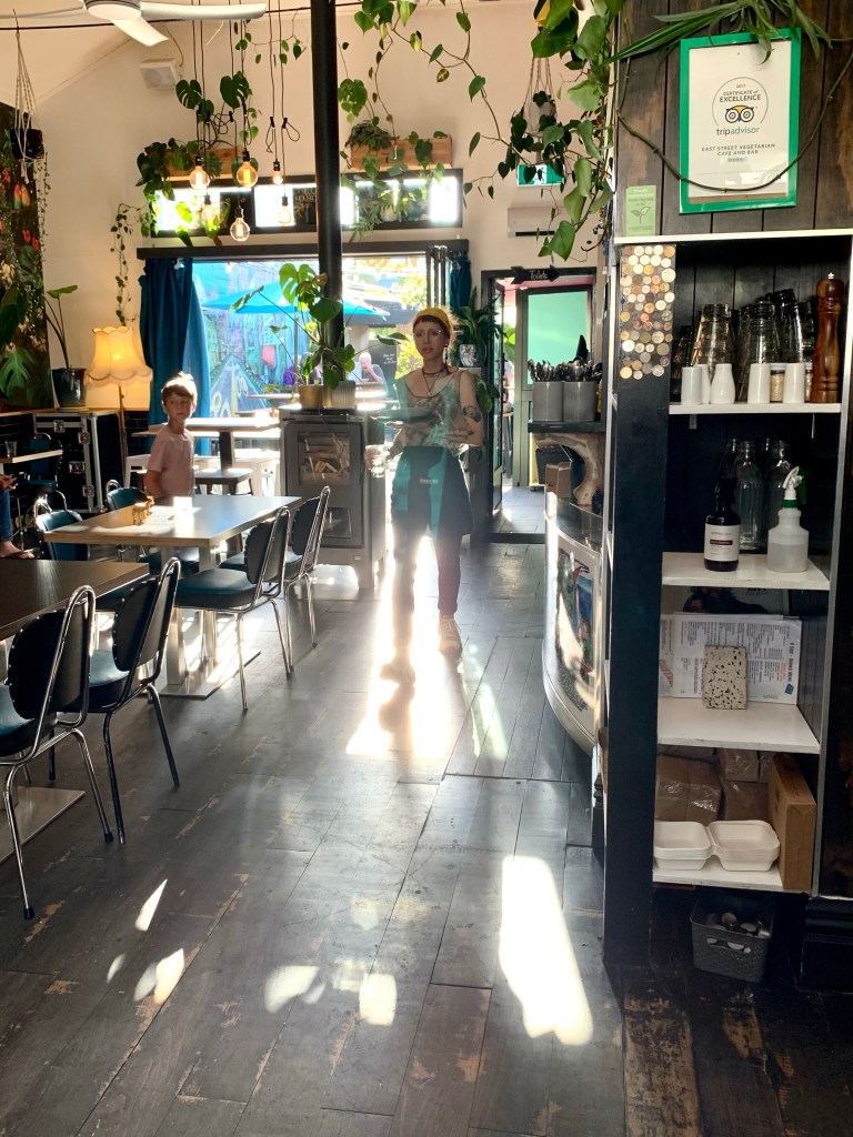
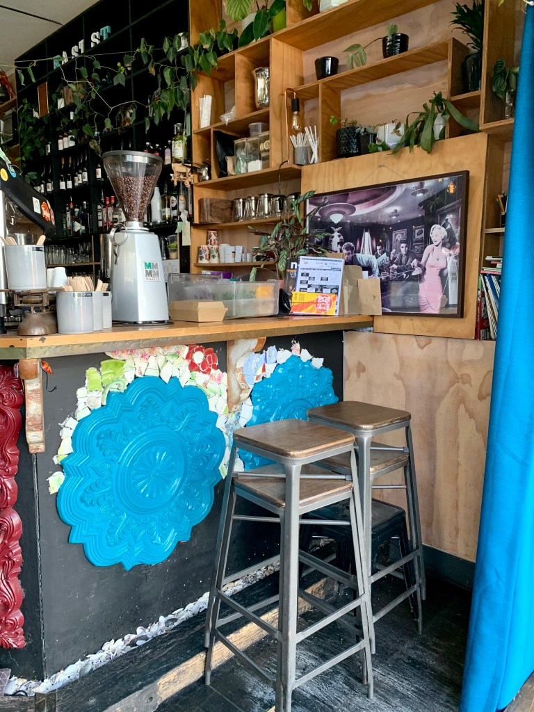
Michael found a vegan restaurant very close to the motel called East Street who are actually located in Church Street. We went there for an early dinner and had a delicious meal. Very good indeed! They have an interesting and extensive menu. Their decor is similarly interesting and fun.
So ends another delightful day in New Zealand. Today was the 13th day of our trip which means that we have already completed 30% of our journey and have 30 days left. Time is running!
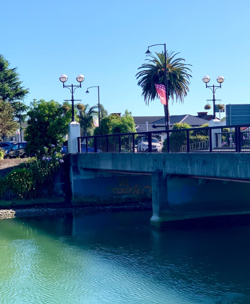
Looking back over the bridge that leads traffic into Trafalgar Street, the main street of Nelson.
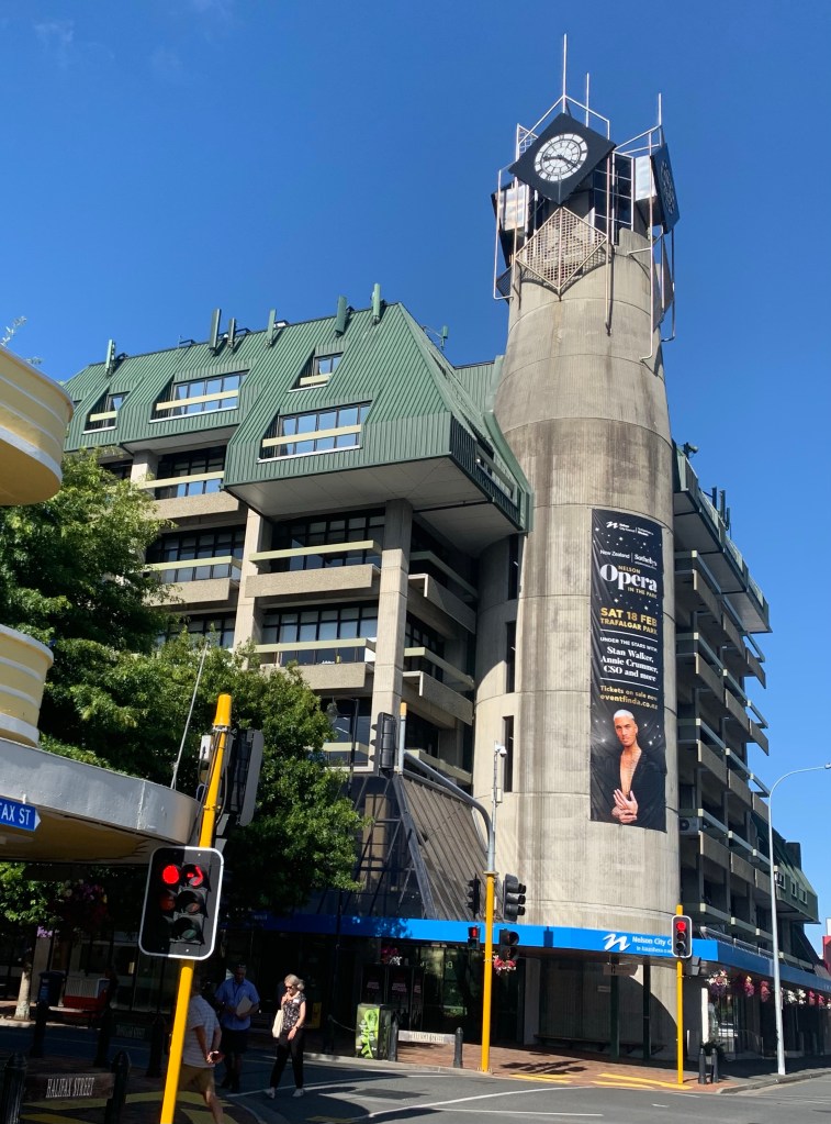
Nelson is a pretty, historic little city that is well worth visiting. Trafalgar Street is the location of both of town’s most iconic and noticeable buildings and, unusually, both are grey in colour. The first thing you see on your right when you cross the bridge into Nelson is a very striking and dominant brutalist-style building.
Nelson’s Civic House with its its brutalist concrete, Mansard roofed, futuristic-pipe tower structure
This building has a very controversial history and certainly stands out. It continues to be contentious and to attract a lot of debate and dislike. It is now the civic centre of Nelson but it started out its life as the new central Post Office in 1983.
“The hideous thing that the council has approved with its Brobdingnagian milk bottle tower would make Nelson the laughing stock of New Zealand.”
So wrote an indignant L Assheton Harbord in a letter to the Nelson City Council in December 1978, protesting plans for a new central Post Office at the entrance to the city’s main street.
Another anonymous commentator wrote: “The building is an 80s nightmare that manages to be garish and dreary at the same time. A poorly imagined mish-mash of concrete austerity and clockwork kitsch, topped off with a forest green steel mullet.”
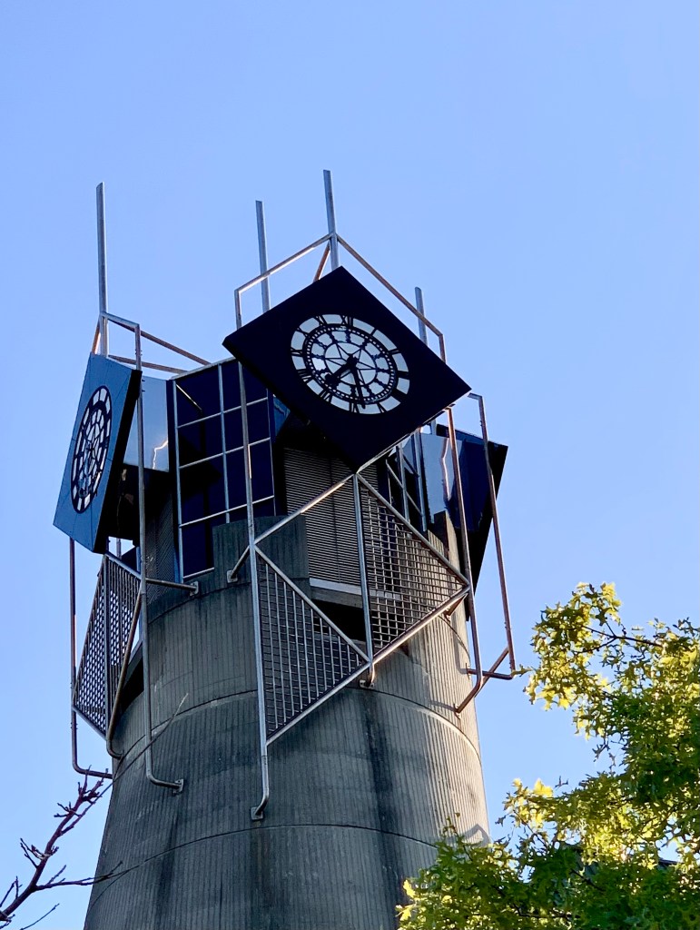
The clock does strike every hour and it is certainly a unique building. Ugly and maybe fortunately unique.
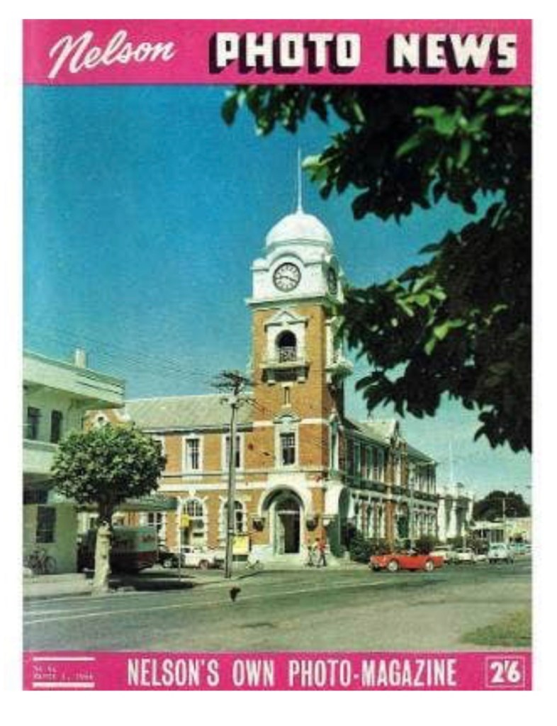
Below is Nelson’s former Post Office in 1966 on the front of the Nelson Photo News, four years before it was demolished. The old Nelson Post Office was built in 1906 and demolished because of earthquake risk concerns in 1970. That would certainly not have been acceptable now. Such a loss, in my opinion.
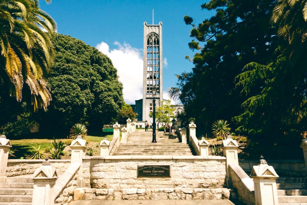
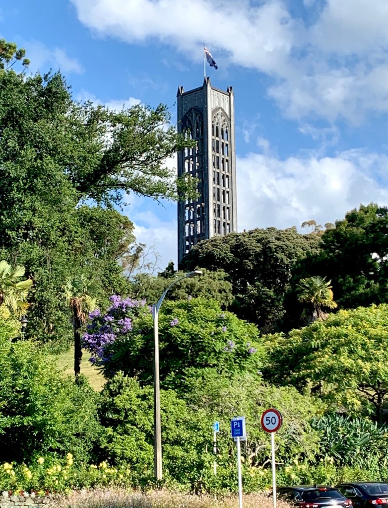
At the other end of Trafalgar Street is a long granite staircase, known as the Cawthron steps, that goes up through lush gardens to the top of Church Hill where Christ Church Cathedral, with its 35m high bell tower, is located. The original church was built in 1851 at a nearby site and the current church is the fifth iteration of the church’s building. The building of the current church was started in 1925 and completed in 1965.
The church was going to be faced with Tākaka marble from the Pakikiruna Range but after the 1929 Murchison earthquake, that was deemed too risky and much too expensive so the marble was ground down and mixed with plaster to give the church its very unusual appearance and colour.
Christ Church Cathedral is an Anglican cathedral on Pikimai Hill, at the upper end of Trafalgar Street overlooking the centre of town.Looking up Trafalgar Street towards the church
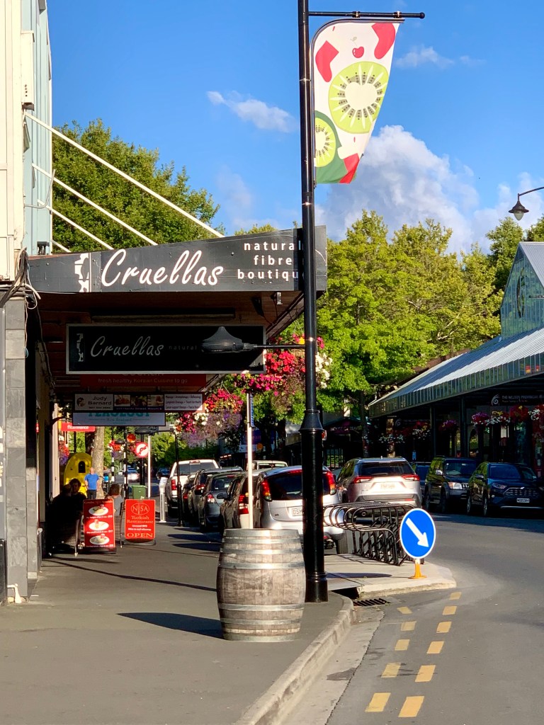
Some views around town:
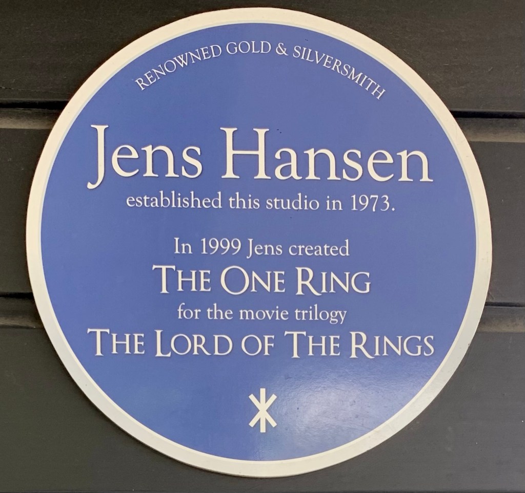
The One Ring created for film version of The Lord of the Rings trilogy was designed and made by Jens Hansen, Gold & Silversmithof Nelson. Jens Hansen’s son, Halfdan Hansen, now runs the business
Nelson’s Botanical Hill was once thought to be the geographical centre of New Zealand because the top of that hill was used as a starting point for trigonometrical surveys by Chief Surveyor of Nelson, John Spence Browning in the 1870s. However, a survey in 1962 determined the true geographical centre of New Zealand to be in the Golden Downs Forest, a few kilometres south of Kohatu, with the exact coordinates: 41deg. 30min S., 172deg. 50min E.
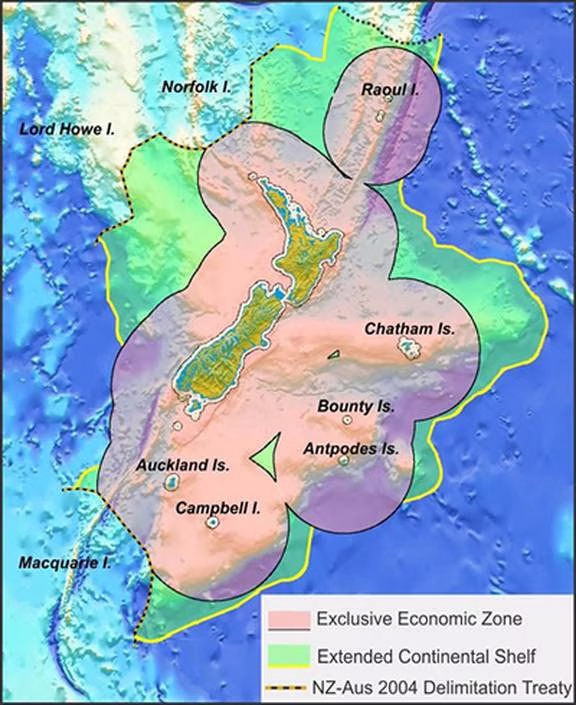
Of course it didn’t end there; in 2008, Kiwi scientists made a successful bid to the United Nations to recognise New Zealand’s Extended Continental Shelf, thereby adding 1.6 million square kilometres of sea floor to New Zealand’s economic zone.
New Zealand’s extended continental shelf is about 22 times the area of the country’s landmass. The exact coordinates of the new geographic centre are: 175° 21.737’E, 41° 1.093’S.
New Zealand’s territory is now said to cover some six million square kilometres, making it eight times as big as Texas and 16 times the size of California. In other words, most of New Zealand’s territory is underwater which means that the new geographical centre of the country is in the Tararua Range on the North island, about 11km northwest of the Wairarapa town of Greytown.
Goodbye Nelson, hope to see you again sometime. You are a great little city. Whether you are the geographical centre of New Zealand or not matters not a jot. I wish we’d had more time to get to know you.
Let us not forget that the cultivation of the earth is the most important labor of man. When tillage begins, other arts follow. The farmers, therefore, are the founders of human civilization. – Daniel Webster, US senator
Once you turn left out of Nelson onto State Highway 6, you very soon find yourself in amongst farms on both sides of the road. This is clearly an area of very fertile land and an amenable climate because we saw a wide range of crops being grown: maize, apples, hops, olives, avocados, vegetables, grapes, berries and wheat.
The distance from Nelson to our next destination, Greymouth, is just over 280km with an estimated driving time (according to Google maps) of 3 and a half hours. On the topic of Google Maps, I have reflected numerous times on this trip and others on the incredible difference that Google maps has made to our lives. It really is something of a miracle.The long road trips we did with Danielle and Tristan through Australia and Canada when they were young always involved the non-driver having to do a lot of navigation. The first thing you had to do when you got to the place you were visiting was to find a petrol station or a bookshop that sold a much more detailed atlas or foldout map of the area than the more general one of that area you had used for your planning bought from a bookshop where you lived. You had to have that map open in front of you for the whole trip and pay careful attention to it, hoping that the information it contained was accurate. The idea of the sophisticated GPS-enabled navigation technology we have on a personal phone now was just the stuff of sci-fi.
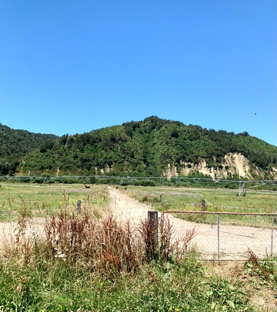
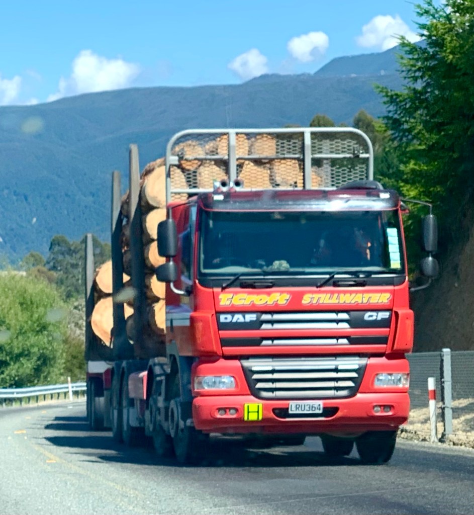
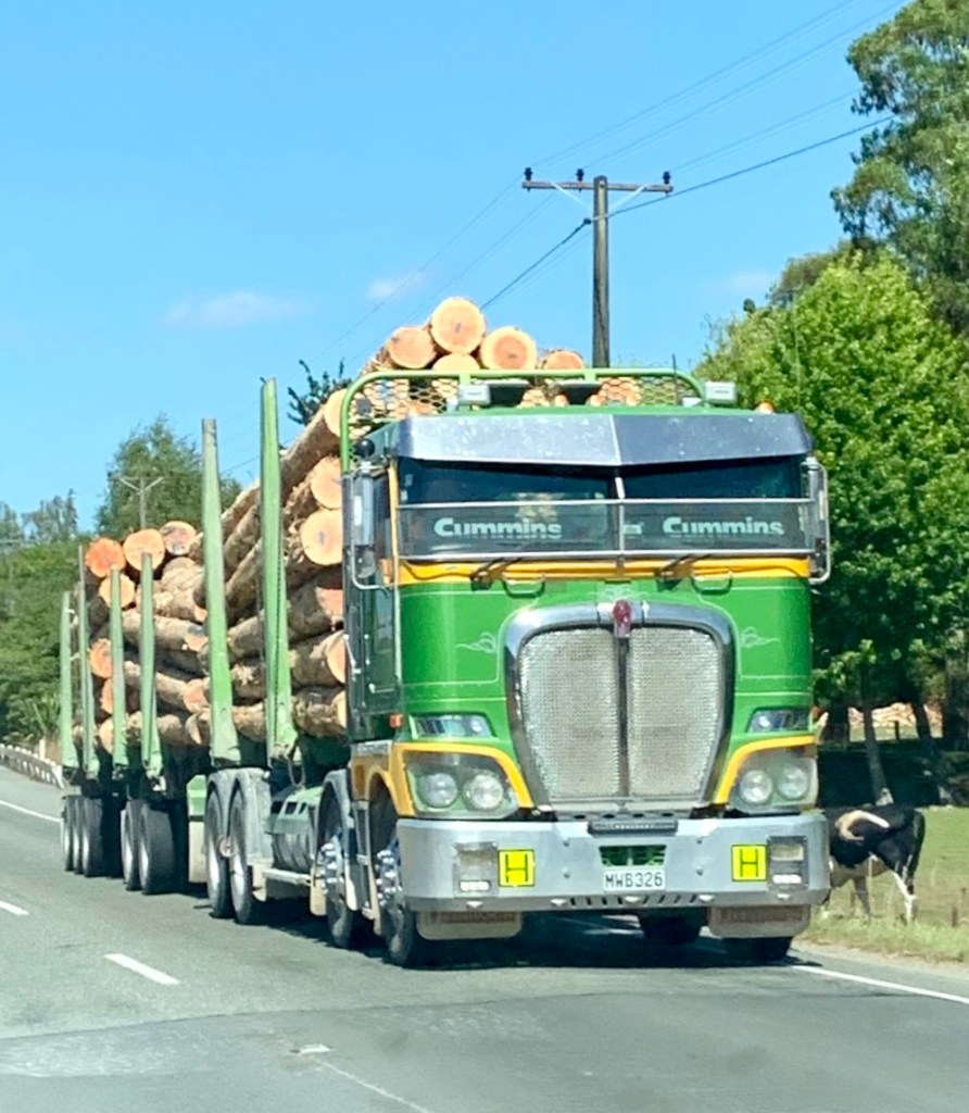
The countryside on the first part of the long road from Nelson to the west coast changes quite a lot, with areas of farmland interspersed by forested land and rocky hills. Judging from the number of trucks carrying lumber that we passed, there is a lot of logging and wood milling going on in the area too.
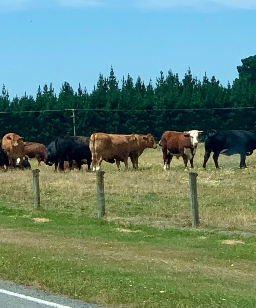
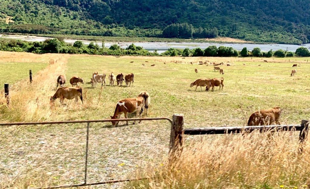
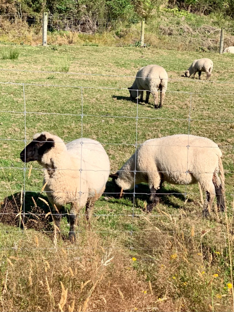
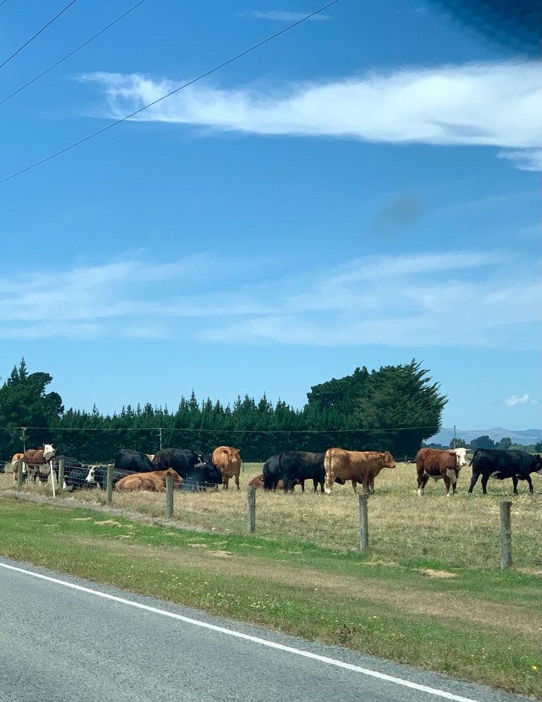
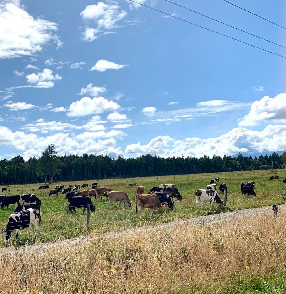
There is also a lot of livestock farming and, contrary to my expectations, there is far more cattle farming in this area than sheep. There is also deer farming.
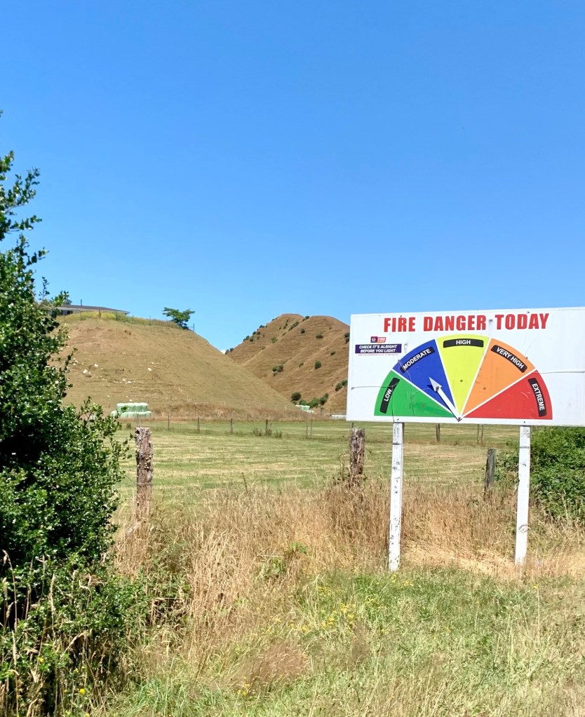
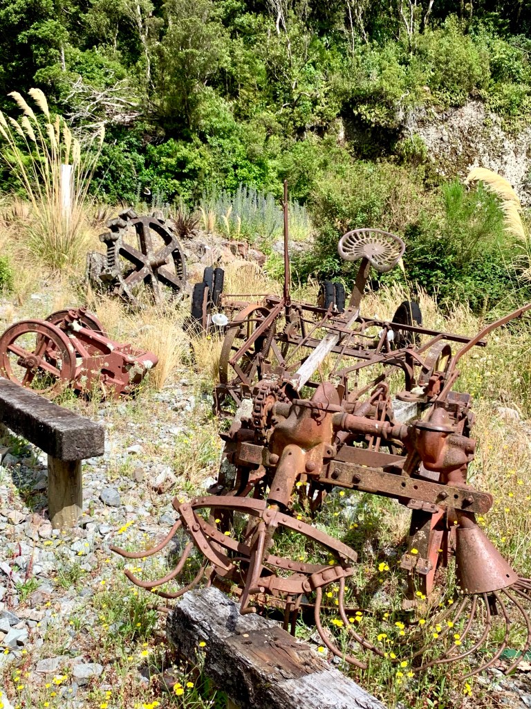
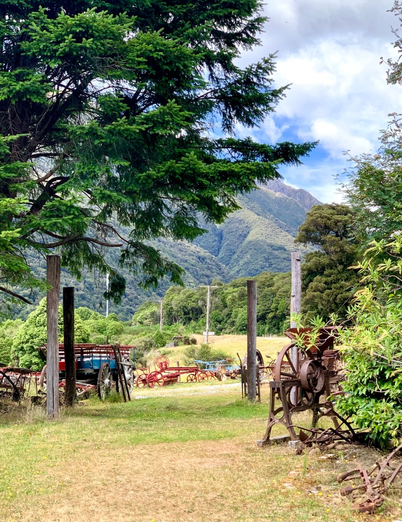
We stopped after an hour and a half’s drive at a small rural service town called Murchison for a coffee, tea and a snack. The town lies at the western end of the Four Rivers Plain, at the confluence of the Buller River, the Matakitaki River, the Mangles River and the Matiri River. The town was was named after the Scottish geologist Roderick Murchison who was one of the founders of the Royal Geographical Society in 1830 for the advancement of geographical sciences. Fossicking for gold and mining took place throughout the whole of the Tasman area and, like many of the small towns in this area, many of Murchison’s early settlers were gold miners. There are still many traces of those early pioneering days around.
In 1929 Murchison was the epicentre of a major earthquake with an estimated magnitude of 7.3 on the Richter Scale. The earthquake occurred at 10:17am on the 17th June and was felt throughout New Zealand. There were 17 deaths, mostly as a result of landslides triggered by the earthquake, making it the third deadliest earthquake in New Zealand’s recorded history.
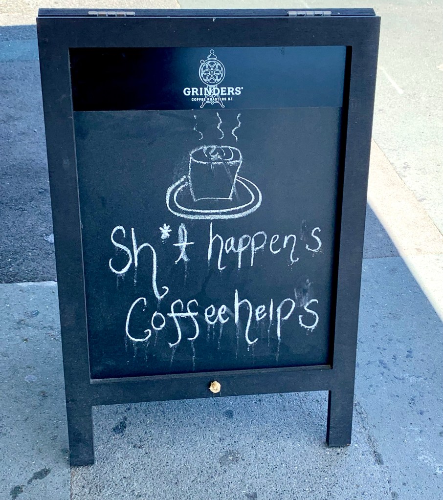
We stopped at a café in Murchison with this sign outside its door.
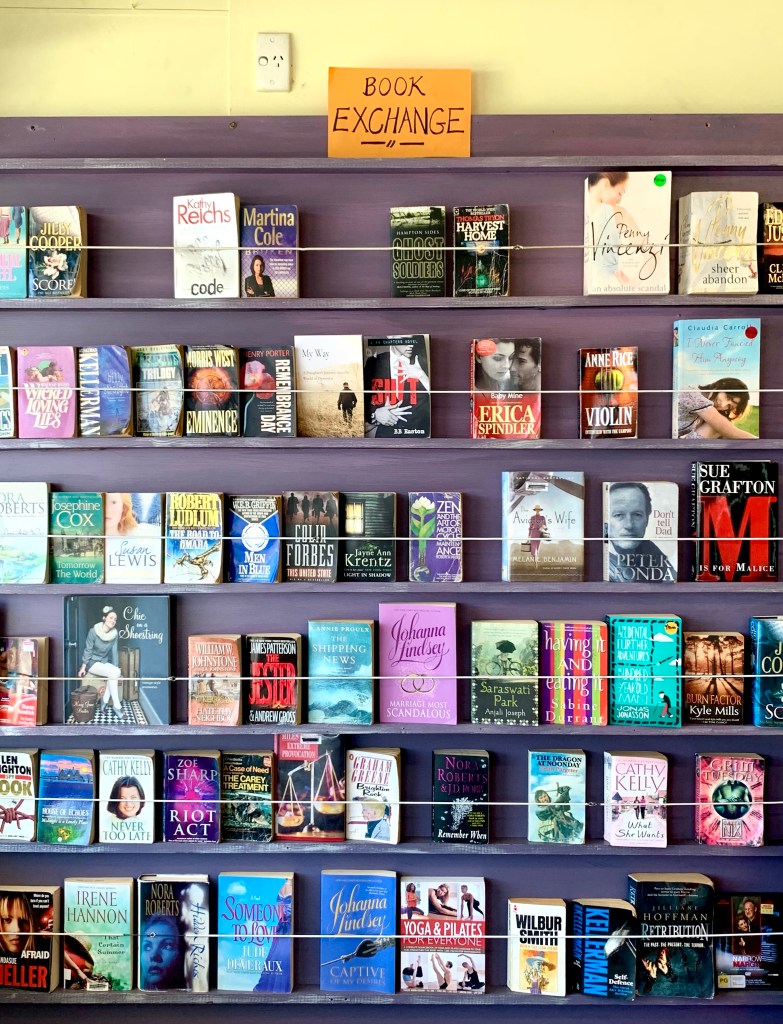
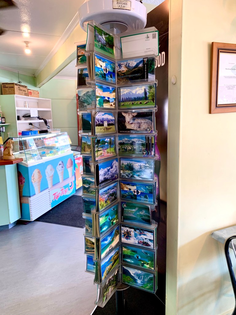
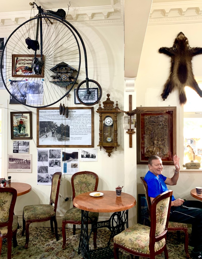
Much of what we have seen of New Zealand thus far reminds me so much of my much younger years in South Africa, particularly the wide open unspoiled landscapes; the much quieter roads with only one lane each way and the quaint small towns in the rural country areas. The café we stopped at had 2 features that are long gone in many places: a book exchange and a postcard stand. They made me feel quite nostalgic.
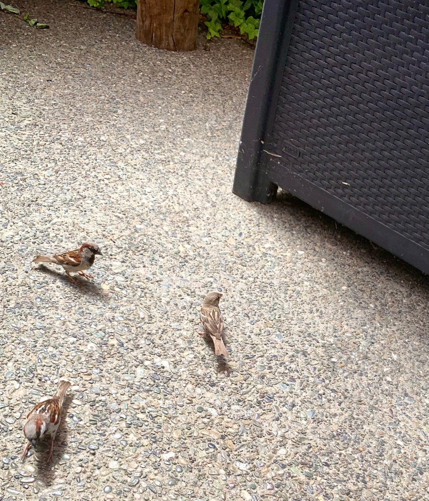
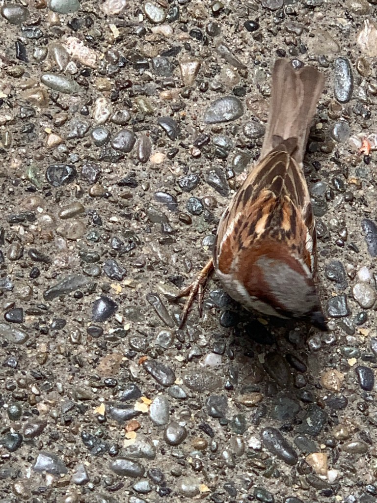
We sat outside to have our drinks and were quickly surrounded by lots of busy little sparrows eager for crumbs
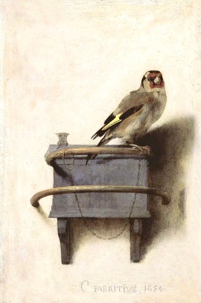
These little birds reminded me so much of one of my favourite paintings: The Goldfinch by Carel Fabritius. We saw this wonderful jewel of a painting when we visited the Mauritshuis museum in The Hague quite a number of years ago. This extraordinary little painting’s (33.5x 22.8cm) ) beauty and genius is its simplicity and appearance of spontaneity. Fabritius’s lifelike portrait of the little bird is painted with clearly visible brushstrokes; some of its wing feathers are depicted in thick yellow paint which he scratched with the handle of his brush.
The Goldfinch by Carel Fabritius 1654
Carel Fabritius lived in Delft and was 32 when he painted The Goldfinch. Sadly, this very talented young painter had a short life that ended in a tragic accident the same year he painted his little bird. Fabritius lost his life when a gunpowder warehouse exploded catastrophically in Delft. It was a devastating explosion that destroyed a quarter of the town. Miraculously the painting survived the explosion.
Deborah Davis who has written a book about the painting quotes an art dealer who speculates that the painting may be worth $300 million. She quotes him as saying: When considered by the square inch, The Goldfinch might be one of the most valuable paintings in the world.”
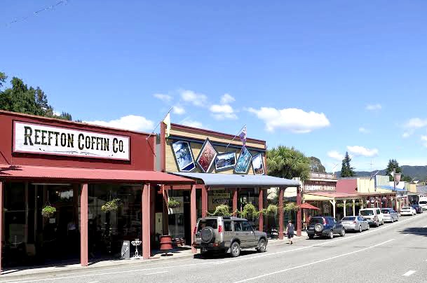
After our short break we left Murchison and continued on State Highway 6 through the Upper Buller Gorge for 84km to the small town of Reefton, which styles itself as The Town of Light. The surprising reason for that being that in August 1888 Reefton became the first place in New Zealand and one of the first places in the Southern Hemisphere to have a public supply of electricity. Kimberley was the first town in South Africa to have electric street lights; its first street lights were first lit on the 2nd of September 1882.
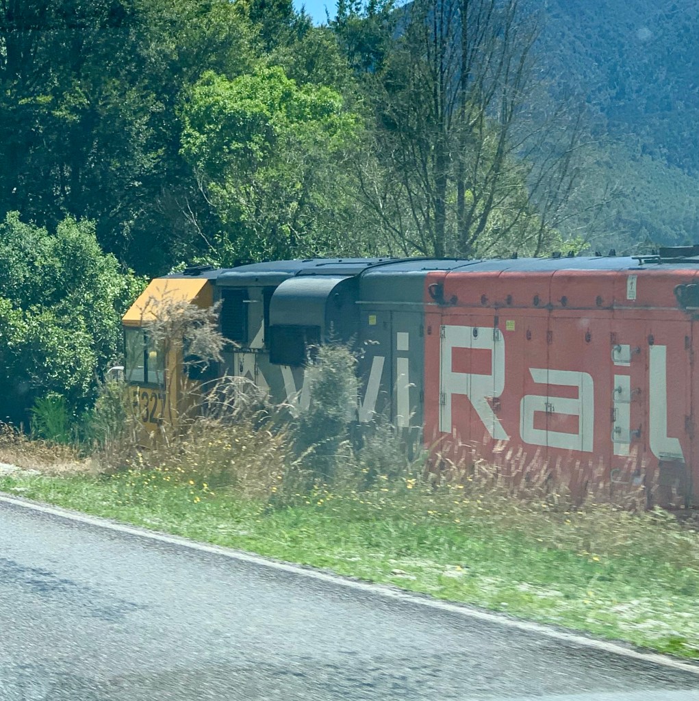
Like Kimberley, Reefton came into being because of a gold rush in the 1860s when alluvial gold was discovered in the Īnangahua Valley. The town also has long associations with the railways and the first railway line to Reefton started operating in 1892. Many old, historical buildings in the town have been restored and there are several heritage sites in the vicinity.
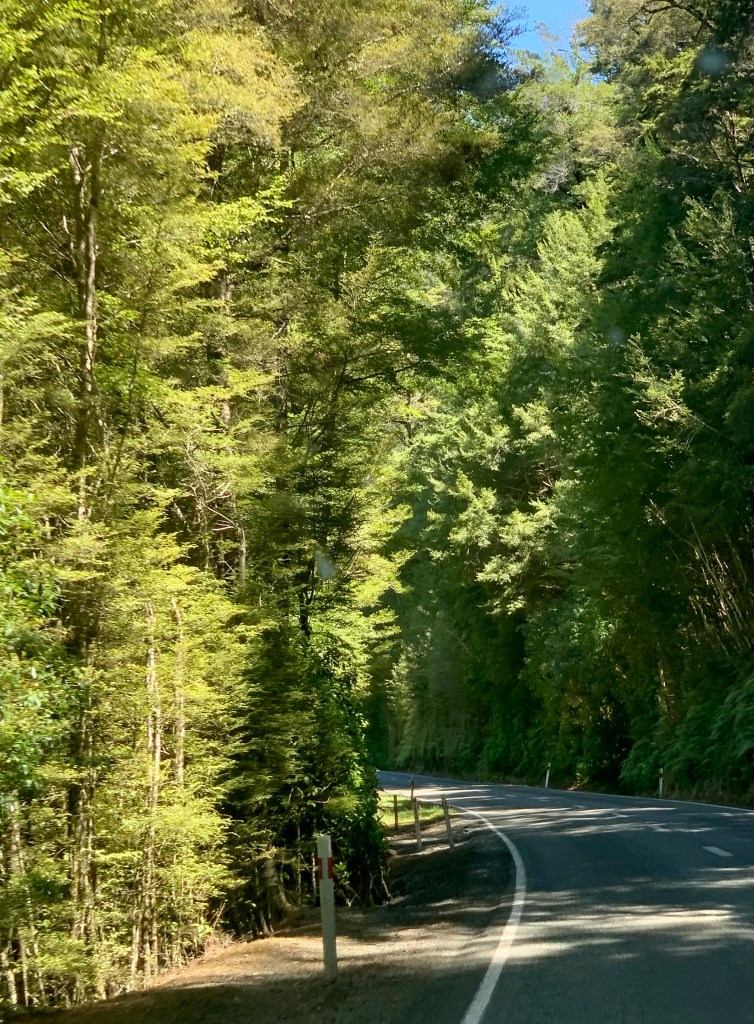
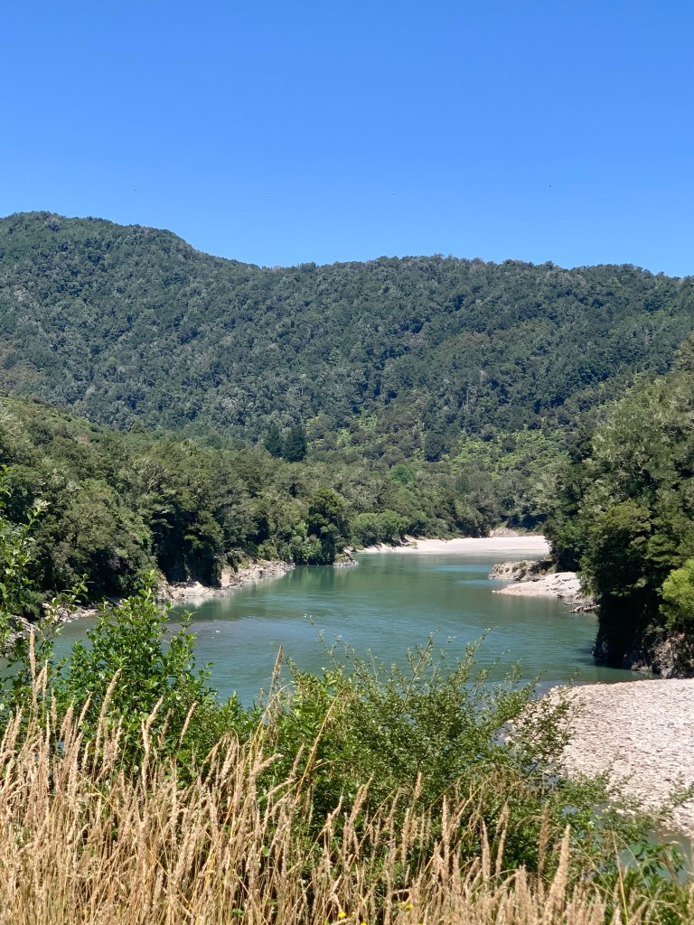
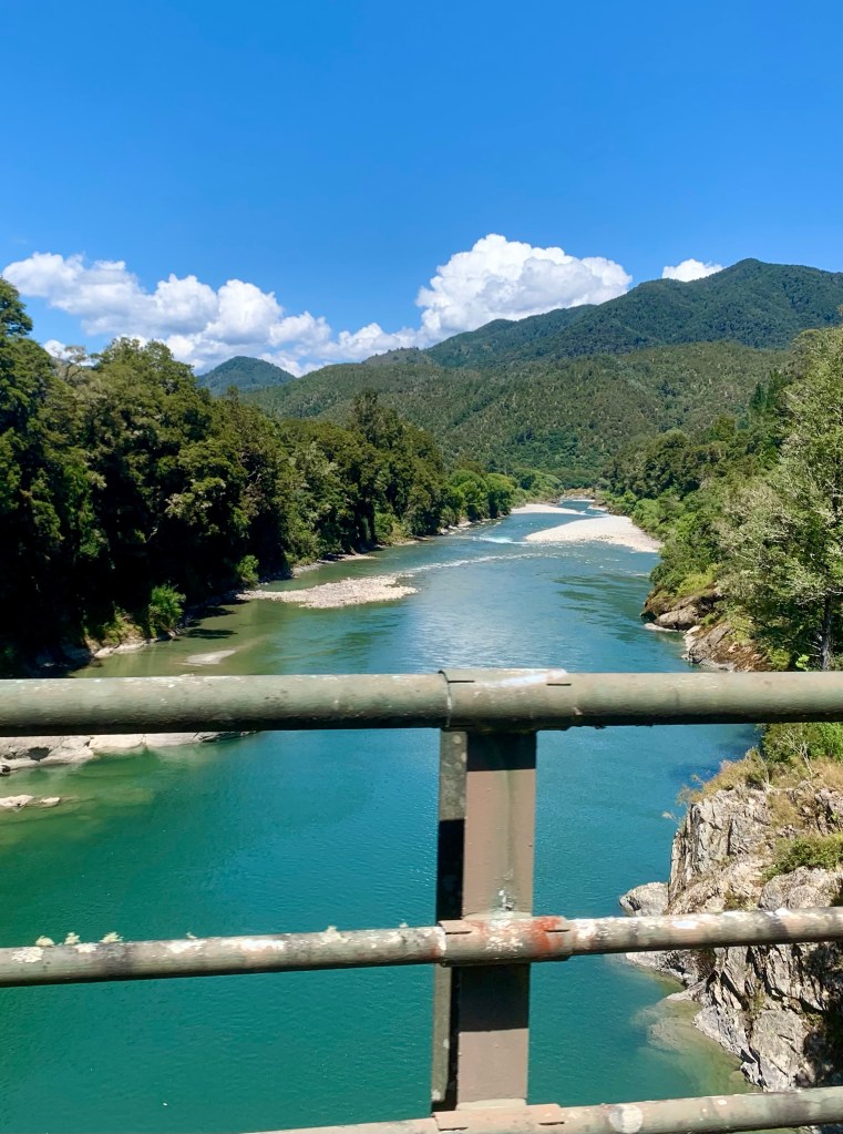
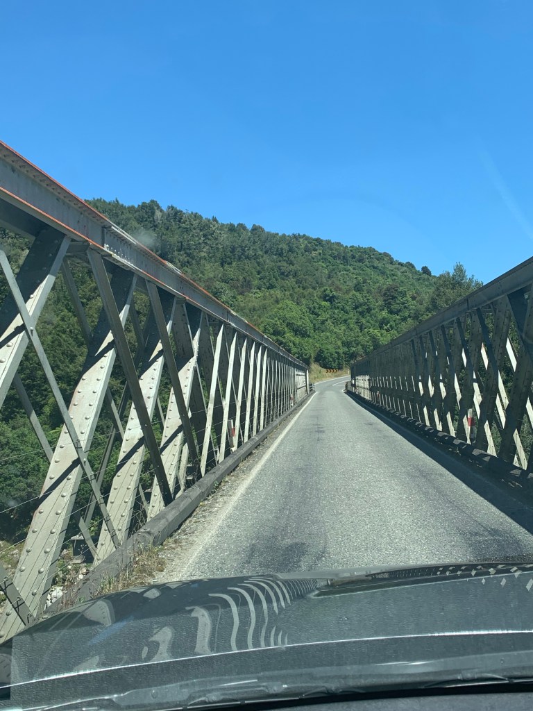
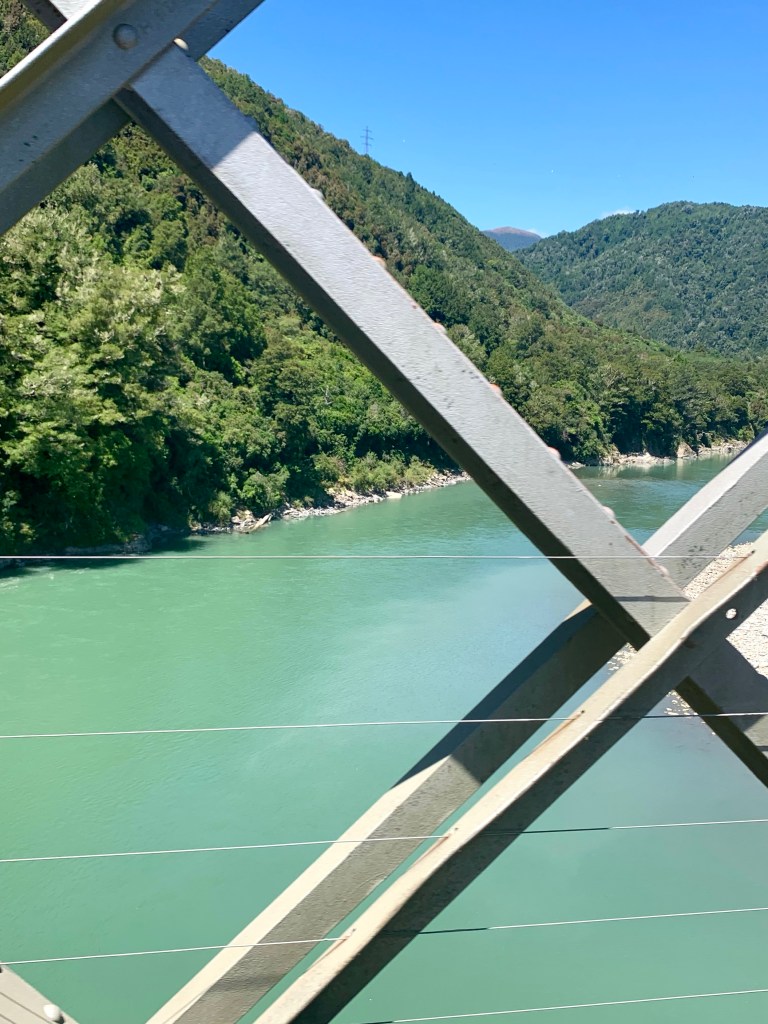
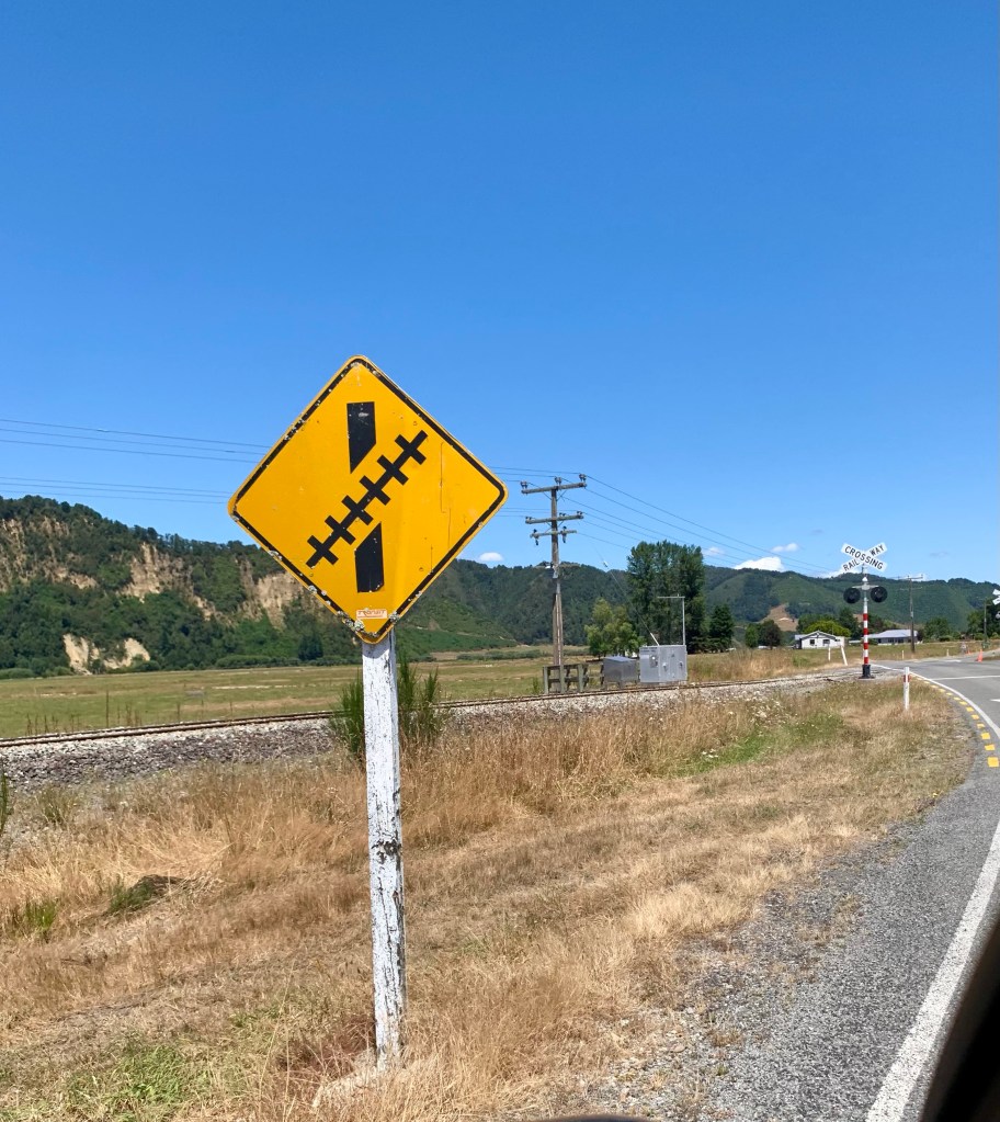
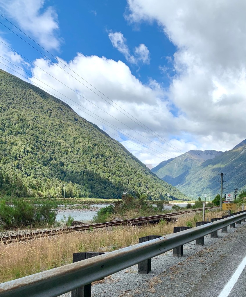
Just after Reefton, we turned right onto State Highway 7 towards Greymouth, with 80km left to drive before reaching our destination. From then on the road ran alongside the meandering Grey River which meant that it is a very twisty road with many curves. We also crossed back and forth across the river from time to time, usually by means of single lane narrow bridges. You can only marvel at the persistence, courage, engineering skill and sheer hard work that it must have taken to cut all these roads and lay these railway tracks in the first place. What a feat of human determination and ingenuity it was!
Eventually, all things merge into one, and a river runs through it. The river was cut by the world’s great flood and runs over rocks from the basement of time. On some of the rocks are timeless raindrops. Under the rocks are the words, and some of the words are theirs. – Norman Maclean A River Runs Through It and Other Stories
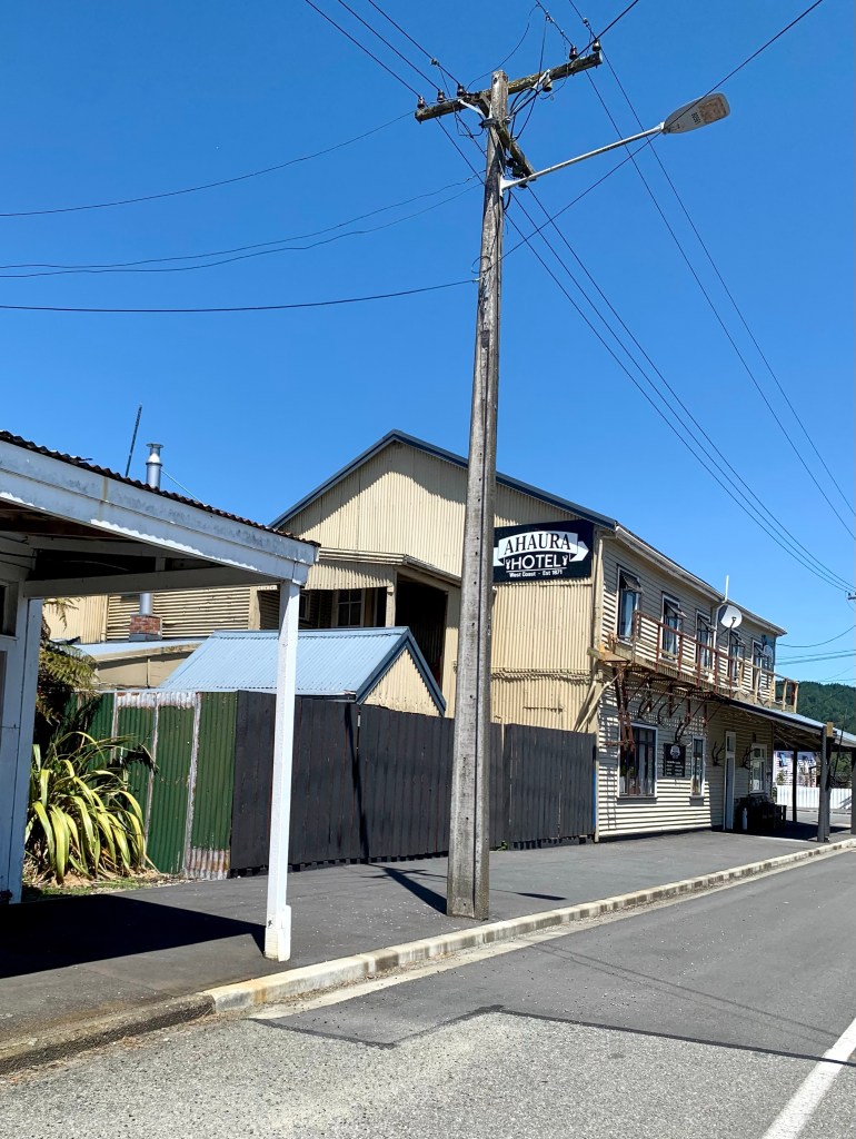
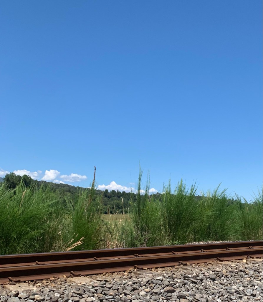
About 43km south west of Reefton is the small town of Ahaura where the Ahaura River runs into the Grey River. From that point on the road runs closely alongside the railway line for the rest of the way to Greymouth. Like it did with the river, the road crosses back and forth across the tracks.
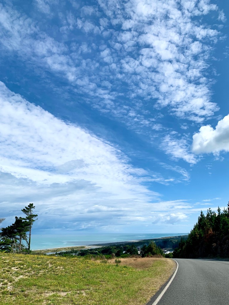
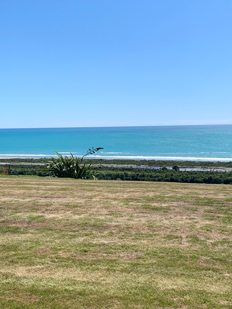
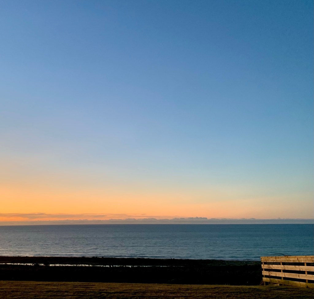
We got to Greymouth at about 4.00pm and located our accommodation there for the night. It is called Views over Tasman and that is exactly what it is.
We were warmly greeted by Anthea who co-owns the property with her husband, Wayne. The unit was very thoughtfully laid out and excellently provisioned. A photograph does not due justice to the immensely wide and stunning view of the Tasman Sea from its front windows. There is a porch in front with chairs so you can sit out and contemplate the still and tranquil scene. But it is not a quiet place, the loud hissing sound of the cicadas’ singing fills the air all around you. I like that sound.
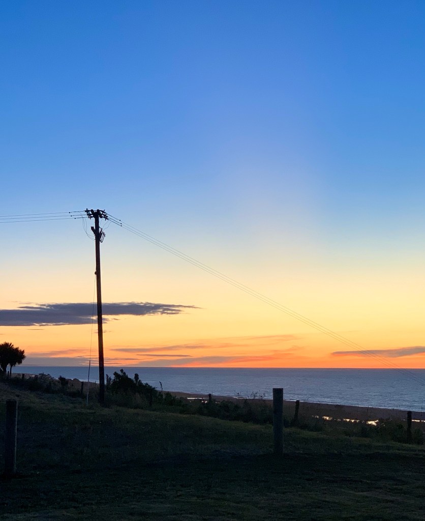
A glorious sunset over the Tasman at the end of a day’s long journey. Nature is so beautiful.
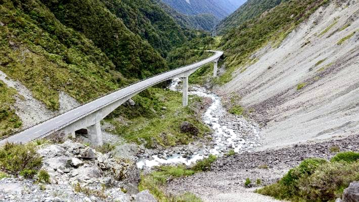
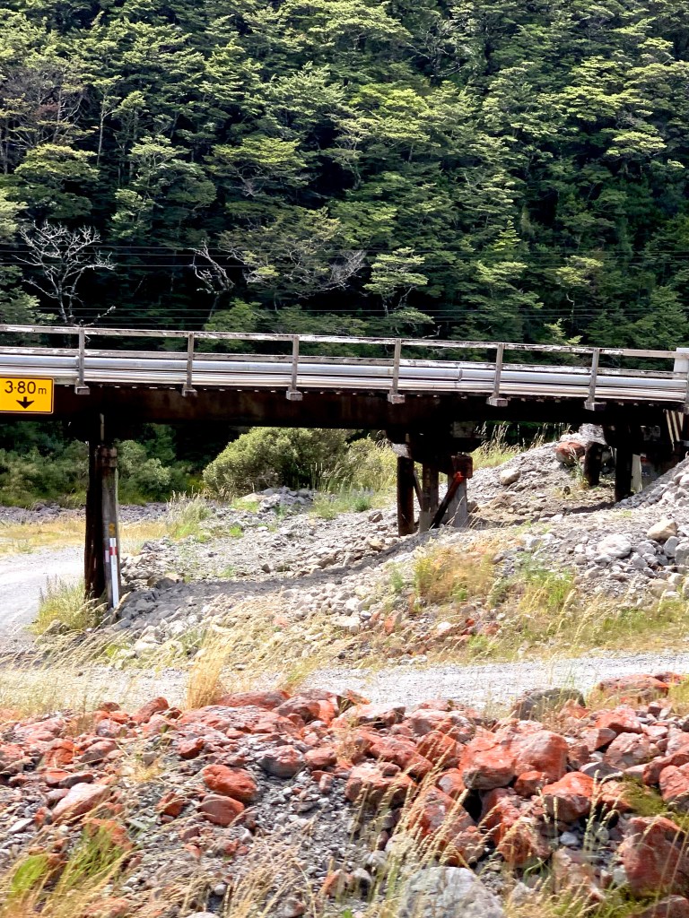
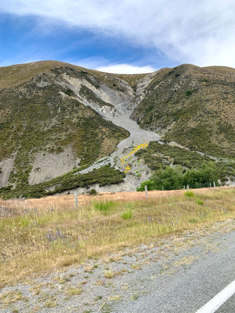
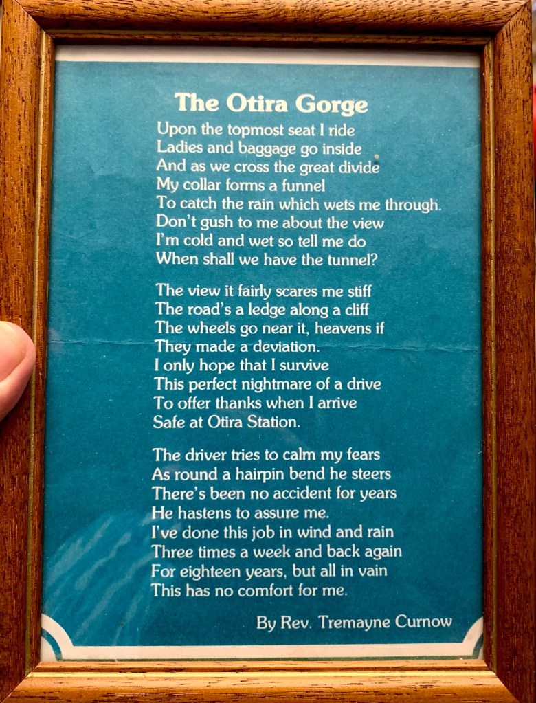
Not long after leaving the Otira Stagecoach Hotel you come to the Otira viaduct which was opened in 1999, replacing a narrow, winding, dangerous section of road that was prone to avalanches, slips and closures. The viaduct comprises four spans of 134m each and the road across it is 8m wide. The gradient is 11.7%.
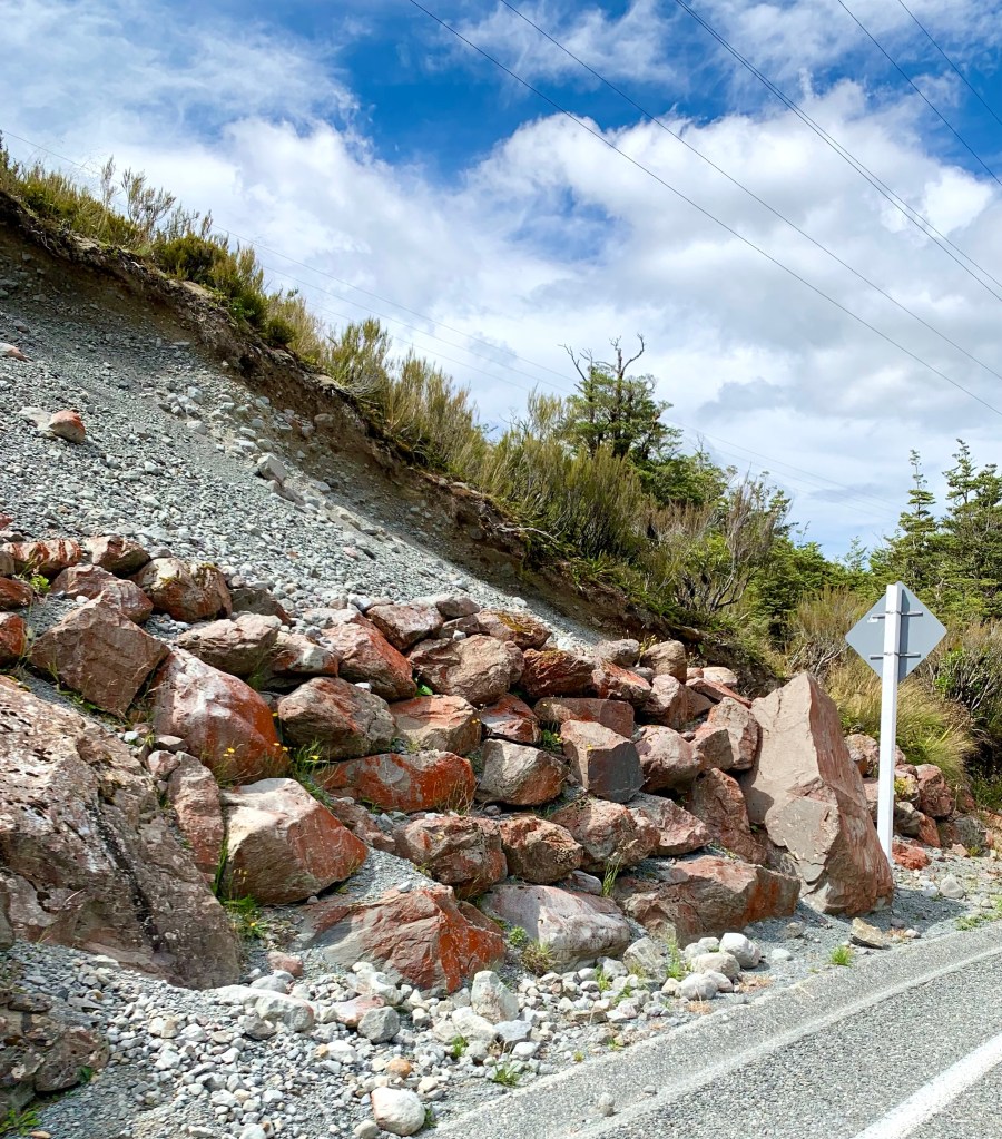
Being in an active seismic region, it makes very good sense to follow advice about rockfalls, avalanches and the like.
The red colour of some of the rocks in this area is caused by iron oxide.
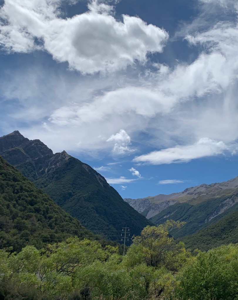
Once over the viaduct, the drive is exhilarating and the scenery deserves the epithet spectacular.
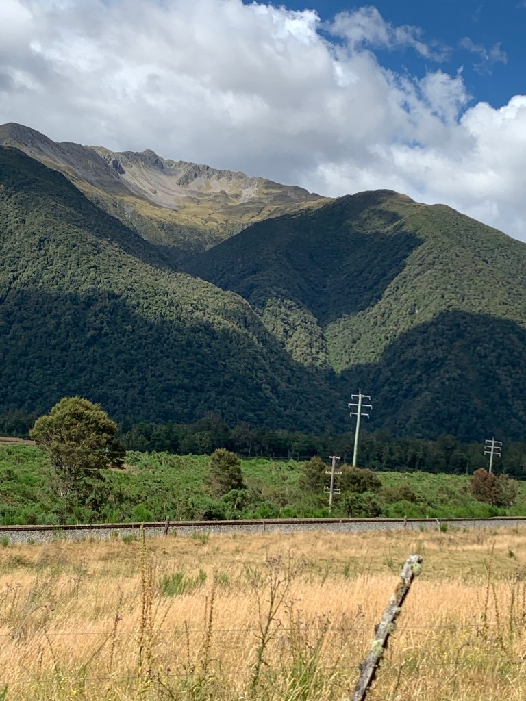
What is especially notable is how many microclimates and ecosystems you go through in a relatively short distance.
All too soon we were already through the mountains and back in farming country.
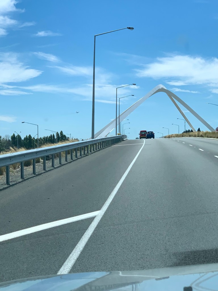
First sight of Christchurch, the Memorial Bridge completed in 2017
The New Zealand Transport Authority devised an urban design competition to design a bridge that is symbolic and functional to welcome Christchurch’s visitors and locals into the city and to reduce congestion by allowing motorway traffic to bypass a very busy intersection. The project to build the bridge was awarded to an architectural firm called Warren and Mahoney. They describe their design as follows:
Linking two distinctive, 27-metre arcs over Christchurch’s main highway, the Memorial Bridge expresses hope and dynamism in one singular form. The silhouette of the Southern Alps shines in the white arcs, which mimic its contours. The fluid nature speaks to the energy of travel, designed for viewing at speed by nearby motorists, passengers and those travelling by air. Inspired by the braided rivers, the two arcs cross paths to symbolise the convergence of Māori and European settlers; paths which take on different perspectives when viewed from different angles. At night, the arcs light in an array of changing colours.
Be still like a mountain and flow like a river – Lao Tzu
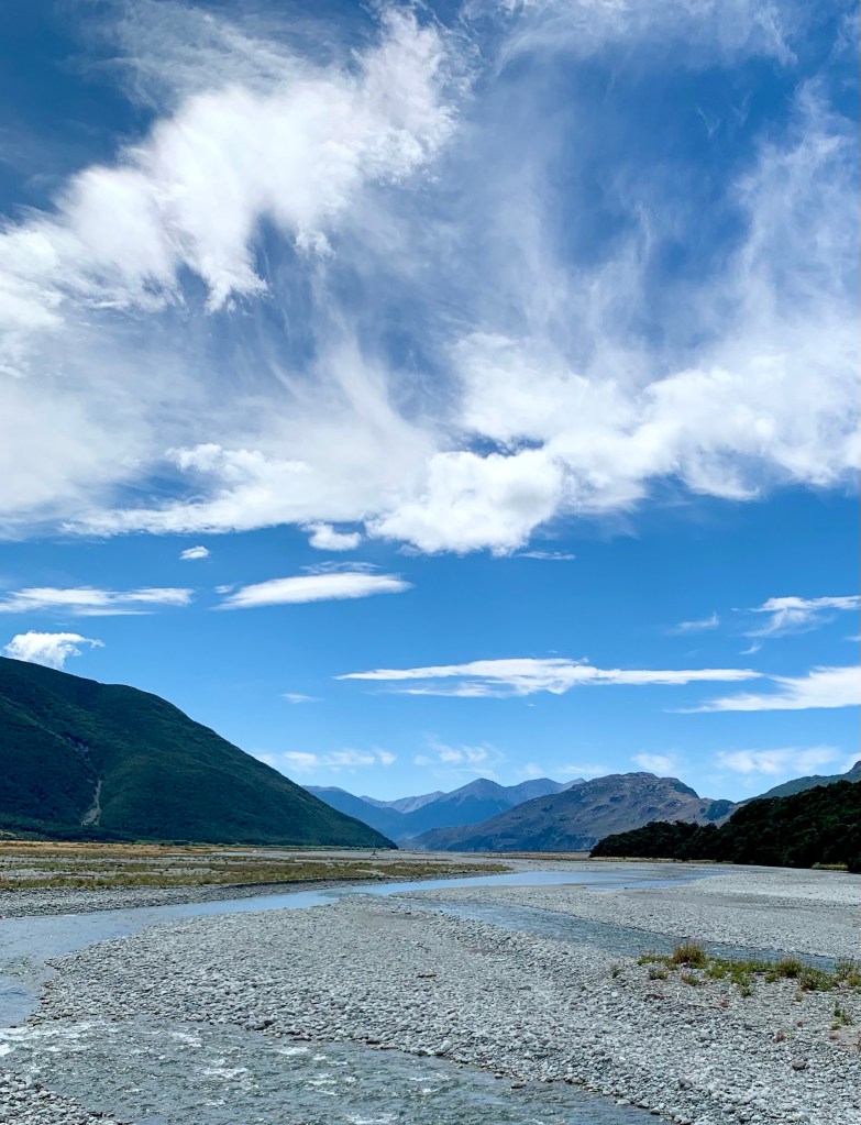
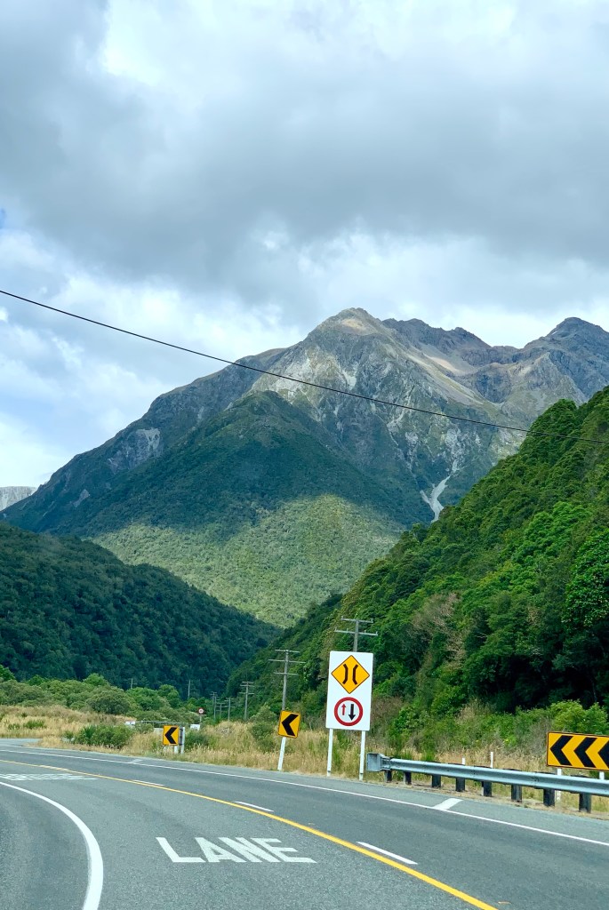
There are two road routes that traverse this part of the South Island: Reefton to Christchurch via SH7 via Lewis Pass (252km) or Greymouth to Christchurch on SH73 (240km) via Arthur’s Pass. There is also a railway crossing called the Trans Alpine route.
We decided to go via SH73, also known as the Great Alpine Highway because it is known as the more spectacular of the two crossings. Located 140 km from Christchurch and 95 km from Greymouth, Arthur’s Pass has an altitude of 739m high and comprises part of a saddle between the valleys of the Otira River (a tributary of the Taramakau River in the west) and of the Bealey River (in the east).
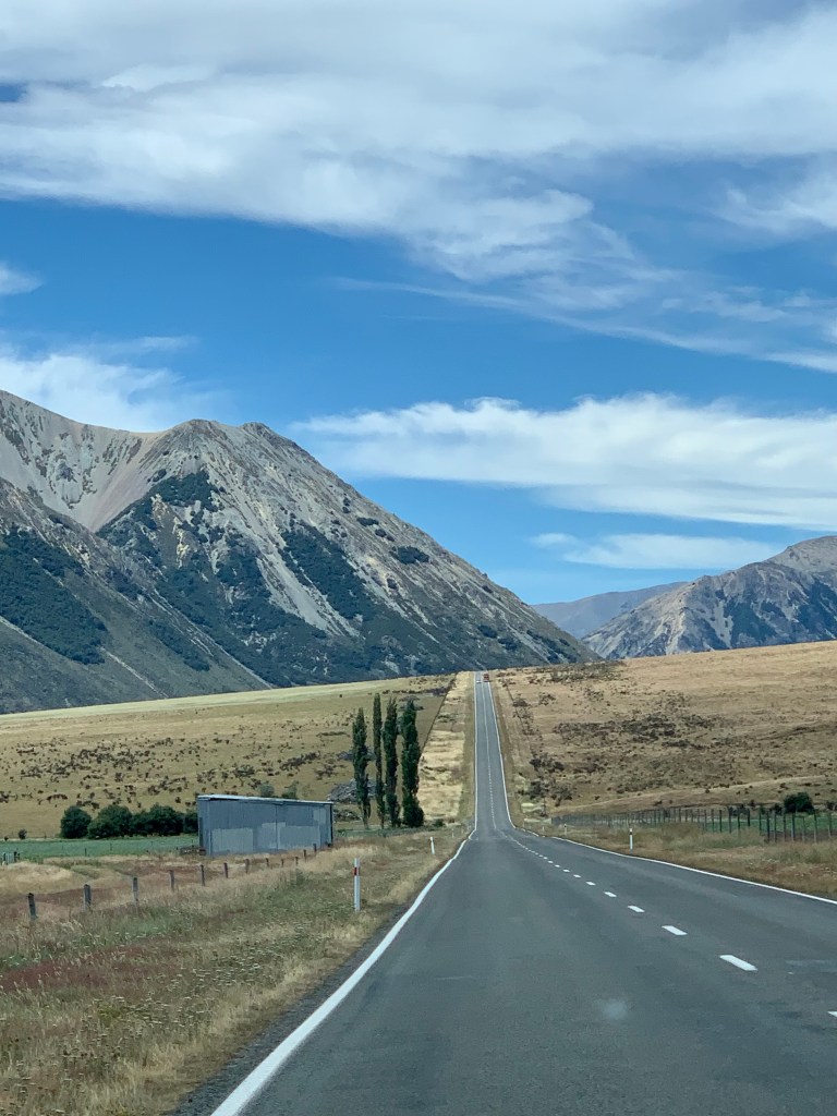
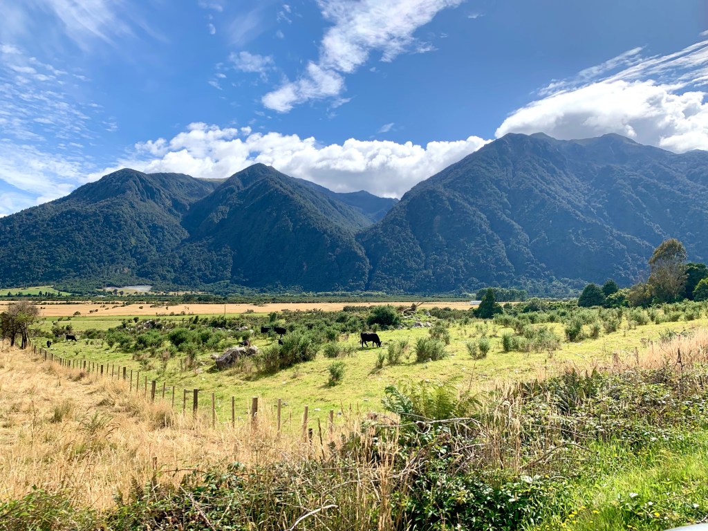
The first part of the journey was through quite flat agricultural land and then the landscape starts to rise. This really is a farming country and there are farms even in the mountains.
Some minor delays due to road works but not bad considering The river, the railway tracks and the road
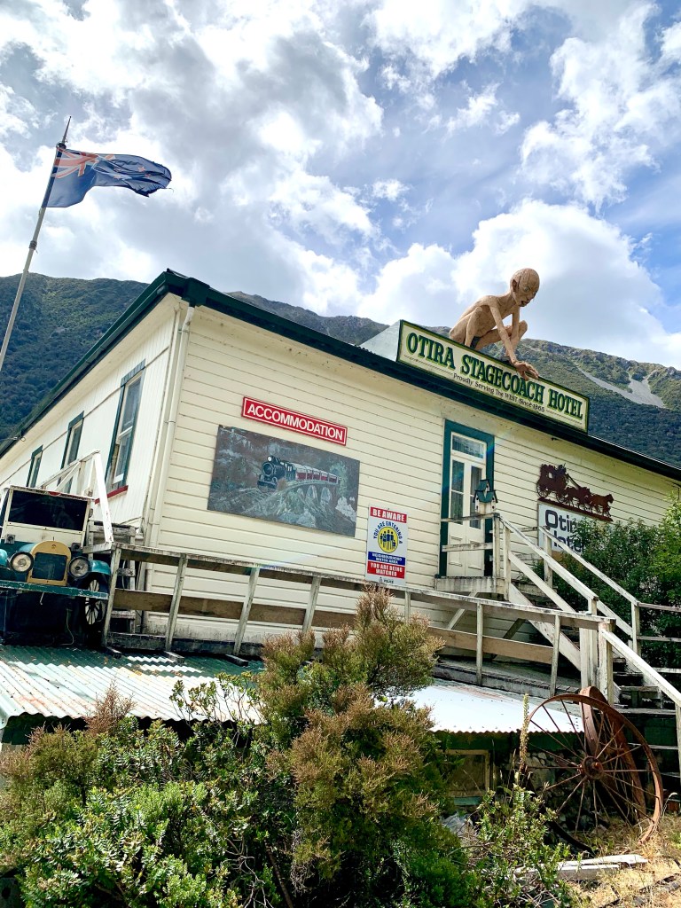
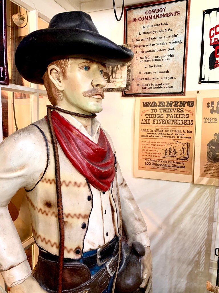
Peter Jackson, the New Zealand film producer and director, shot numerous scenes for his epic Lord of the Rings Trilogy (2001 – 2003) in this area so when we saw Gollum perched in its roof, we couldn’t resist stopping for a light lunch at this rather quirky looking place.
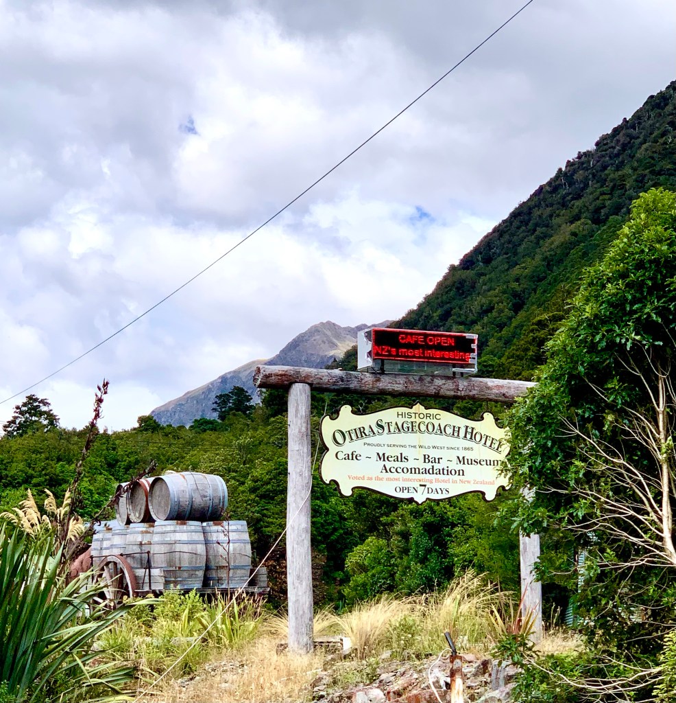
In the 1890s, when Arthur’s Pass was still navigated by coaches run by Cobb and Co, Otira was the main stop between Canterbury and the West Coast. The Otira Railway Station was opened on 13 November 1900 and closed in February 1992. During the construction of the railway tunnel in the 1920s when the line was being extended, Otira housed about 600 workers and their families. By the 1950s the town had a population of only about 350. In the latest census information of 2018, the population was 651.
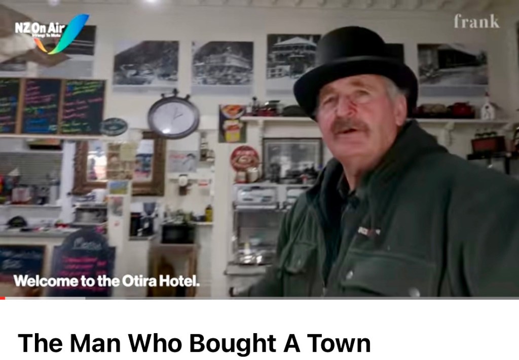
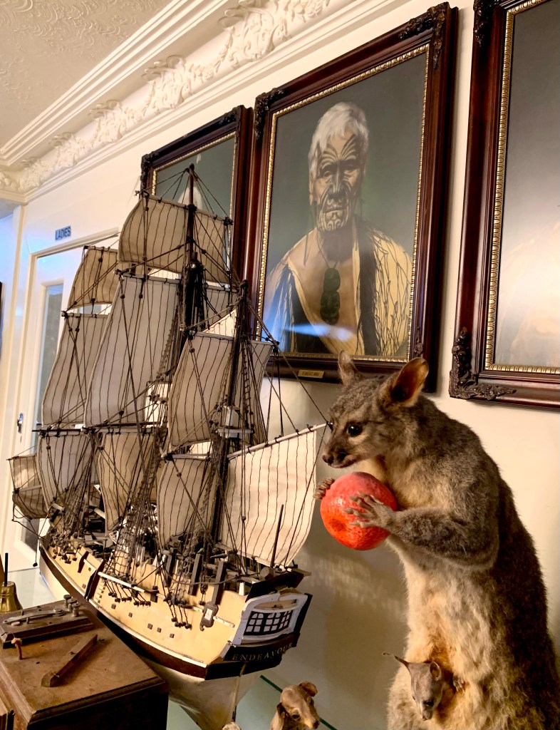
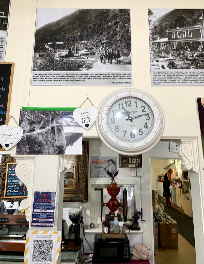
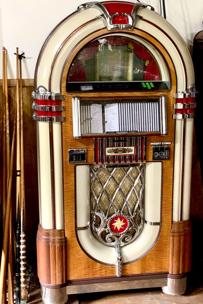
In 2014, the whole village comprising the hotel, 18 houses, a dance hall and a fire station on 25-hectare property was bought by Lester Rowntree for an undisclosed price (of at least NZ$1million.) The hotel was very rundown and Lester has restored it to its original 1902 condition.
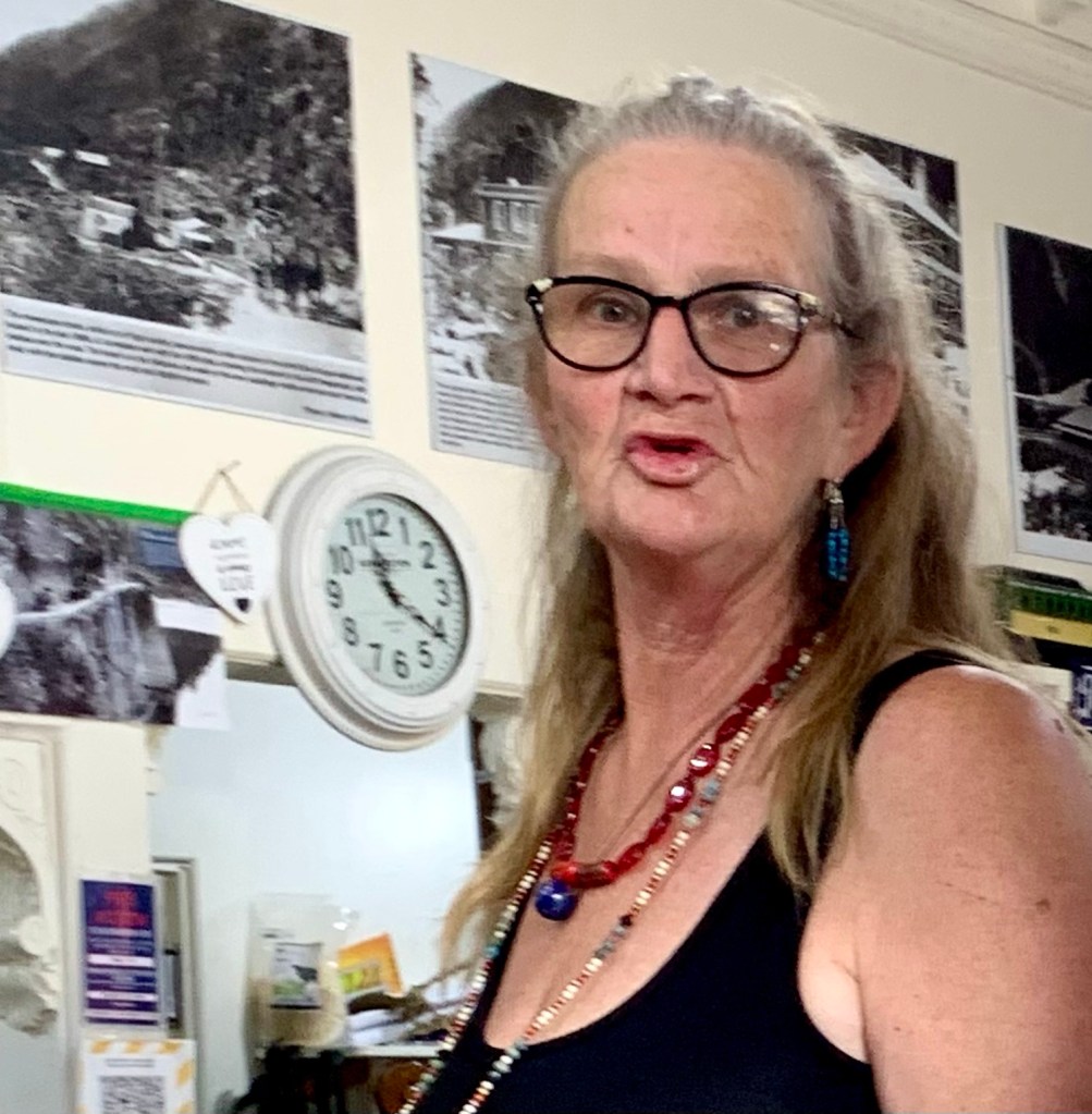
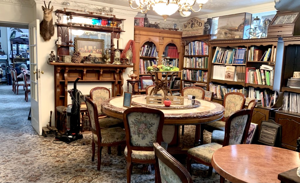
The hotel looks quirky on the outside but it is very quirky indeed on the inside. A self- confessed hoarder, Lester is filling the town with his many collections of curiosities and historical artifacts. Every nook and cranny of the hotel and the 3 rooms of the café are crammed with interesting, unusual and bizarre stuff. We had an interesting conversation with the waitress who is a great enthusiast of the collections and we briefly met Lester as we were leaving.
I recommend you watch this short YouTube video about this very interesting man:
There is a lot of information posted on the walls about the history of the area and especially about the building of the Main Trunk Highway and the Otira Railway tunnel that makes it clear just how enormous and heroic those tasks were.
Lester describes himself as a dreamer who dreams big. He ascribes to Theodore Roosevelt’s sentiments: Far better it is to dare mighty things, to win glorious triumphs, even though checkered by failure, than to take rank with those poor spirits who neither enjoy much nor suffer much, because they live in the gray twilight that knows not victory nor defeat. – T. Roosevelt Strenuous Life Speech 1899
The chief beauty about time is that you cannot waste it in advance. The next year, the next day, the next hour are lying ready for you, as perfect, as unspoiled, as if you had never wasted or misapplied a single moment in all your life.– Arnold Bennett
After a good night’s sleep we were looking forward to today’s drive right across the South Island to Christchurch. Before leaving Greymouth, we decided to have a little look around the town which is the largest town on the West Coast. However, large is a relative term because the whole of the Grey District around the town comprises only 14,200 people which accounts for 43% of the West Coast’s inhabitants. In June 2022, the town itself had an estimated population of 8,320.
We were fortunate to have a sunny day in Greymouth because its mean annual rainfall is high by New Zealand standards and is distributed relatively evenly throughout the year.
Judging from its prominent monuments, it seems that the town has had more than its share of unfortunate events.
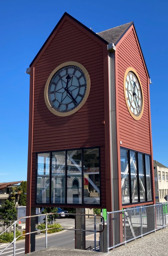
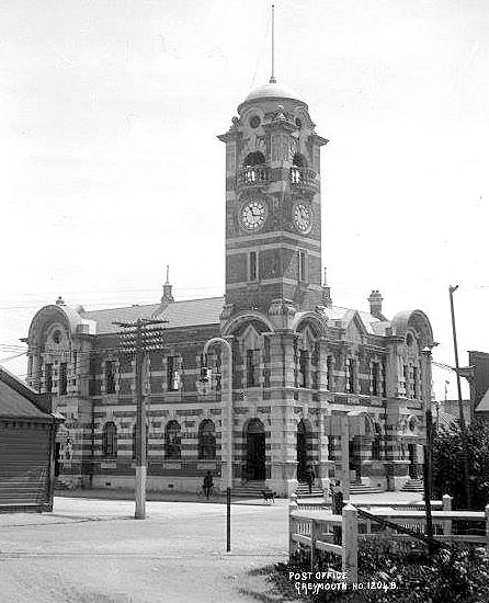
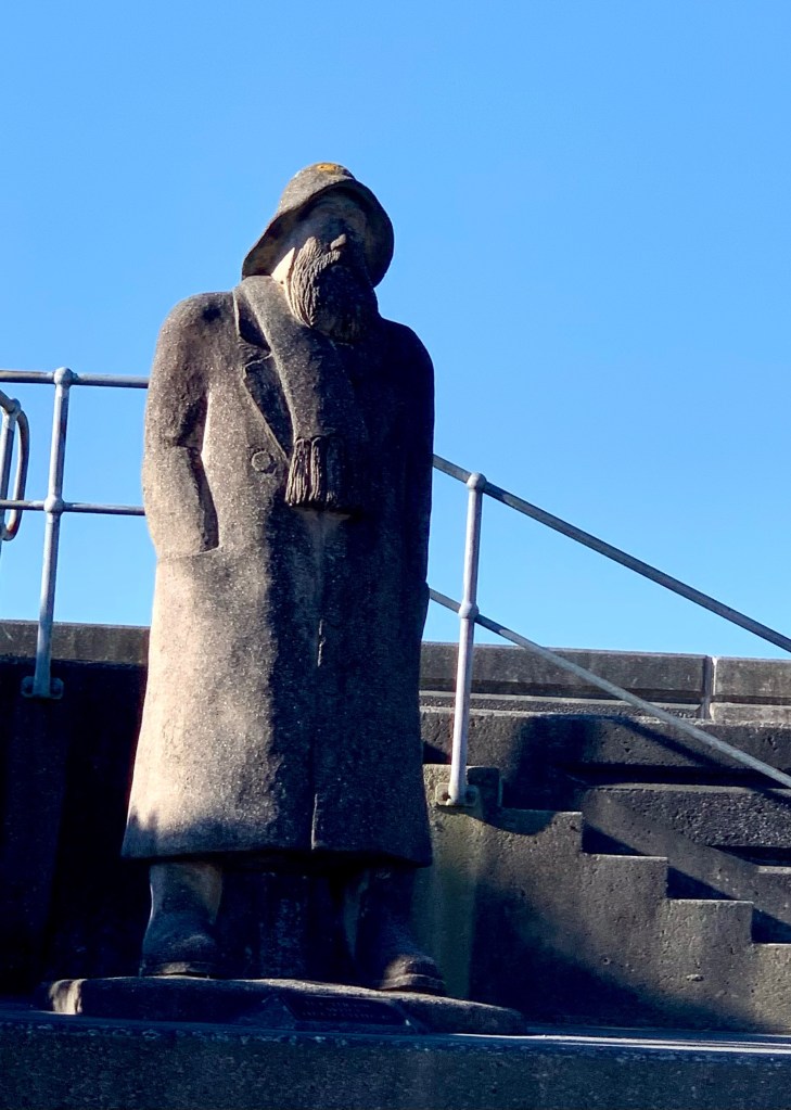
Greymouth Clock Tower is a replica that was erected in 1992 of the tower from the old demolished Post Office. In my opinion, the original was considerably more attractive and aesthetically pleasing. Sadly, the old Edwardian Baroque style Post Office building was badly damaged in the 1929 Murchison earthquake:The Fisherman Statue on the waterfront is dedicated “To those who help others”, it was carved by James Newby to commemorate the collective attempt to save the town from flooding with a sandbag wall in 1988. Shortly afterwards the Grey River Flood Protection wall was built.
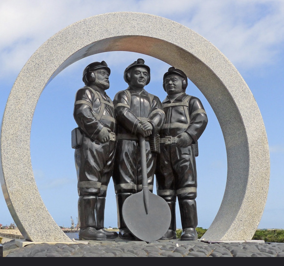
Also on the waterfront is a memorial “In memory of those lost in coal mining incidents within the West Coast Inspection District” – unveiled by the Mayor at the time – Tony Kokshoorn – on 19 January 2013 on the anniversary of the 1967 Strongman Mine disaster. By coincidence we were looking at the memorial on the 19th of January 2023, 56 years after that tragic event.
The sombre and solemn memorial statue commemorating the lives of miners who died in several mining disasters
The state-owned Strongman Mine was New Zealand’s largest underground coal mine. It had been open since 1939, and had an accident-free record. On 19 January, 1967, just after 10am, an explosion underground killed 19 of the 240 men who were working in the mine at the time.
The memorial also commemorates the lives of men lost in two other mining accidents. The deadliest mining accident in New Zealand’s history occurred at the Brunner mine on the 26th of March 1896 when an explosion tore through the mine at 9.30am killing almost half of Brunner’s underground work force. The final death toll was 65.
The most recent of the 3 accidents occurred at Pike River mine on the 19th of November 2010 when there was a large explosion caused by methane gases. A second explosion took place while the rescue attempt was underway and all 29 men still trapped in the mine died.
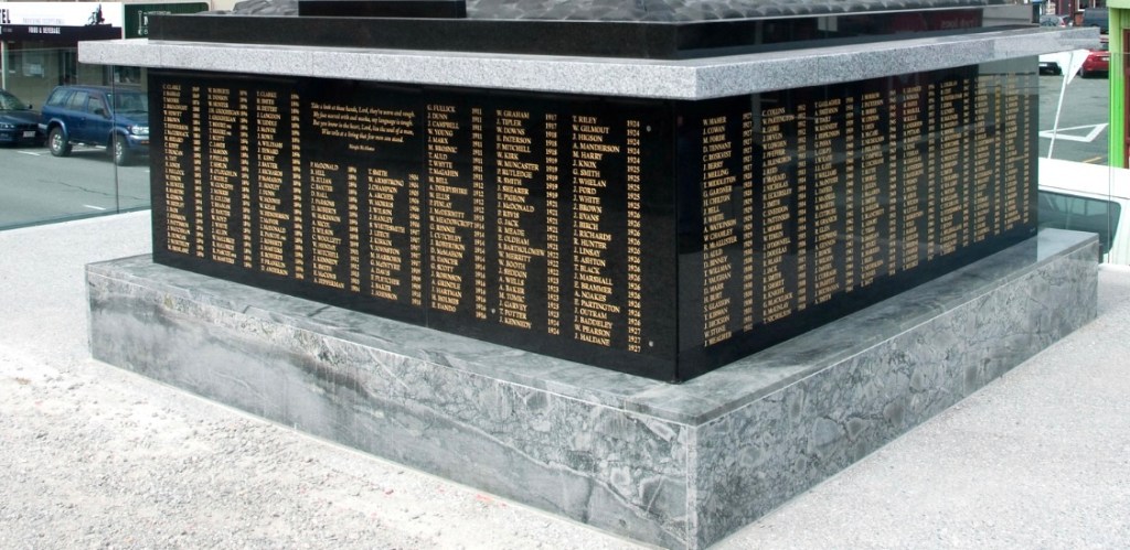
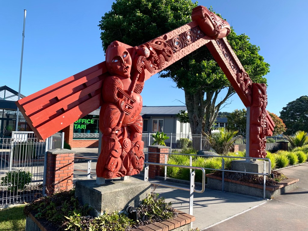
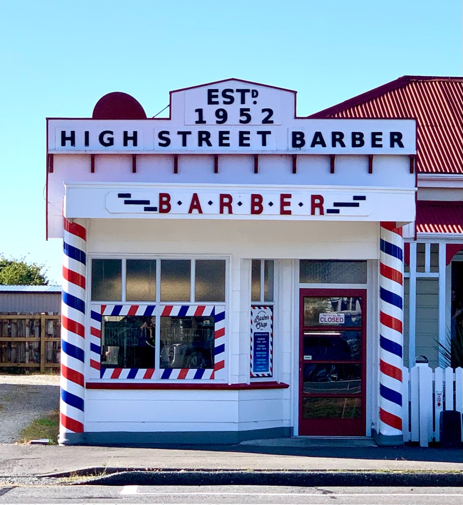
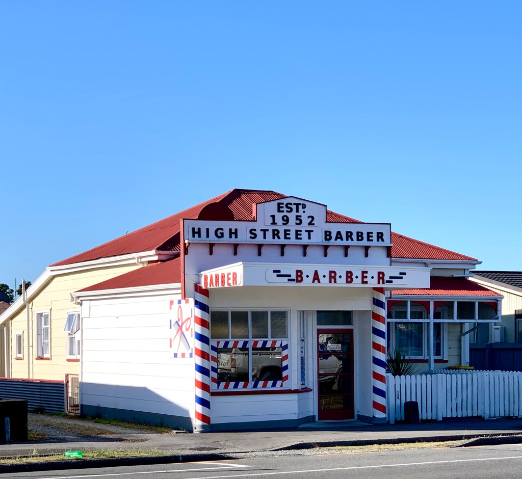
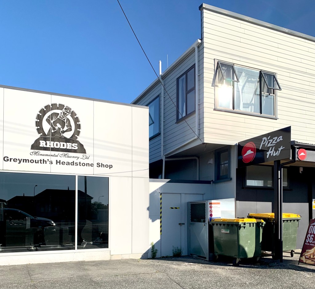
The base of the memorial statue lists the names of all the miners who have lost their lives in mining accidents on the west coast of the South IslandThe impressive entrance to Greymouth High School – the optimistic promise for the future A Greymouth treasureA somewhat disconcerting but perhaps prophetic juxtaposition
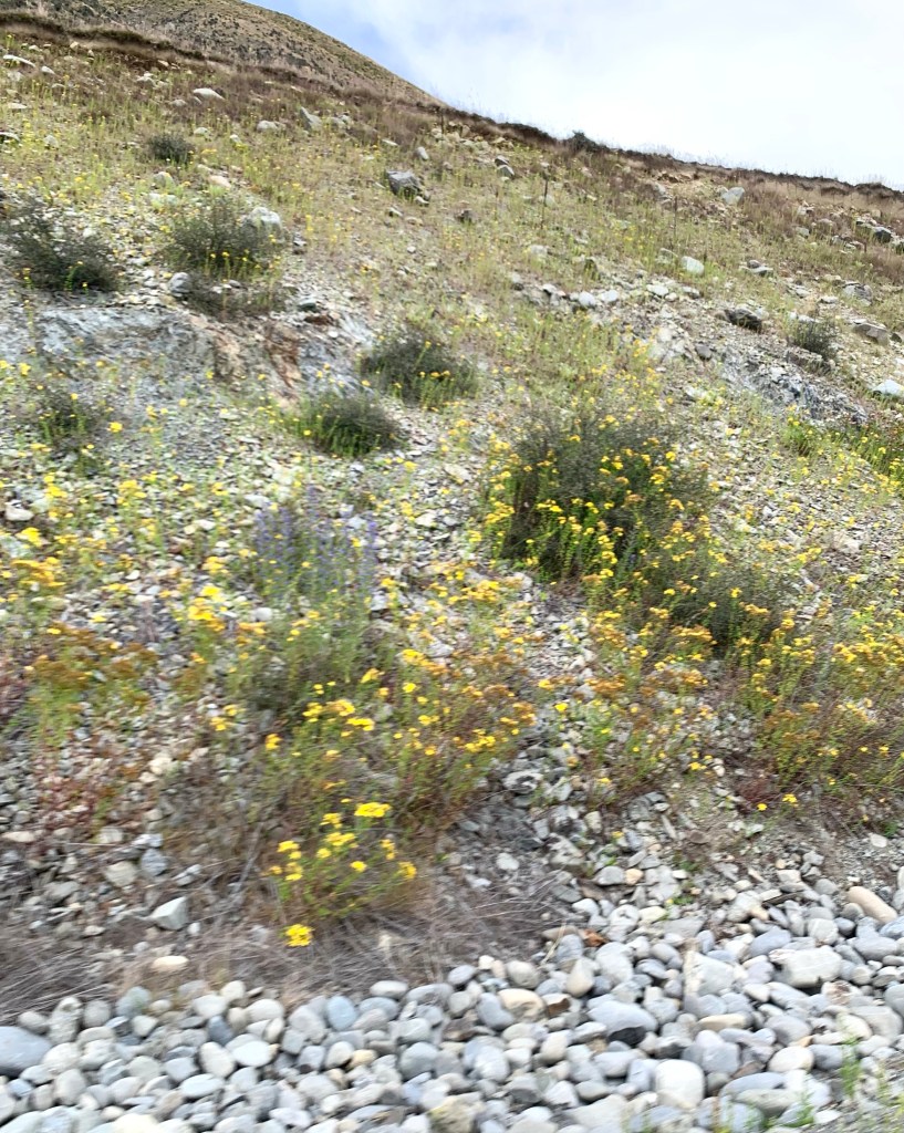
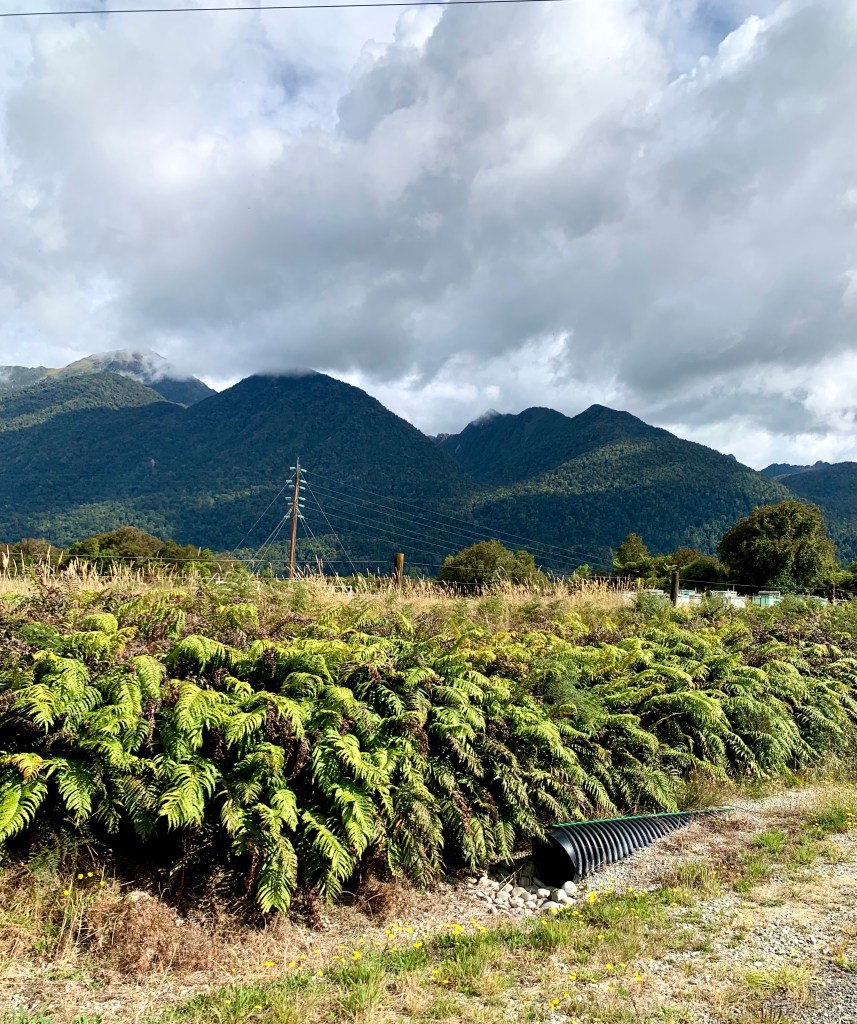
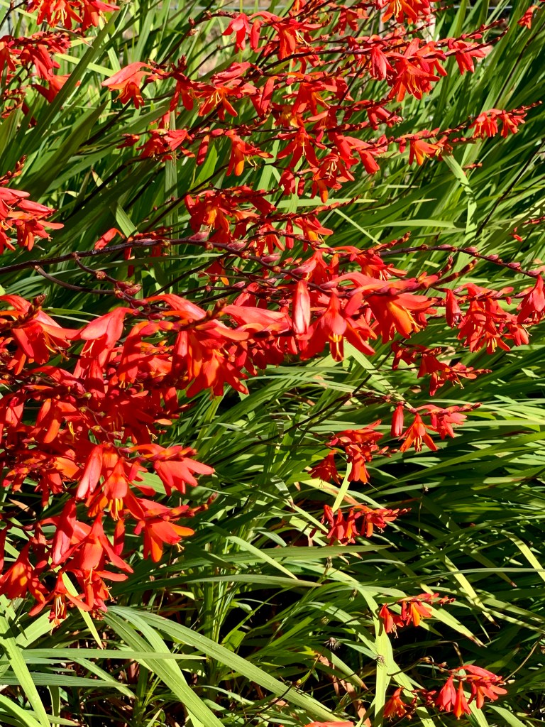
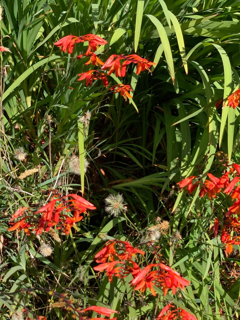
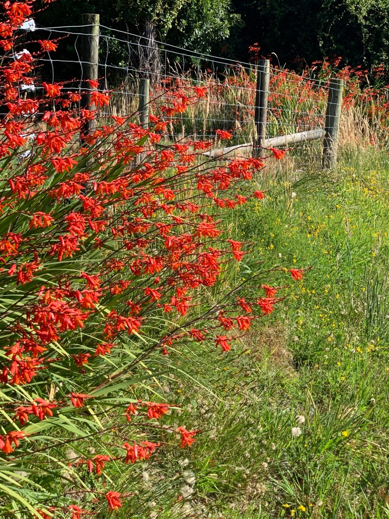
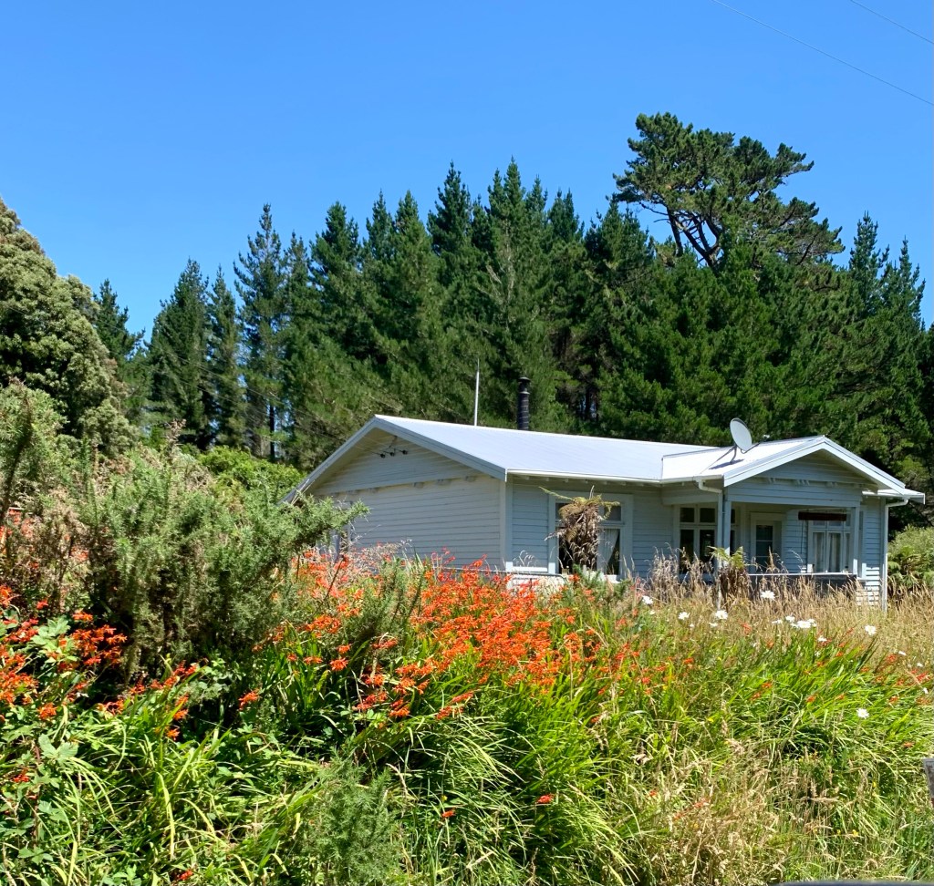
The South Island has an abundance of wild flowers and plants growing along the verges of all its roads which vary from one area to another. For quite a long distance towards Greymouth and away from it again, you can’t help noticing a very striking red flowering plant growing prolifically on both sides of the road like a red carpet.
The gloriously coloured and beautiful Montbretia (Crocosmia x crocosmiiflora)
The Montbretia plant originates in Africa and tropical South America and was introduced to New Zealand as an ornamental species. It was recorded as naturalised in 1935. It is a hardy and fast-growing member of the iris family whose corms and rhizomes multiply rapidly. For this reason, it is considered an invasive plant species in the UK and, under the Wildlife and Countryside Act in England and Wales, it is an offence to plant or otherwise cause to grow this species in the wild.
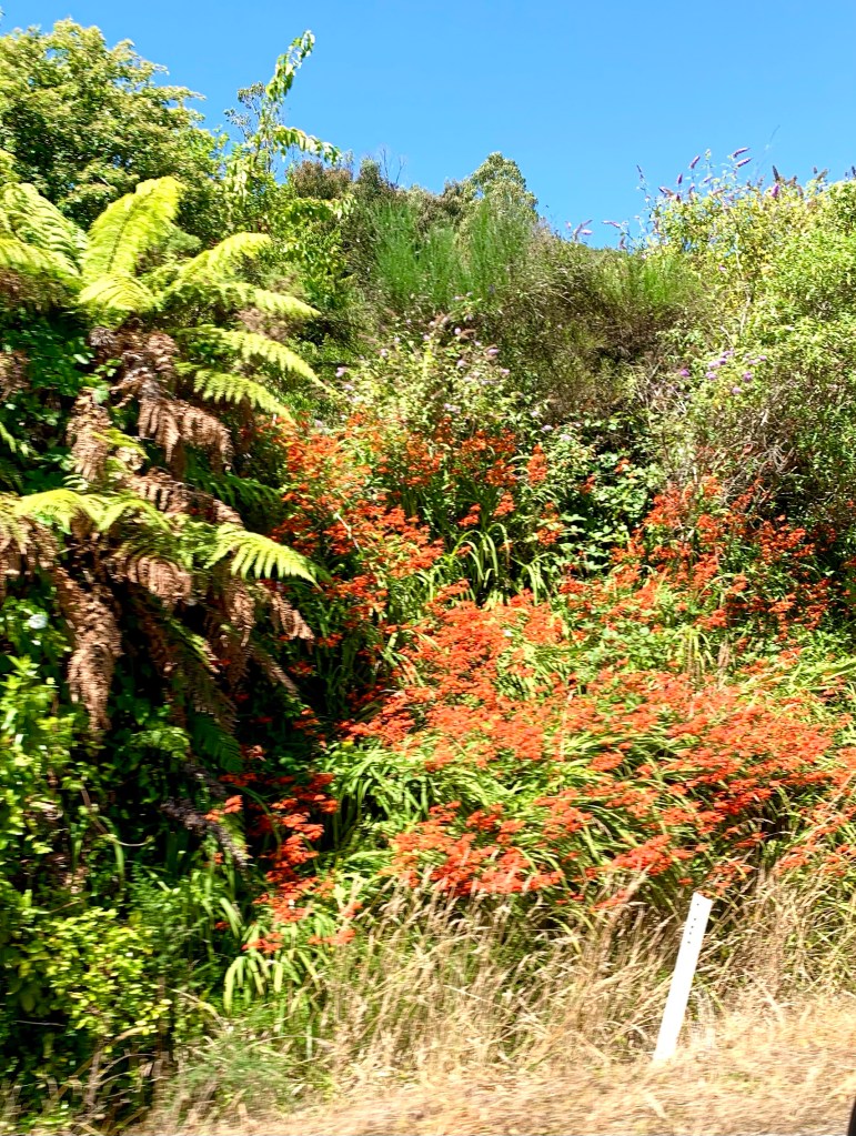
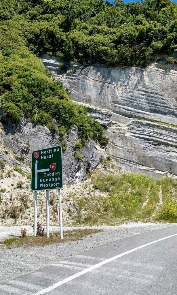
Leaving Greymouth in the direction of Hokitika and Haast and following the little flames of the Montbretia all the way to the junction of SH6 and SH7