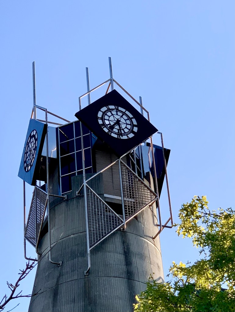
Nelson is a pretty, historic little city that is well worth visiting. Trafalgar Street is the location of both of town’s most iconic and noticeable buildings and, unusually, both are grey in colour. The first thing you see on your right when you cross the bridge into Nelson is a very striking and dominant brutalist-style building.
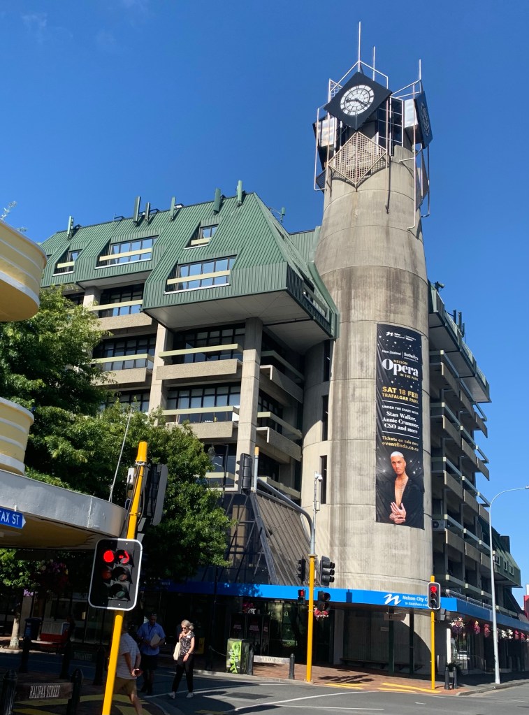
This building has a very controversial history and certainly stands out. It continues to be contentious and to attract a lot of debate and dislike. It is now the civic centre of Nelson but it started out its life as the new central Post Office in 1983.
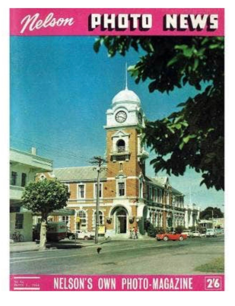
“The hideous thing that the council has approved with its Brobdingnagian milk bottle tower would make Nelson the laughing stock of New Zealand.”
So wrote an indignant L Assheton Harbord in a letter to the Nelson City Council in December 1978, protesting plans for a new central Post Office at the entrance to the city’s main street.
Another anonymous commentator wrote: “The building is an 80s nightmare that manages to be garish and dreary at the same time. A poorly imagined mish-mash of concrete austerity and clockwork kitsch, topped off with a forest green steel mullet.”
Below is Nelson’s former Post Office in 1966 on the front of the Nelson Photo News, four years before it was demolished. The old Nelson Post Office was built in 1906 and demolished because of earthquake risk concerns in 1970. That would certainly not have been acceptable now. Such a loss, in my opinion.
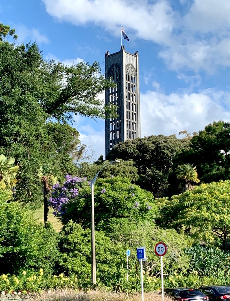
At the other end of Trafalgar Street is a long granite staircase, known as the Cawthron steps, that goes up through lush gardens to the top of Church Hill where Christ Church Cathedral, with its 35m high bell tower, is located. The original church was built in 1851 at a nearby site and the current church is the fifth iteration of the church’s building. The building of the current church was started in 1925 and completed in 1965.
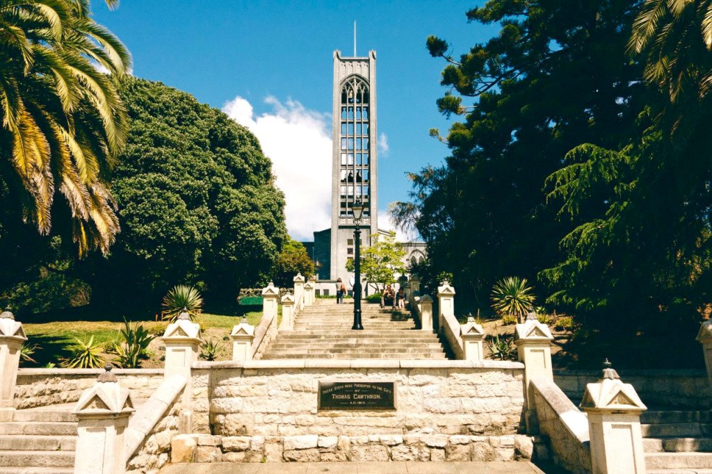
The church was going to be faced with Tākaka marble from the Pakikiruna Range but after the 1929 Murchison earthquake, that was deemed too risky and much too expensive so the marble was ground down and mixed with plaster to give the church its very unusual appearance and colour.
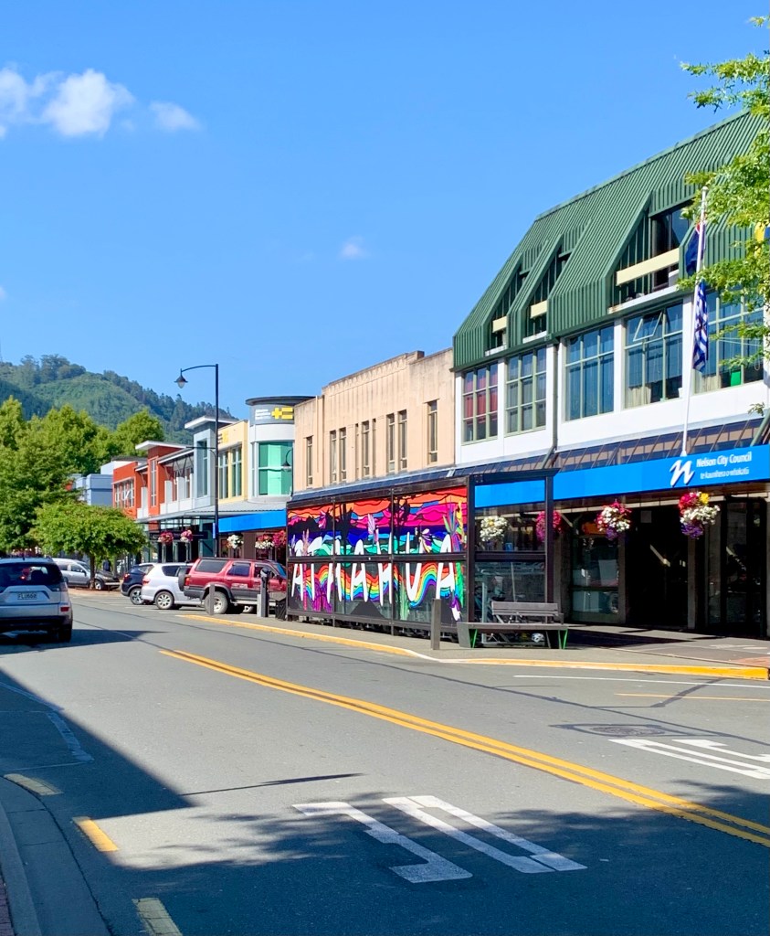
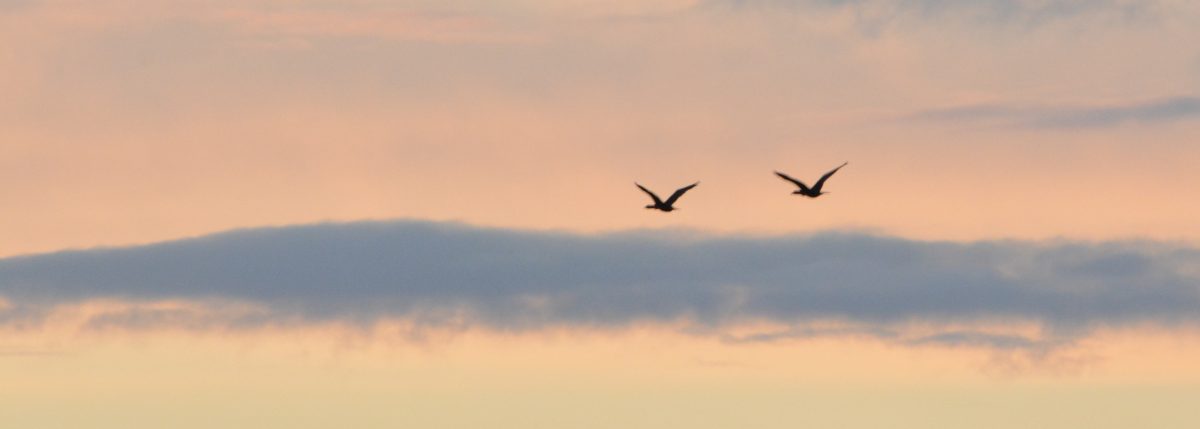
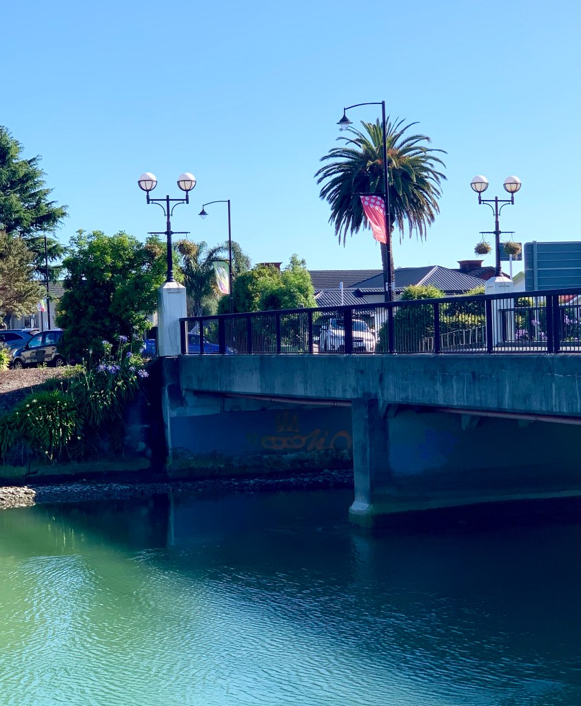
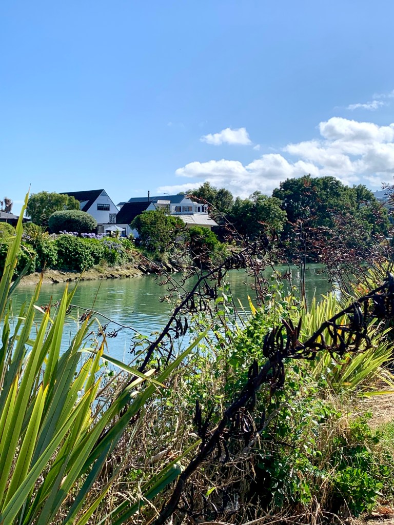
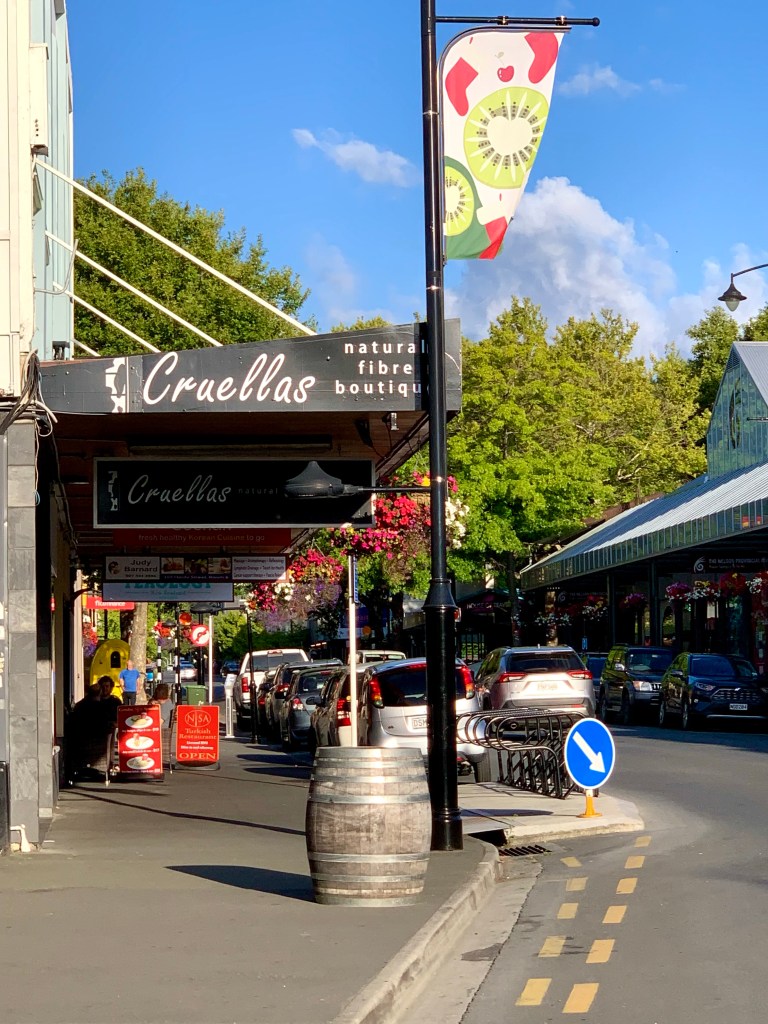
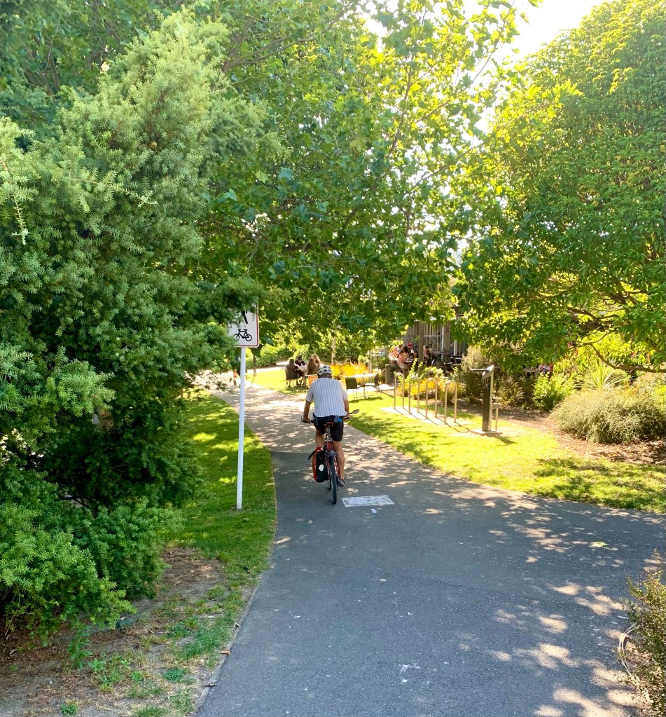
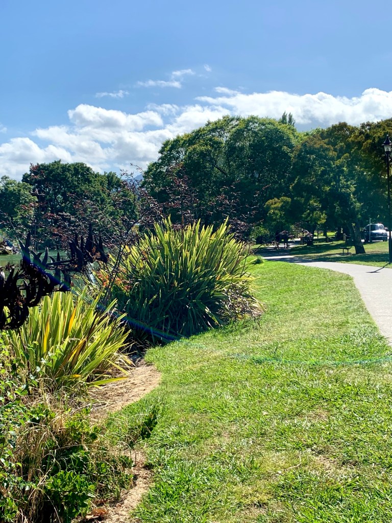
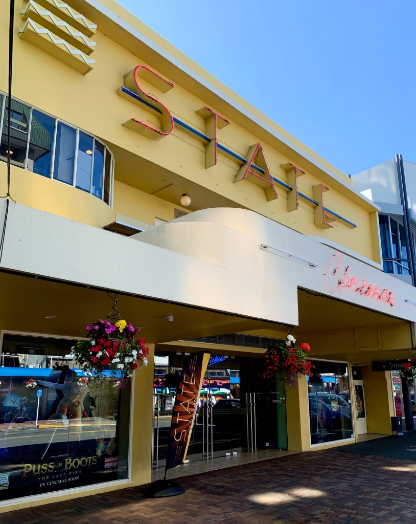
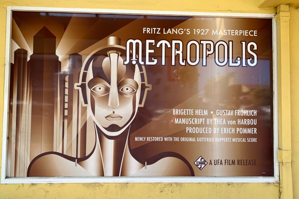
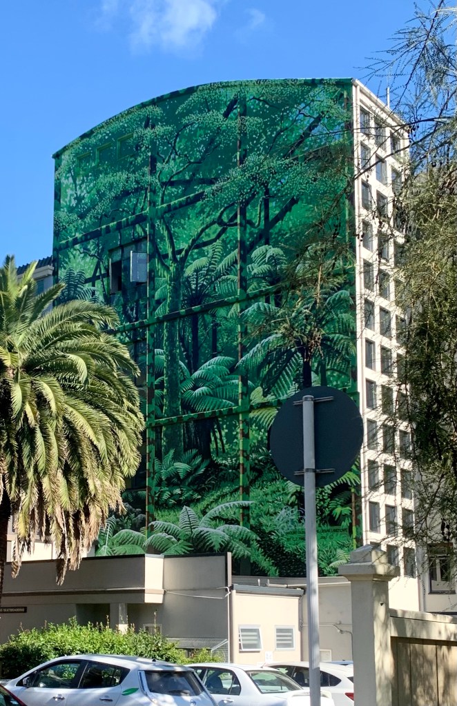
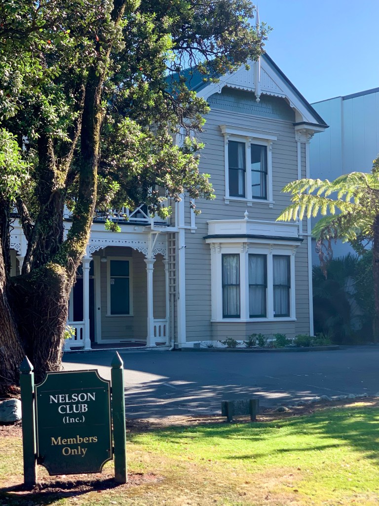
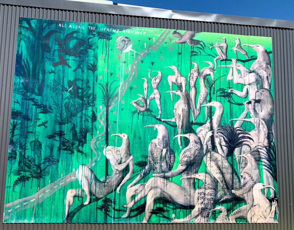
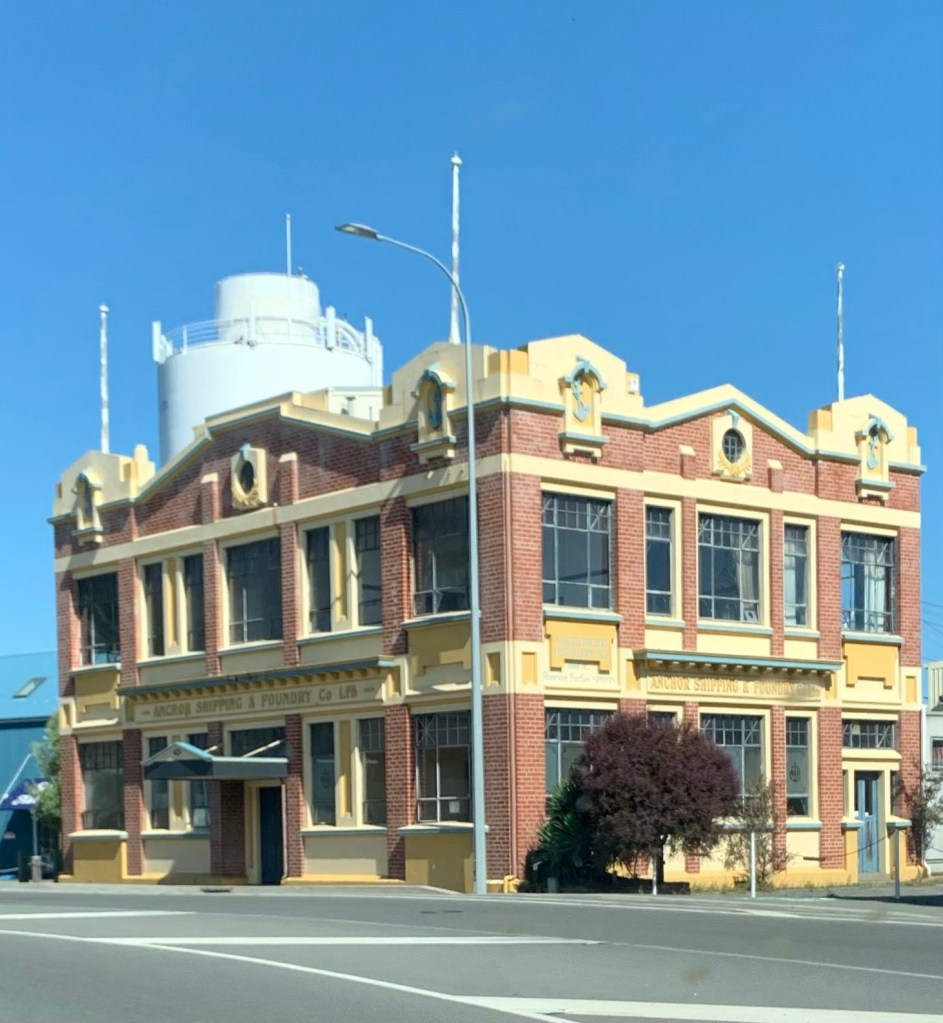
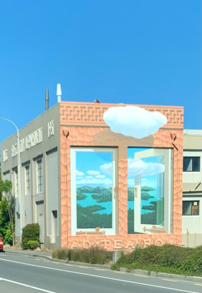
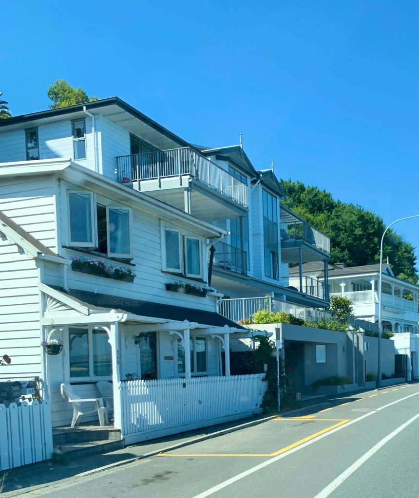
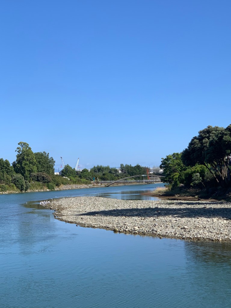
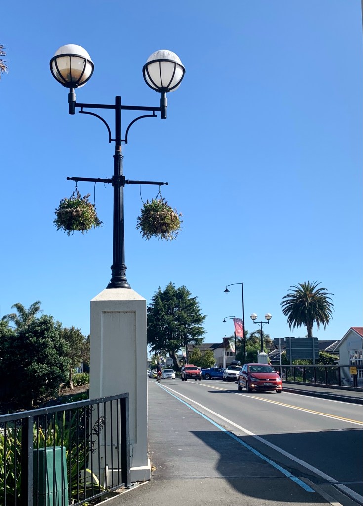
Some views around town:

Nelson’s Botanical Hill was once thought to be the geographical centre of New Zealand because the top of that hill was used as a starting point for trigonometrical surveys by Chief Surveyor of Nelson, John Spence Browning in the 1870s. However, a survey in 1962 determined the true geographical centre of New Zealand to be in the Golden Downs Forest, a few kilometres south of Kohatu, with the exact coordinates: 41deg. 30min S., 172deg. 50min E.
Of course it didn’t end there; in 2008, Kiwi scientists made a successful bid to the United Nations to recognise New Zealand’s Extended Continental Shelf, thereby adding 1.6 million square kilometres of sea floor to New Zealand’s economic zone.
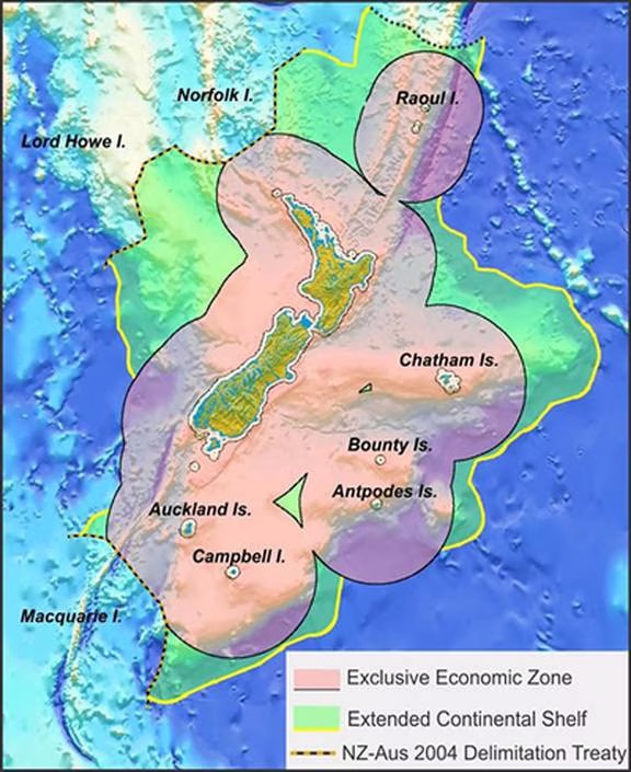
New Zealand’s territory is now said to cover some six million square kilometres, making it eight times as big as Texas and 16 times the size of California. In other words, most of New Zealand’s territory is underwater which means that the new geographical centre of the country is in the Tararua Range on the North island, about 11km northwest of the Wairarapa town of Greytown.
Goodbye Nelson, hope to see you again sometime. You are a great little city. Whether you are the geographical centre of New Zealand or not matters not a jot. I wish we’d had more time to get to know you.

Golly you dredge up some amazing and interesting facts. You are a fount of knowledge and information. You have a thirst for delving and digging and make your tales very interesting reading.
LikeLiked by 1 person
I think it’s called being nosy 😂 Although _curious_ sounds nicer 🤣❤️
LikeLike